Loading…

Free — you'll pick up right here.
Watch this trail
Sign up to watch it — saving subscribes you to gate, closure and report changes.
North Dakota
1.8 mi
Distance
427 ft
Gain
47 min
Time
We won't guess. Here is exactly what we do and don't know.
What we do know
Inside Theodore Roosevelt National Park
National Park unit boundary is mapped — agency alerts for it feed this page automatically.
Boundary data
What's missing
No access route mapped
We don't yet know which road reaches this trailhead, so we can't tell you if it's gated.
Nobody's filed a report here yet — be the first.
Why you'll love it
Painted Canyon Trail
AI-suggested draft · review before you go
No permit or access details on file for this trail — check with the local land manager before you go.
<p>Just before you lies the beginning of the Painted Canyon Trail! This 4.3-mile-long trail offers a great pathway into the canyon I just discussed. You will descend to the canyon floor, where you will be able to fully experience the great scenery Painted Canyon has to offer. Along the trail you will be able to see another of our park’s geological wonders, petrified wood! This rock is another great reminder of the park’s swampy past, as most petrified wood in the park are the remains of bald cypress trees. Petrified wood is formed by the conveniently named geologic process of petrifaction. Petrifaction occurs when a tree is quickly buried in sediment or volcanic ash, protecting it from decay. This sets up the prime conditions for it to become a fossil! Groundwater that seeps through the ash and sediments begins to dissolve and carry silica, or quartz. When this water full of silica soaks into these buried trees, the organic compounds in the wood are replaced with the silica. Over the course of millions of years, the wood is fully converted into rock. Sometimes, the quartz crystals are small enough to preserve the internal structures of the tree, such as still being able to see the growth rings! You will be able to differentiate the petrified wood from other rocks by its mixture of white, orange, and purple colors. With many samples along the trail being preserved stumps, their shape should make them an easy spot as well!</p> <p>At the turnaround point of the trail, you will see that you are now connected to the Upper Paddock Creek Trail, allowing you to go further into the park. Upper Paddock Creek can take you west where you will then connect to the Rim Trail, or east further into the interior of the park. Many of the extended trails in the park are connected at some point, allowing for an extensive web of paths to explore the park. This network of trails allows visitors to be able to get a comprehensive grasp of the landscape, wildlife, plant life, and history of Theodore Roosevelt National Park. Even with this extensive trail system, there can be something interesting in the park that lies off trail. Another path off the Painted Canyon trail junction allows you to continue north into the park, although it is not an official trail. However, this is not an issue at all! Since there is no requirement to remain on the trail in Theodore Roosevelt National Park, this gives visitors a unique opportunity to explore an area that catches their eye, no trail required! Even with this opportunity, safety is still paramount. If you do wander off trail in the park, make sure that you can get back to the trail and return to the trailhead.</p>
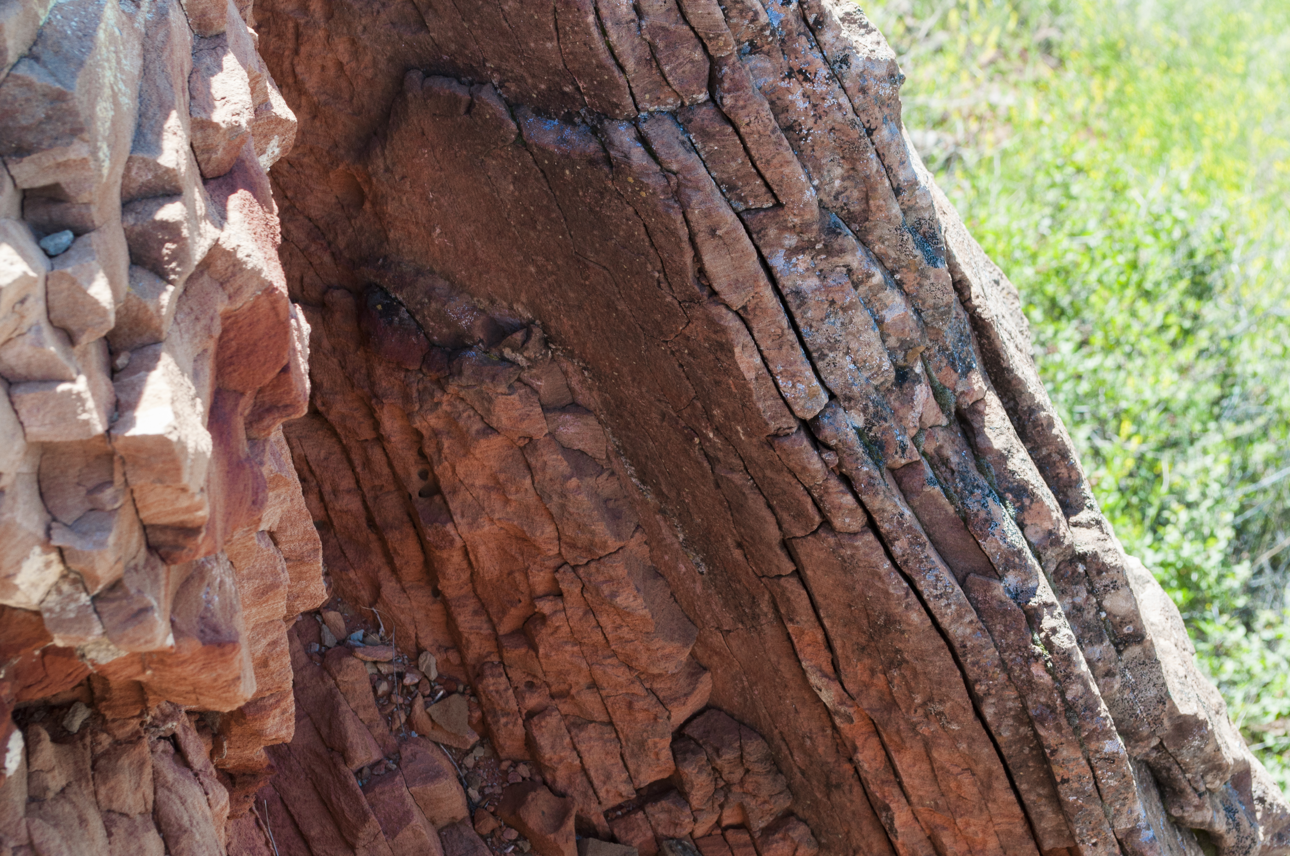
Coal Vein Trail Post 9: Clinker
~4 min drive
Feel the red rock next to the post. It is locally called scoria, but its true name is clinker. Clinker is created when a burning coal seam bakes the rock layer above it. Baking rock is like putting clay into a kiln to make pottery - the rock hardens as it bakes. Because clinke…
Coal Creek
~18 min drive
Easy out-and-back creek walk in North Dakota.
Buffalo Gap
~26 min drive
Moderate 11.90-mile out-and-back badlands hike through scenic canyon terrain.
Ice Caves
~50 min drive
3-mile out-and-back hike to natural ice cave formations in North Dakota badlands.
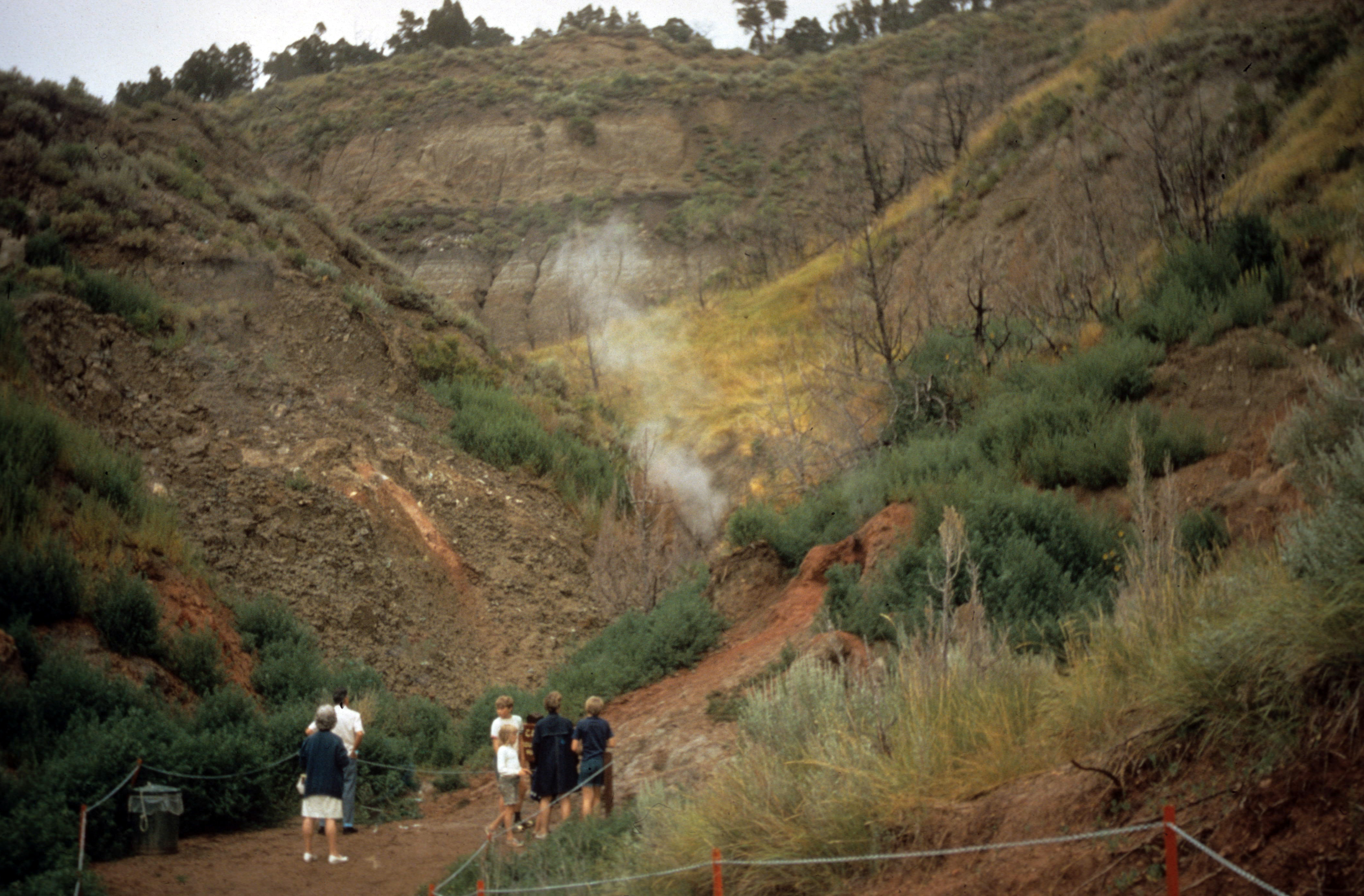
Coal Vein Trail Post 7: Burn Out
~4 min drive
Just ahead and to the right is where the coal vein fire burned out after 26 years (1951-1977). Visitors could see smoke, glowing coals, and sometimes flames. They even roasted marshmallows over the fire! <hr /><strong>Caution! Steep cliff edges ahead.</strong>
Buffalo Gap Loop
~25 min drive
Easy 2.68-mile loop through North Dakota's scenic Buffalo Gap area.
Maah Daah Hey - North Dakota
~1h 3m drive
Point-to-point badlands trail featuring dramatic formations and prairie views.
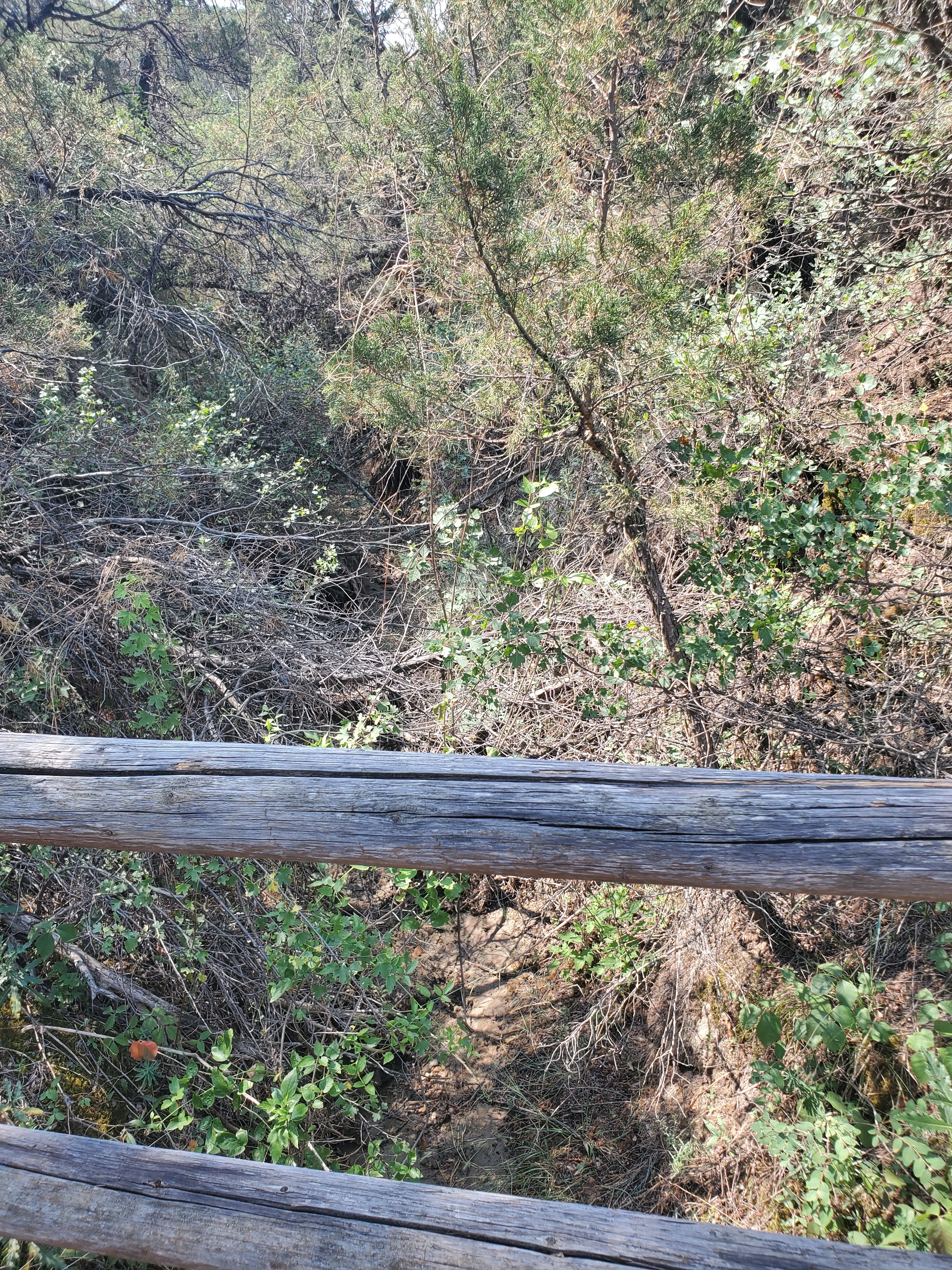
Coal Vein Trail Post 10: Seasonal Stream
~4 min drive
Just ahead, stairs lead to the valley of a seasonal stream. As you descend, notice the cool, moist air against your skin. Because it is protected from the sun, this area stays moist and cool. Note the plants you see here and compare them to the plants you encountered in open g…
Summit Viewpoint
~1h 17m drive
Quick out-and-back hike to scenic viewpoint in North Dakota.
Cottonwood
~1h 5m drive
13.86-mile out-and-back badlands hike with expansive prairie views.