Loading…

Free — you'll pick up right here.
Watch this trail
Sign up to watch it — saving subscribes you to gate, closure and report changes.
North Dakota
0.8 mi
Distance
112 ft
Gain
19 min
Time
We won't guess. Here is exactly what we do and don't know.
What we do know
Inside Theodore Roosevelt National Park
National Park unit boundary is mapped — agency alerts for it feed this page automatically.
Boundary data
What's missing
No access route mapped
We don't yet know which road reaches this trailhead, so we can't tell you if it's gated.
Nobody's filed a report here yet — be the first.
Why you'll love it
Coal Vein Trail Post 9: Clinker
AI-suggested draft · review before you go
No permit or access details on file for this trail — check with the local land manager before you go.
Feel the red rock next to the post. It is locally called scoria, but its true name is clinker. Clinker is created when a burning coal seam bakes the rock layer above it. Baking rock is like putting clay into a kiln to make pottery - the rock hardens as it bakes. Because clinker is one of the hardest rocks in the badlands, it functions as a caprock atop many buttes.
Coal Vein Trail Post 4: Caprocks
~0 min drive
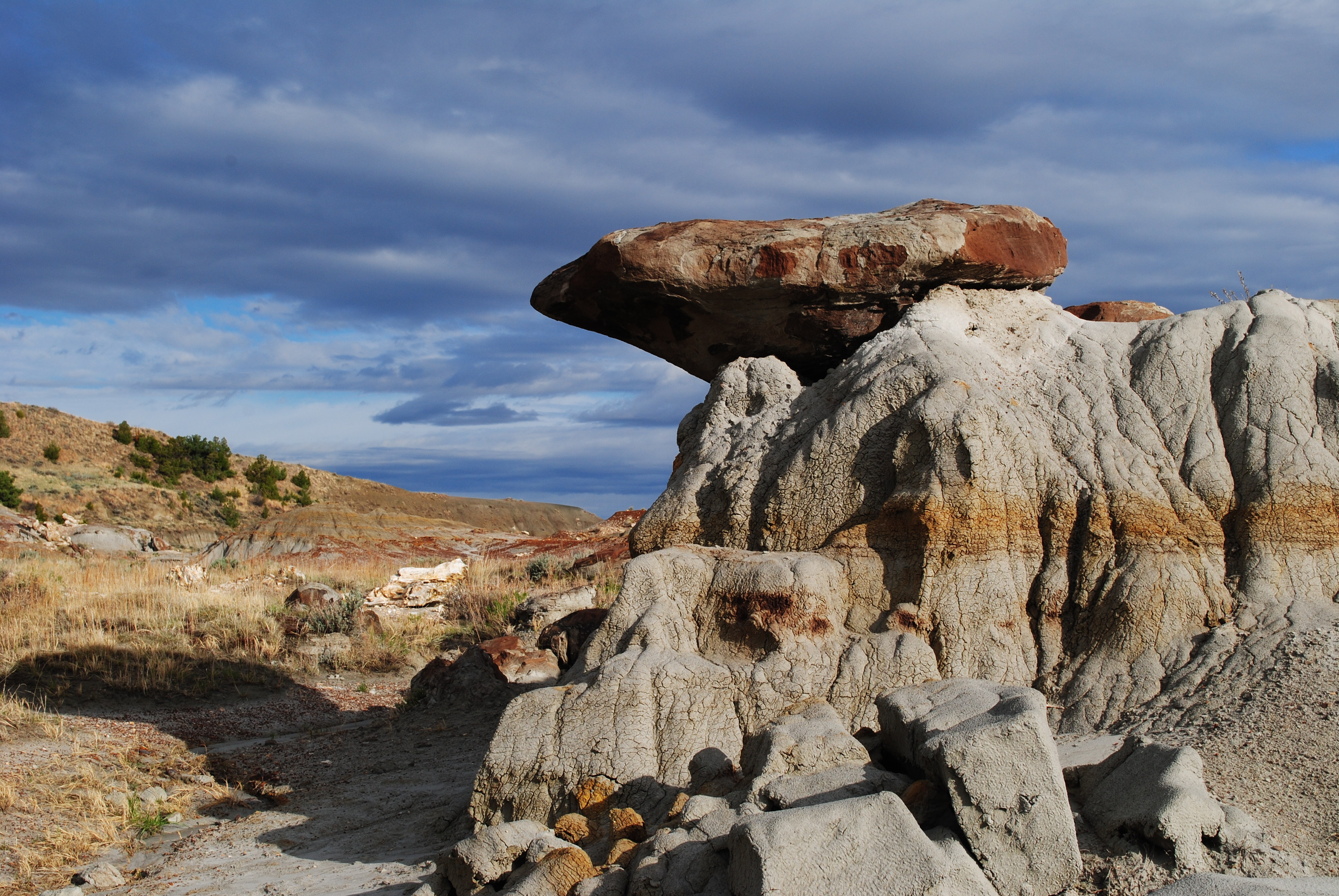
Rocks in the badlands are generally soft and easily eroded by rain and streams. Some are harder than others, and become <b>caprocks</b>. A caprock acts like a helmet, shielding softer rock underneath. When the rocks underneath finally erode away, large pieces of caprock break…
Coal Creek
~20 min drive
Easy out-and-back creek walk in North Dakota.
Buffalo Gap
~23 min drive
Moderate 11.90-mile out-and-back badlands hike through scenic canyon terrain.
Ice Caves
~46 min drive
3-mile out-and-back hike to natural ice cave formations in North Dakota badlands.
Coal Vein Trail Post 1: Layers
~0 min drive
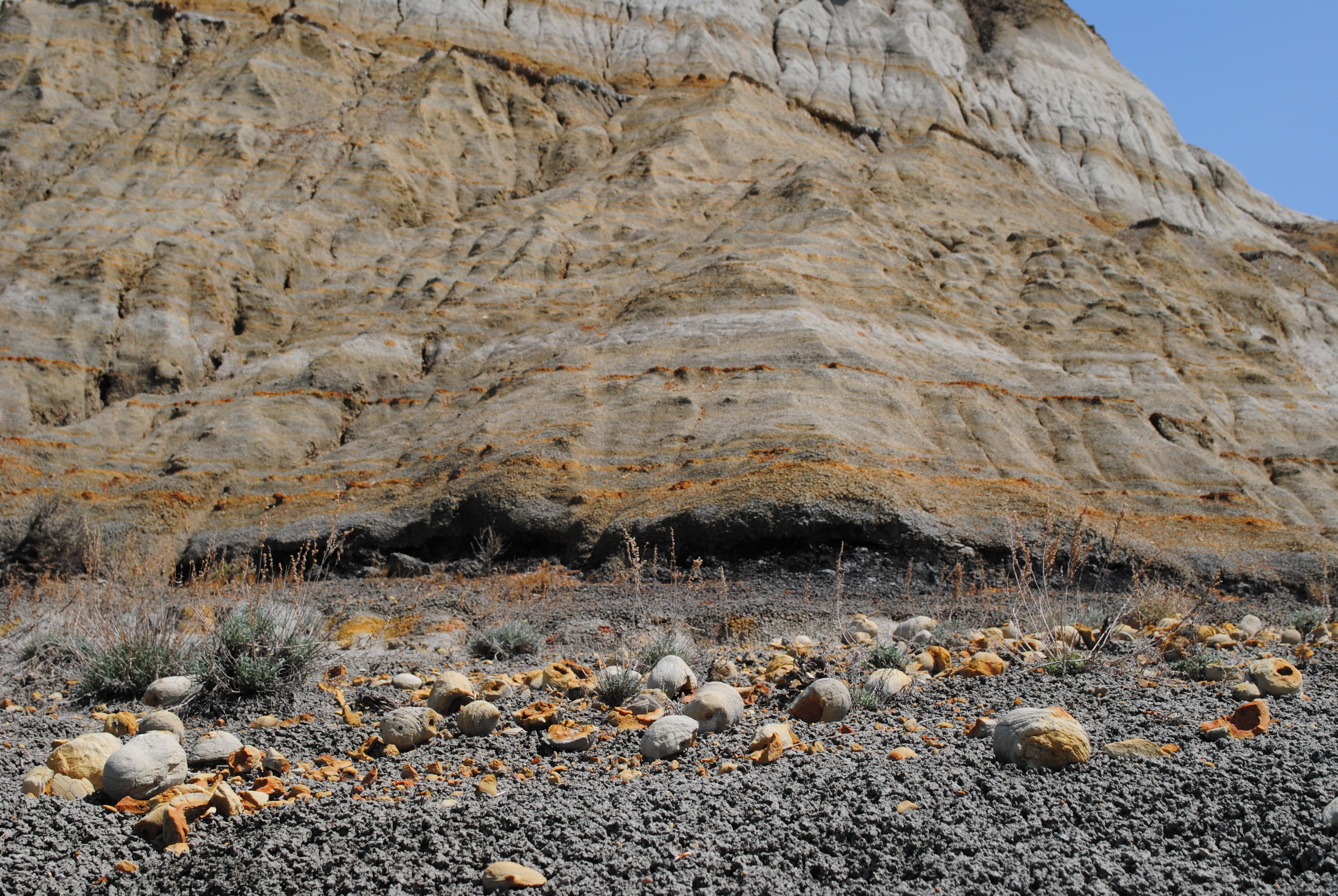
Each layer of rock has its own origin story, told by its color.<br /> <br /> <span style="color:#e74c3c;"><strong>Brick-Red</strong></span><br /> <strong>Clinker</strong> forms when coal veins catch fire and bake the rock above, changing it into this much harder, red rock.<br…
Buffalo Gap Loop
~23 min drive
Easy 2.68-mile loop through North Dakota's scenic Buffalo Gap area.
Cottonwood
~1h 2m drive
13.86-mile out-and-back badlands hike with expansive prairie views.
Coal Vein Trail Post 13: Slumping
~0 min drive
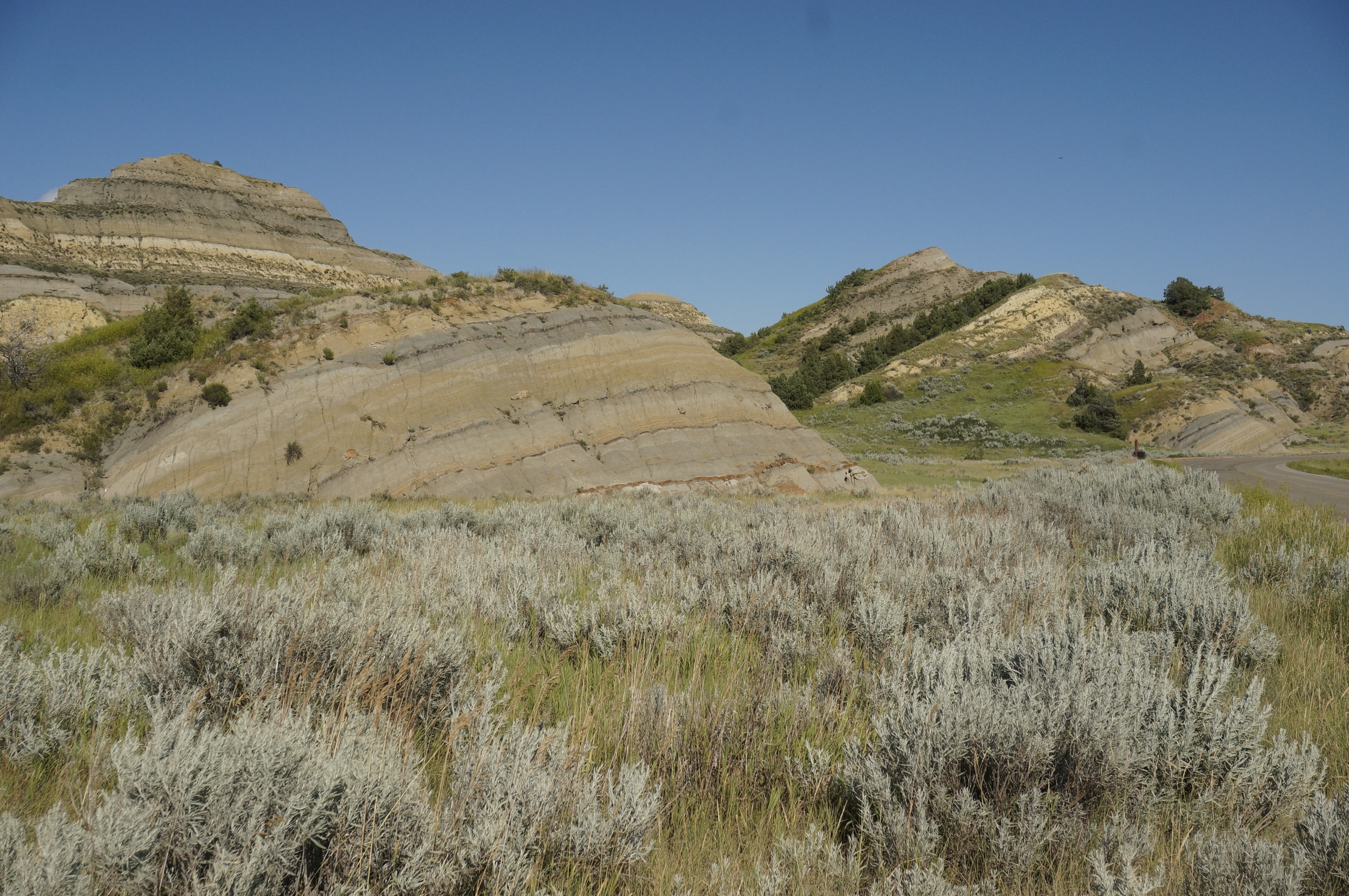
The hill in front of you has the appearance of sliding slowly into a jumble. That is exactly what it is doing through a process called slumping.<br /> <br /> When the coal vein burned under this area, cracks formed in the hillside. Rain flowing into the cracks weakens the hill…
Summit Viewpoint
~1h 14m drive
Quick out-and-back hike to scenic viewpoint in North Dakota.
Bennett
~1h 8m drive
6.12-mile out-and-back prairie hike near Bennett, North Dakota.
Also worth it near here