Painted Canyon Nature Trail
- 2.2 mi
- loop
- Loop
- route
- Easy
- difficulty
- May–Oct
- best months
Is Painted Canyon Nature Trail open right now?
No closures listed
The National Park Service lists no closures for Theodore Roosevelt National Park.
As of · Source: NPS · Theodore Roosevelt National Park. Agencies don't list every closure — check before you go.
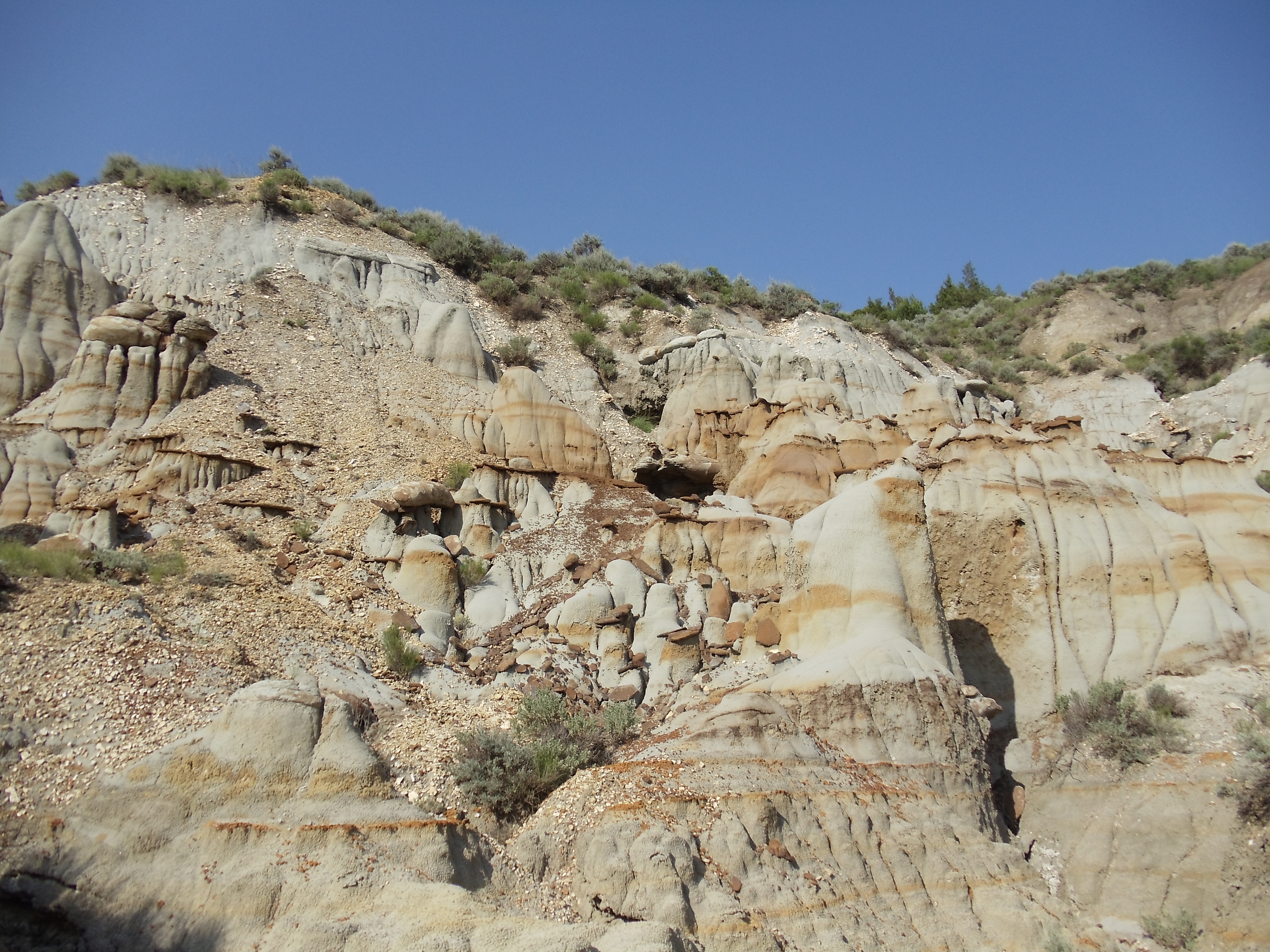
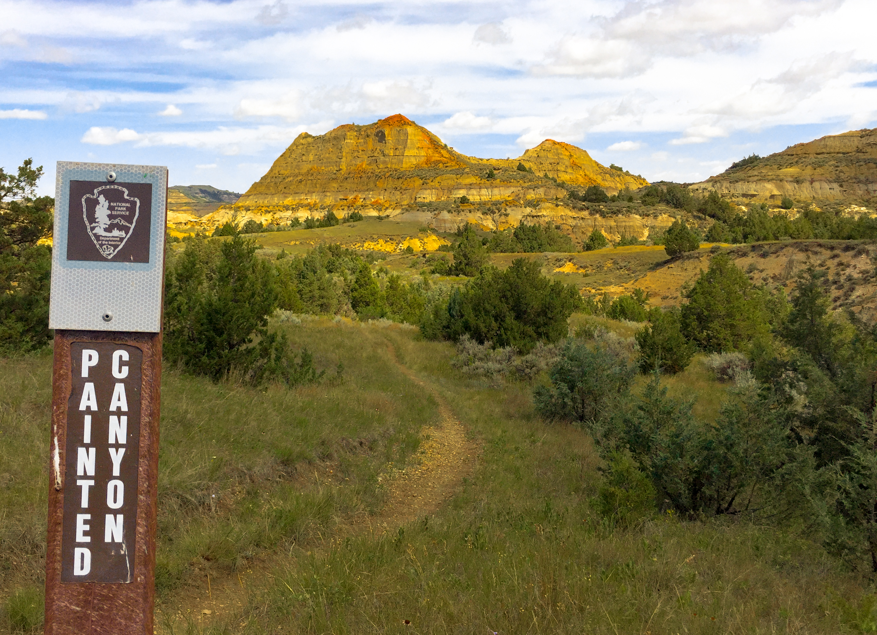
The descent seen at this stop is the beginning of the Painted Canyon Nature Trail! This quick 1-mile hike is a great introduction to the various habitat types that are not only present in this area but also the park as a whole. As you walk the beginning of the trail, you will see a late-stage habitat type in the park, the Rocky Mountain juniper woodland. Forests are by no means the dominant habitat in the park but still serve an important function in the ecosystem. Mainly found on the cooler north face of the buttes, the junipers slow the effect erosion can have on the slopes they grow on. Not only is it good for erosion prevention, but the juniper woodland also serves many purposes for the park’s wildlife. Elk prefer to reside in the woodlands to either escape the summer heat or take shelter from the cold winter winds. The berries produced by the junipers serve as a prominent food source for several bird species in the park as well. As you reach the bottom of the trail you will be presented with the most abundant habitat in Theodore Roosevelt National Park, the grassland. Despite their very monotonous appearance, the grassland hosts a vast diversity of plants and animals. The numerous native grasses serve as a food source to many animals in the park, including bison, horses, elk, mule deer, prairie dogs, and a rich array of insects. The animals that rely on the grasses in turn attract predators. Animals such as badgers, coyotes, hawks, and eagles find a consistent food source in prairie dogs. Birds such as flycatchers and swallows’ prey on the insect species supported by the grass. The grasslands have some woodier species such as sagebrush and wild rose interspersed throughout them as well. The grassland serves as one of the most important ecosystems in the park. Along the latter half of this loop trail you will also see a water-based ecosystem, known as seeps. As rain falls, much of it will soak or filter into the ground. Eventually, the ground has no more room for this water, meaning the ground is saturated. Saturated soil has nowhere for the rainwater to go, meaning the water will now “seep” on to the surface. A wide variety of wildlife, such as bison, horses, elk, and birds, drink from these water sources. They are essential for survival in a semi-arid land. Springs, seeps, and the waterways they feed may also provide conditions suitable for plants that have higher water requirements for survival. The amount of water present can determine how much water is visible from a seep. If it is dry enough the seep may have no visible surface water!
 Painted Canyon Loop TrailHikingPhoto: daveynin, CC BY 2.0 (via Flickr)0.1 mi
 Painted Canyon TrailHiking0.1 mi
 Coal Vein Trail Post 9: ClinkerHikingPhoto: NPS Photo/L. Thomas2.1 mi
 Coal Vein Trail Post 10: Seasonal StreamHikingPhoto: NPS Photo/L. Eddy2.1 mi
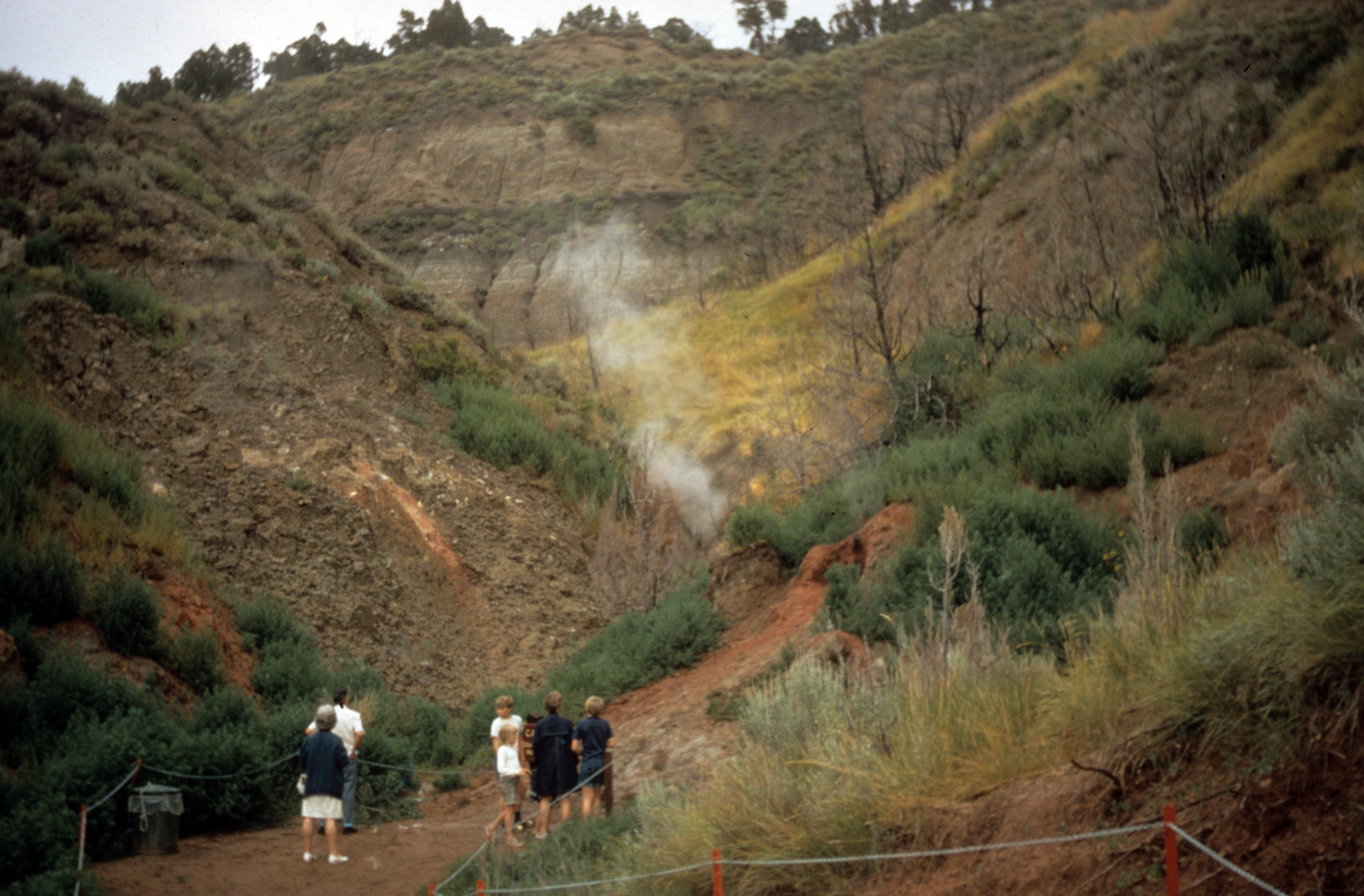 Coal Vein Trail Post 7: Burn OutHikingPhoto: NPS Photo2.1 mi
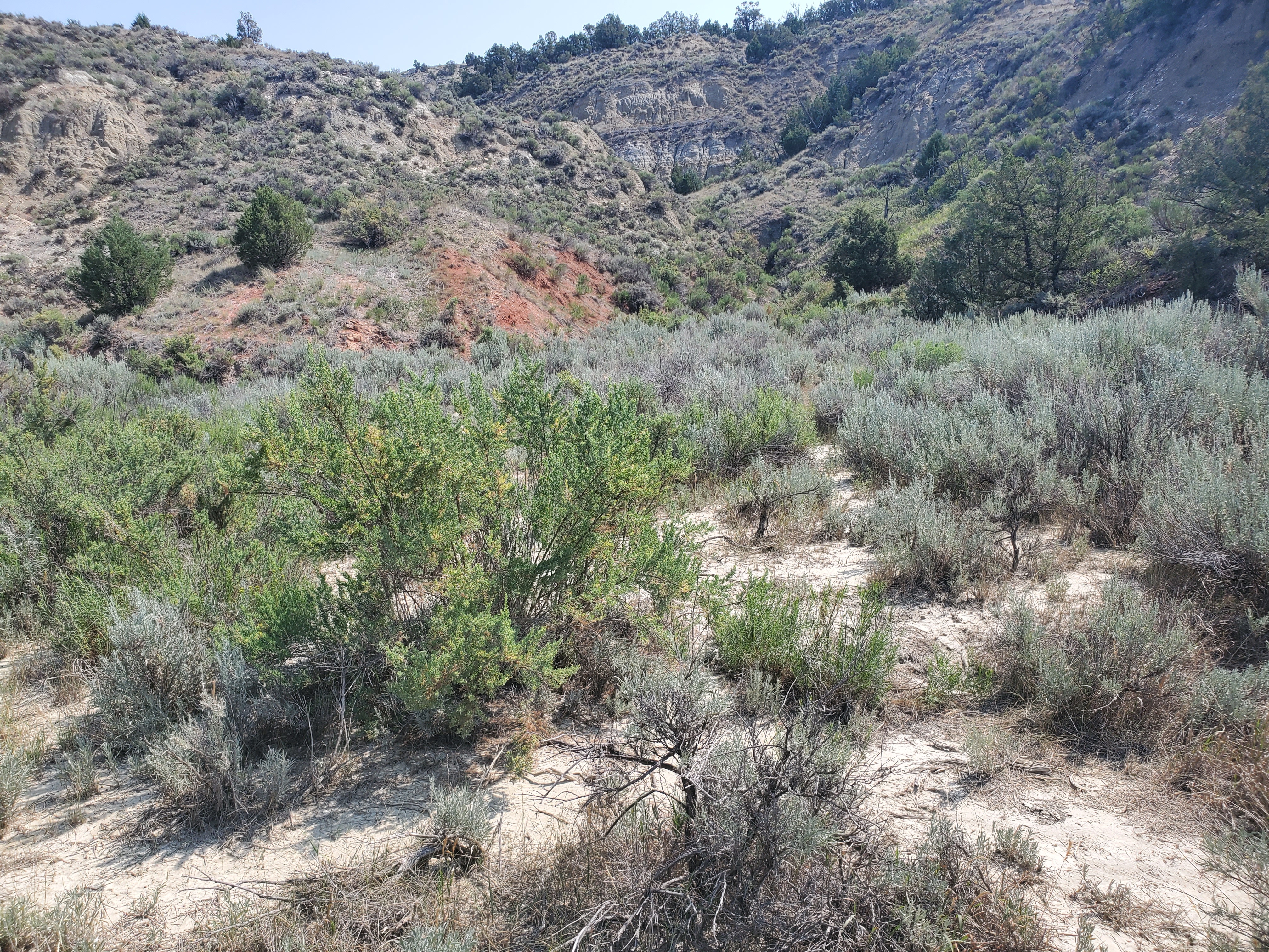 Coal Vein Trail Post 6: Seasonal PoolHikingPhoto: NPS Photo/L. Eddy2.1 mi
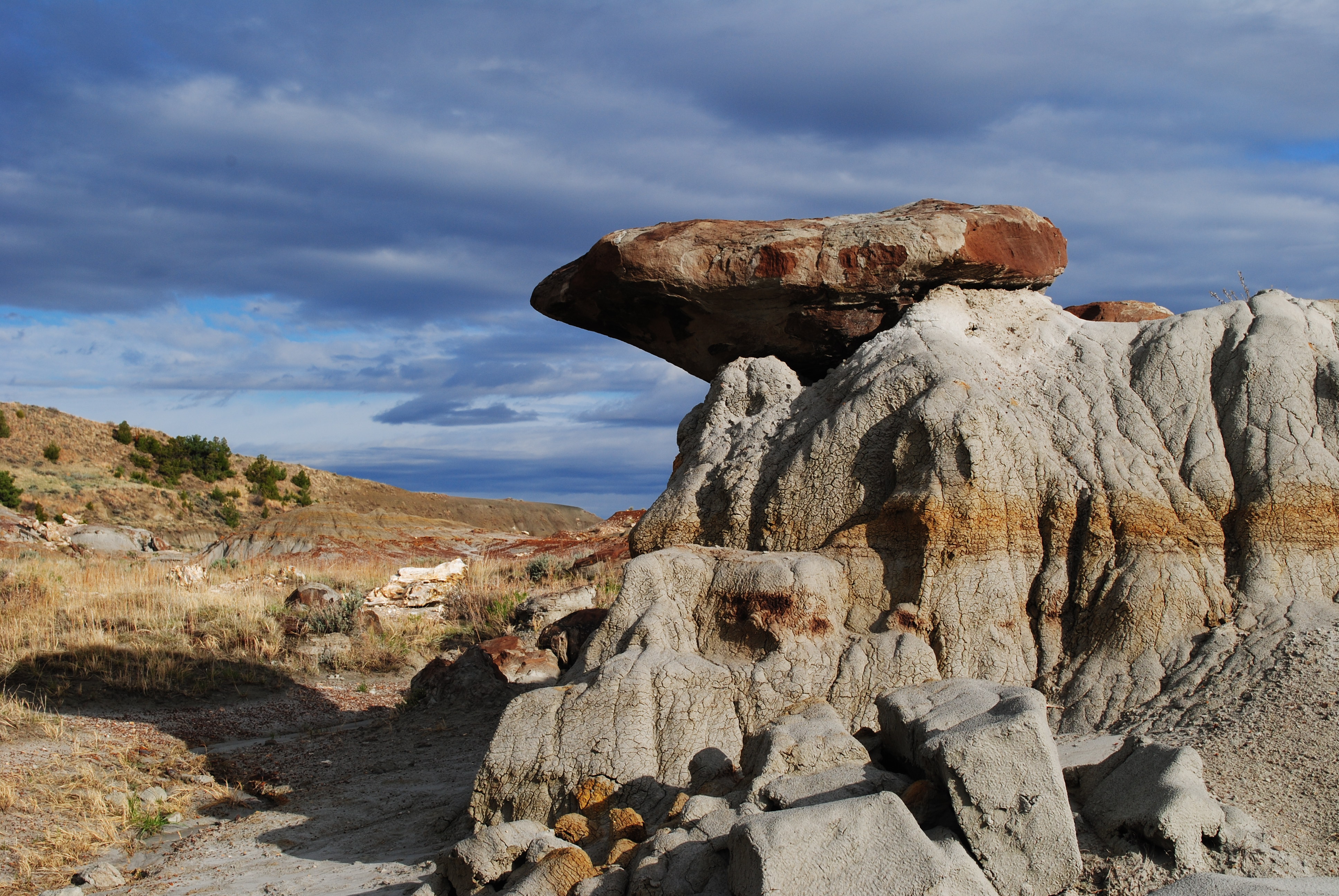 Coal Vein Trail Post 4: CaprocksHikingPhoto: NPS Photo/L. Thomas2.1 mi
- Little Missouri National GrasslandLake fishing6.8 mi
Source: Roamze catalog (indexable pages within 10 miles, PostGIS distance)
- Painted Canyon TrailHiking · Next door
 Upper Paddock Creek TrailHiking · ~6 min drivePhoto: Matt-Zimmerman, CC BY 2.0 (via Flickr)
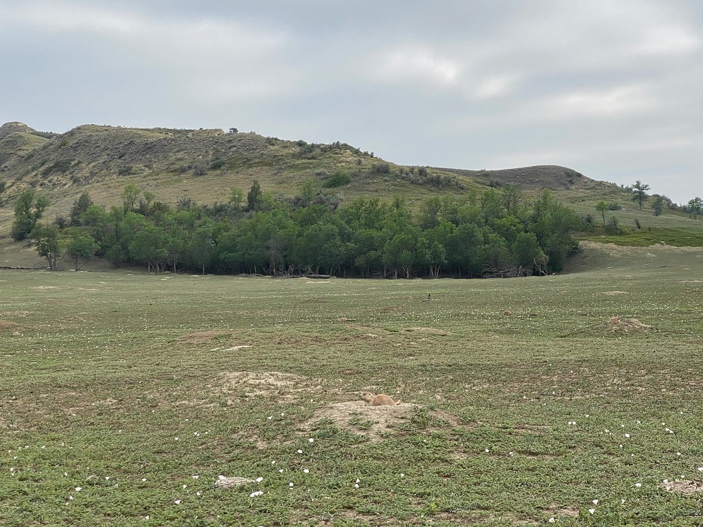 Lone Tree TrailHiking · ~12 min drivePhoto: daveynin, CC BY 2.0 (via Flickr)
 Maah Daah Hey TrailHiking · ~36 min drivePhoto: Forest Service - Northern Region, Public Domain Mark (via Flickr)
- Coal Vein Trail Post 9: ClinkerHiking · ~4 min drive
- Buffalo GapHiking · ~26 min drive
 Roundup Camp TrailHiking · ~15 min drivePhoto: Sharon Mollerus, CC BY 2.0 (via Flickr)
- Buffalo GapHiking · ~24 min drive
- Coal Vein Trail Post 10: Seasonal StreamHiking · ~4 min drive
- Upper Talkington TrailHiking · ~6 min drive
Best time to visit Painted Canyon Nature Trail
Best months: May–October. Best months have typical highs of 55–85 °F, lows of 30 °F or warmer (32 °F where the station doesn't record snow), at most one snowy day and no more than 12 wet days.
Jan
27° / 9°
8 wet
Feb
29° / 11°
8 wet
Mar
41° / 21°
8 wet
Apr
53° / 31°
8 wet
May
64° / 42°
12 wet
Jun
74° / 52°
12 wet
Jul
82° / 58°
9 wet
Aug
82° / 56°
8 wet
Sep
72° / 46°
7 wet
Oct
55° / 34°
8 wet
Nov
40° / 21°
7 wet
Dec
29° / 11°
8 wet
Typical high / low (°F) and days with rain or snow, 1991–2020. Measured at Medora 7 E, ND, 0.3 mi away at 2,771 ft. This station doesn't record snowfall. Source: NOAA NCEI U.S. Climate Normals 1991–2020.
