Beaver Pond Campsite
Campground
Campground · 2.8 mi from the trail
Tuxedo - Mt. Ivy Trail is a moderate hike of about 8.25 miles in Harriman State Park in New York, managed by State Park and Recreation. The route is a point-to-point trail, starting at roughly 1,100 feet and climbing to about 1,211 feet, with a total gain of 1,831 feet and a similar loss over the course of the trip. Late spring and early fall are the most comfortable times to go. Typical averages from a nearby weather station show May highs around 70°F and September highs around 74°F, with July the warmest month at about 83°F. That station sits about 540 feet lower than the trail's high point, so temperatures on the higher ground run cooler. The trail is not open to bikes or horses. Several other routes lie close by, including the Red Arrow Trail about 0.3 miles away and the Many Swamp Trail about 0.7 miles away. Climbers can find Harriman State Park's climbing area about 2.6 miles off, and the Ramapo River offers fishing about 8.7 miles away.
Beaver Pond Campsite
Campground
Pies N Fries
Pizza restaurant
 If it rainsDaniel Case, CC BY-SA 3.0 · Wikimedia Commons
American Revolutionary War fort near West Point on the Hudson River
Places © OpenStreetMap contributors, Places © Overture Maps Foundation · Photos: Daniel Case, CC BY-SA 3.0 (commons)
More in Mount KiscoNot on Roamze yet. Their page has how to reach them.
Daily highs and lows, wind and the chance of precipitation at the summit and route start for the next 7 days, from the Open-Meteo model.
Source: Roamze catalog (indexable pages within 10 miles, PostGIS distance)
 Breakneck Mountain TrailHiking · ~2 min drivePhoto: christinejwarner, CC BY 2.0 (via Flickr)Breakneck Pond Loop TrailHiking · ~2 min drivePhoto: christinejwarner, CC BY 2.0 (via Flickr)
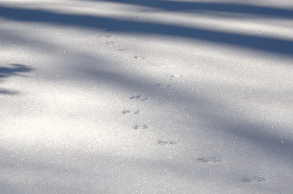 Red CrossHiking · ~7 min drivePhoto: jbylund, CC BY-SA 2.0 (via Flickr)
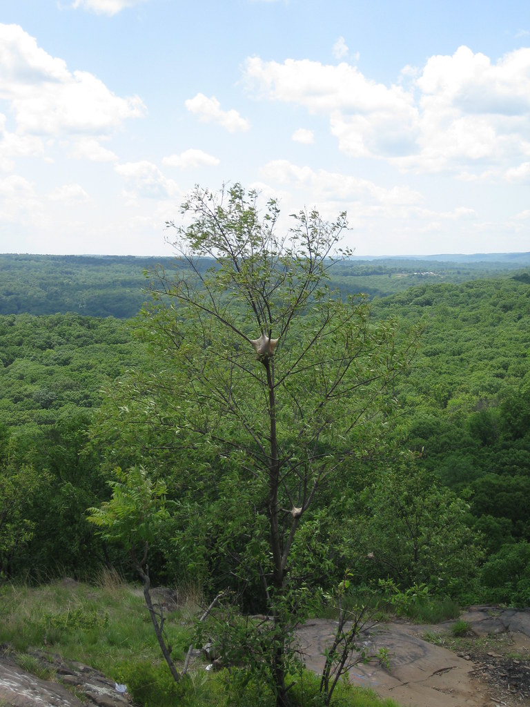 Long PathHiking · ~7 min drivePhoto: daveclausen, CC BY 2.0 (via Flickr)Old Turnpike TrailHiking · ~3 min drivePhoto: christinejwarner, CC BY 2.0 (via Flickr)
 Torne Valley RoadHiking · ~6 min drivePhoto: billybergen, CC BY 2.0 (via Flickr)Conklins Crossing TrailHiking · ~4 min drivePhoto: billybergen, CC BY 2.0 (via Flickr)
 Victory TrailHiking · ~7 min drivePhoto: ke9tv, CC BY-SA 2.0 (via Flickr)
Best months: April–October. Best months have typical highs of 55–85 °F, lows of 30 °F or warmer (32 °F where the station doesn't record snow), at most one snowy day and no more than 12 wet days.
Jan
35° / 17°
11 wet
Feb
39° / 18°
9 wet
Mar
47° / 25°
10 wet
Apr
60° / 36°
11 wet
May
70° / 46°
12 wet
Jun
78° / 55°
11 wet
Jul
83° / 61°
10 wet
Aug
81° / 59°
10 wet
Sep
74° / 52°
9 wet
Oct
63° / 41°
10 wet
Nov
51° / 31°
9 wet
Dec
41° / 23°
11 wet
Typical high / low (°F) and days with rain or snow, 1991–2020. Measured at Yorktown Hts 1w, NY, 15.7 mi away at 670 ft. The station sits about 500 ft lower than this place, so expect it a little cooler here. This station doesn't record snowfall. Source: NOAA NCEI U.S. Climate Normals 1991–2020.
About 8.3 mi.
About 1,831 ft of climbing round trip.
It is rated moderate.
About 3.5 hours round trip.
3: Pine Meadow Road, Tuxedo - Mt. Ivy Trail and Tuxedo-Mtn Ivy.
Map and trail data © OpenStreetMap contributors
