Long Path
New York
No account needed. We'll keep it on this device.
349.9 mi
Distance
We don't cover this trail yet
No agency boundary, access route or field report is mapped to it — so there is no verdict, and we won't guess. We'll tell you the moment this trail has something to say.
Covered nearby
Trails within 25 miles where we do have a current picture.
Nobody's filed a report here yet — be the first.
Why you'll love it
Here's your day, mapped
Long Path
Suggested plan · check conditions before you go
Want dates, gear and meals worked out too?
Meals
Gear for the day
Elevation & route
- Distance
- 349.9 mi
- Highest point
- 4,184 ft
- Lowest point
- 230 ft
Photos
Directions & GPX
Permits & access
- Bikes
- no
About this trail
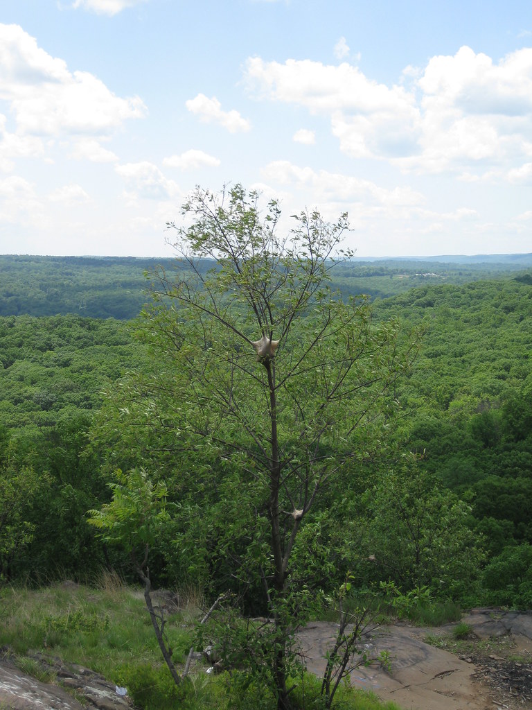
The Long Path is New York's premier long-distance hiking trail, stretching nearly 350 miles from the George Washington Bridge in Manhattan northward through the Hudson Valley and Catskill Mountains to the Delaware County town of Windham. This point-to-point route traverses diverse terrain including ridgelines, river valleys, and mountain passes, offering hikers an epic multi-day or thru-hiking adventure through some of New York's most scenic landscapes. The trail connects numerous state parks and wild areas, showcasing the natural diversity of the Hudson Valley and Catskill regions.
Add to a trip & share
Keep exploring — more trails worth the drive
 Photo: New York Public Library, No restrictions (via Wikimedia Commons)
Long Path
~6 min drive
11.96-mile out-and-back trail in New York with 3,053 ft gain/loss
 Photo: christinejwarner, CC BY 2.0 (via Flickr)
Old Turnpike Trail
~8 min drive
4.02-mile out-and-back hike in New York with 801 ft elevation gain and loss.
 Photo: Mary P Madigan, CC BY 2.0 (via Flickr)
Rockland Lake Jogging and Bike Path
~10 min drive
4.38-mile out-and-back jog/bike path around Rockland Lake in New York
Photo: christinejwarner, CC BY 2.0 (via Flickr)Breakneck Mountain Trail
~8 min drive
1.36-mile point-to-point trail in New York with 133 ft gain
 Photo: New York Public Library, No restrictions (via Wikimedia Commons)
Pines
~8 min drive
1.95-mile out-and-back trail in New York with 485 ft of elevation gain.
 Photo: jbylund, CC BY-SA 2.0 (via Flickr)
Red Cross
~10 min drive
7.42-mile out-and-back trail in New York with 1,152 ft elevation gain
Tuxedo-Mtn Ivy
~6 min drive
8.26-mile out-and-back trail in New York with 1,340 ft gain.
 Photo: Schezar, CC BY 2.0 (via Flickr)
Flaggy Meadow Mountain
~9 min drive
1.26-mile out-and-back trail in New York with 440 ft elevation gain
Photo: New York Public Library, No restrictions (via Wikimedia Commons)1779 Trail
~9 min drive
6.76-mile point-to-point trail with historical significance in New York.
Photo: New York Public Library, No restrictions (via Wikimedia Commons)Beechy Bottom Road
~10 min drive
2.96-mile out-and-back trail in New York with 569 ft gain.
Map and trail data © OpenStreetMap contributors
