ACA Camp
Campground
Campground · 2.3 mi from the trail
 Photo: billybergen, CC BY 2.0 (via Flickr)
Conklins Crossing Trail is a short, easy hike in Harriman State Park in New York, managed by State Park and Recreation. The trail is 0.6 miles long and rises about 132 feet from its low point of 989 feet to a high of 1116 feet. The climb is back-loaded, with the steepest stretch at about 0.43 miles, where the grade reaches 11 percent. The most comfortable months for a visit are typically late spring and early fall. Typical averages from a nearby weather station at Wanaque Raymond Dam, New Jersey, show May highs around 71°F and September highs around 76°F, though that station sits well below the trail, so temperatures on the higher ground run cooler. The hike takes about half an hour. Pine Meadow Road East is 0.3 miles away, and Sherwood Path and Mountain Trail are both within a mile. Climbers can find the Jersey Volunteers area about 3 miles off.
ACA Camp
Campground
 If it rainsLithium6ion, CC0 · Wikimedia Commons
Erie Railroad Signal Tower, Waldwick Yard
Museum
Signal box in New Jersey, United States of America
Places © OpenStreetMap contributors · Photos: Lithium6ion, CC0 (commons)
More in Mount KiscoNot on Roamze yet. Their page has how to reach them.
Best months: April–October. Best months have typical highs of 55–85 °F, lows of 30 °F or warmer (32 °F where the station doesn't record snow), at most one snowy day and no more than 12 wet days.
Jan
38° / 20°
10 wet
Feb
40° / 20°
8 wet
Mar
48° / 29°
10 wet
Apr
59° / 39°
11 wet
May
71° / 50°
12 wet
Jun
79° / 58°
11 wet
Jul
84° / 64°
10 wet
Aug
83° / 63°
10 wet
Sep
76° / 56°
8 wet
Oct
64° / 43°
9 wet
Nov
53° / 35°
8 wet
Dec
43° / 27°
9 wet
Typical high / low (°F) and days with rain or snow, 1991–2020. Measured at Wanaque Raymond Dam, NJ, 12.8 mi away at 245 ft. The station sits about 900 ft lower than this place, so expect it a little cooler here. This station doesn't record snowfall. Source: NOAA NCEI U.S. Climate Normals 1991–2020.
Photo: billybergen, CC BY 2.0 (via Flickr)Diamond Mtn Tower
~2 min drive
Diamond Mtn Tower is a 0.74-mile out-and-back trail in New York with 485 ft of elevation gain.
Photo: billybergen, CC BY 2.0 (via Flickr)Torne Valley Road
~2 min drive
1.77-mile out-and-back trail in New York with 288 ft gain and 755 ft loss.
 Photo: New York Public Library, No restrictions (via Wikimedia Commons)
Seven Hills
~5 min drive
6.09-mile out-and-back trail in New York with 1,541 ft elevation gain
HIKE
Ramapo Dunderberg Trail
~7 min drive
Challenging 15-mile point-to-point ridge hike through New York's Ramapo Mountains.
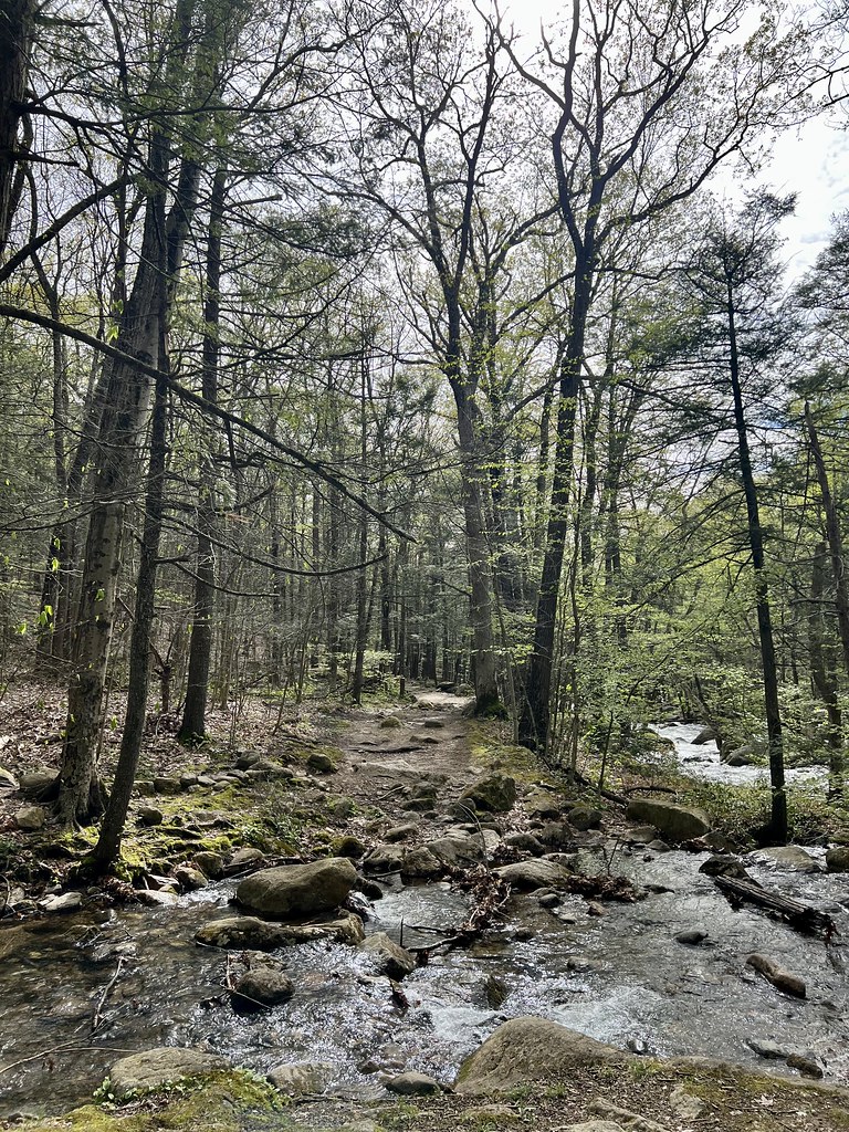 Photo: christinejwarner, CC BY 2.0 (via Flickr)
Reeves Brook Trail
~4 min drive
1.55-mile point-to-point trail in New York with 689 ft elevation loss
Photo: christinejwarner, CC BY 2.0 (via Flickr)Raccoon Brook Hills Trail
~4 min drive
A 2.6-mile point-to-point woodland hike through New York's Raccoon Brook Hills.
HIKE
Tuxedo-Mtn Ivy
~4 min drive
8.26-mile out-and-back trail in New York with 1,340 ft gain.
HIKE
Suffern-Bear Mountain
~7 min drive
18.32-mile out-and-back trail in New York with 3,216 ft gain
Photo: christinejwarner, CC BY 2.0 (via Flickr)Stony Brook
~4 min drive
1.85-mile point-to-point trail in New York with 522 ft gain
Photo: New York Public Library, No restrictions (via Wikimedia Commons)7 Hills Trail
~5 min drive
Point-to-point trail crossing seven hilltops with varied terrain and elevation.
Map and trail data © OpenStreetMap contributors
