Site 1
Campground
Campground · 0.1 mi from the trail
 Photo: Andy Arthur, CC BY 2.0 (via Wikimedia Commons)
Boreas Loop Trail is a 1.84-mile hike in the Vanderwhacker Mountain Wild Forest in northern New York, managed by the State Department of Conservation. The trail is an out-and-back route that starts at an elevation of about 1,636 feet and reaches a high point of roughly 1,715 feet before returning. The climb is steady, with a total gain of 673 feet, and the steepest stretch comes around the 1.3-mile mark at about a 7% grade. Summer is the most comfortable time to go. Typical July averages from the nearby Newcomb weather station run to highs around 77°F and lows near 53°F, while winter highs there stay below freezing from December through February. Several other trails lie close by. Lindsey Marsh trail is about a mile away, Roosevelt Truck Trail is about 1.6 miles off, and Hewitt Pond Trail is about 2 miles away. Climbers can find the G: Indian Lake Region climbing area roughly 8.4 miles from the trail.
Site 1
Campground
Schroon Lake view
Viewpoint
Places © OpenStreetMap contributors, Places © Overture Maps Foundation
More in Schroon LakeNot on Roamze yet. Their page has how to reach them.
Lindsey Marsh trailHikingPhoto: Andy Arthur, CC BY 2.0 (via Wikimedia Commons)1 mi Roosevelt Truck TrailHikingPhoto: Andy Arthur, CC BY 2.0 (via Wikimedia Commons)1.6 mi
Source: Roamze catalog (indexable pages within 10 miles, PostGIS distance)
Lindsey Marsh trailHiking · ~2 min drivePhoto: Andy Arthur, CC BY 2.0 (via Wikimedia Commons)Roosevelt Truck TrailHiking · ~3 min drivePhoto: Andy Arthur, CC BY 2.0 (via Wikimedia Commons) Raymond Brook Ski TrailHiking · ~22 min drivePhoto: Russ Nelson, CC BY-SA 2.0 (via Flickr)
 Blue Ledges TrailHiking · ~11 min drivePhoto: andyarthur, CC BY 2.0 (via Flickr)
 Vanderwhacker TrailHiking · ~4 min drivePhoto: andyarthur, CC BY 2.0 (via Flickr)
 Peaked Mountain TrailHiking · ~24 min drivePhoto: USDAgov, Public Domain Mark (via Flickr)
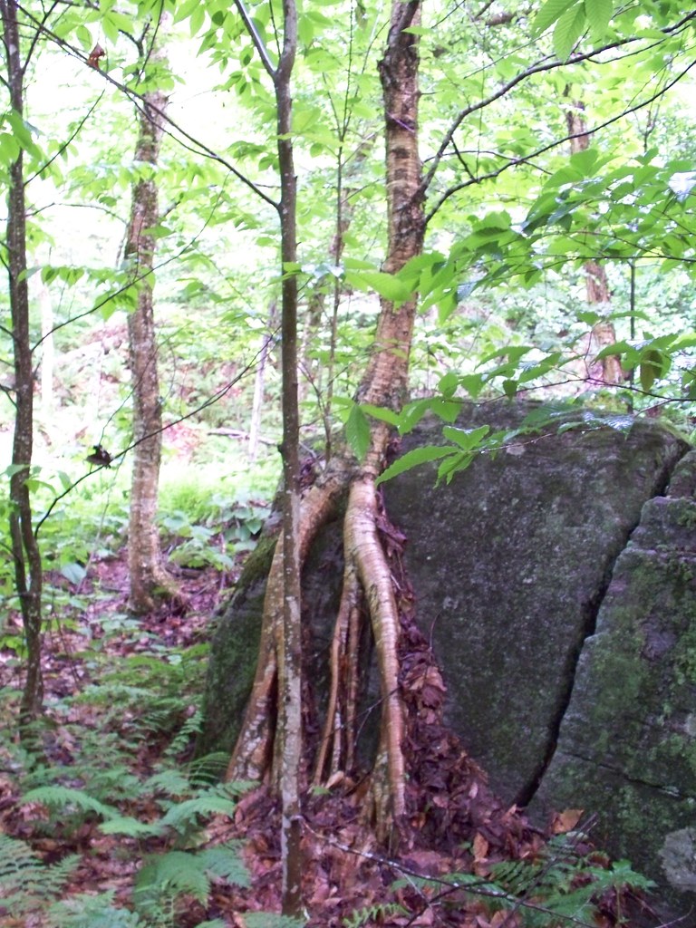 Stony Pond TrailHiking · ~7 min drivePhoto: Jacob Honeyhume, CC BY-SA 2.0 (via Flickr)
 Hammond Pond Wild Forest TrailHiking · ~24 min drivePhoto: Idawriter, CC BY-SA 3.0 (via Wikimedia Commons)
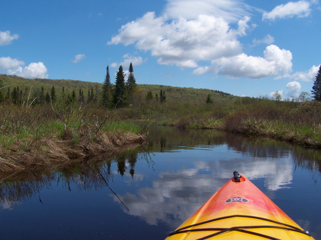 Wolf Pond TrailHiking · ~8 min drivePhoto: andyarthur, CC BY 2.0 (via Flickr)
Best months: August–September. Best months have typical highs of 55–85 °F, lows of 30 °F or warmer (32 °F where the station doesn't record snow), at most one snowy day and no more than 12 wet days.
Jan
26° / 4°
17 wet
Feb
29° / 4°
13 wet
Mar
37° / 13°
13 wet
Apr
50° / 27°
12 wet
May
64° / 39°
13 wet
Jun
72° / 49°
13 wet
Jul
77° / 53°
13 wet
Aug
74° / 52°
12 wet
Sep
67° / 44°
11 wet
Oct
54° / 34°
14 wet
Nov
41° / 24°
14 wet
Dec
31° / 12°
16 wet
Typical high / low (°F) and days with rain or snow, 1991–2020. Measured at Newcomb, NY, 11.7 mi away at 1,647 ft. This station doesn't record snowfall. Source: NOAA NCEI U.S. Climate Normals 1991–2020.
Map and trail data © OpenStreetMap contributors
