Hiking in New York
2,610 spots1 townUpdated weeklyFree to access
View on mapHiking · 200 spots
Featured spots
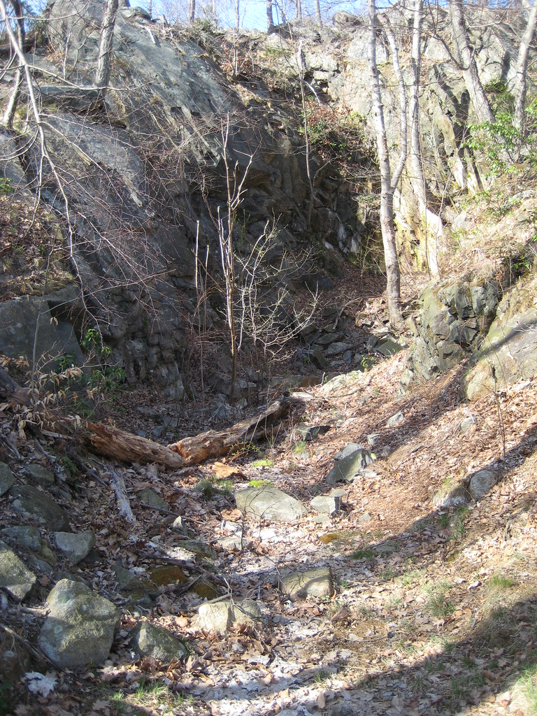
Photo: Russ Nelson, CC BY-SA 2.0 (via Flickr)Point to pointHiking
1777 Trail
New York
 Photo: paramsach, CC BY 2.0 (via Flickr)Point to point
Hiking
1777 W Trail
New York
 Photo: William J Sisti from Morristown, NJ, USA, CC BY-SA 2.0 (via Wikimedia Commons)Out & back
Hiking
1777 West Trail
New York
 Photo: New York Public Library, No restrictions (via Wikimedia Commons)Point to point
Hiking
1779 Trail
New York
 Photo: New York Public Library, No restrictions (via Wikimedia Commons)Point to point
Hiking
7 Hills Trail
New York
All spots · 200 of 2,610 spots
 Out & back
Hiking
(Proposed) Cliff Ridge Trail
New York
 Out & back
Hiking
(unmaintained trail)
New York
 Out & back
Hiking
1/2 Mile Trail
New York
 Loop
Hiking
10-Yellow Trail
New York
LoopHiking
11-Yellow Trail
New York
Point to pointHiking
1825 Erie Canal Towpath
New York
 Out & back
Hiking
440 Ridge
New York
LoopHiking
5-Red Trail
New York
 Out & back
Hiking
7-Blue Trail
New York
 Out & back
Hiking
9-Blue Trail
New York
Out & backHiking
9Th Line
New York
Out & backHiking
A Trail
New York
Point to pointHiking
A.W. Weld Trail
New York
 Photo: javajoe6, CC BY-SA 3.0 (via Wikimedia Commons)Point to point
Hiking
Abbott Loop
New York
Point to pointHiking
Abraham's Pond Trail
New York
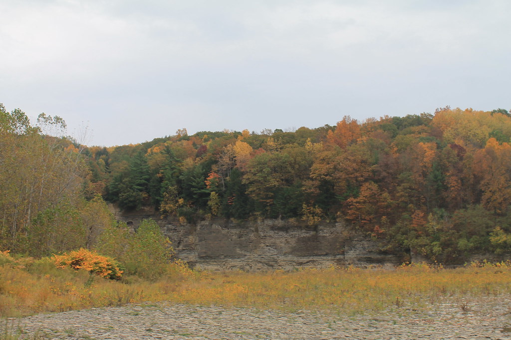 Photo: andyarthur, CC BY 2.0 (via Flickr)Out & back
Hiking
Access Trail G
New York
 Photo: MichaelTutton, CC BY 2.0 (via Flickr)Out & back
Hiking
Accessible Trail
New York
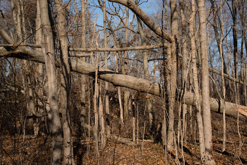 Photo: _jg_, CC BY 2.0 (via Flickr)Out & back
Hiking
Adam D Rand Memorial Trail
New York
Out & backHiking
Adirondack Rail Trail
New York
Out & backHiking
Adirondack Rail Trail
New York
Out & backHiking
Adirondack Rail Trail
New York
 Photo: andyarthur, CC BY 2.0 (via Flickr)Out & back
Hiking
Adirondack Rail Trail
New York
 Photo: New York Public Library, No restrictions (via Wikimedia Commons)Out & back
Hiking
Adirondack Rail Trail
New York
 Photo: Patrick DeYear, CC BY 3.0 (via Wikimedia Commons)Out & back
Hiking
Adirondack Rail Trail
New York
Keep exploring — more trails worth the drive
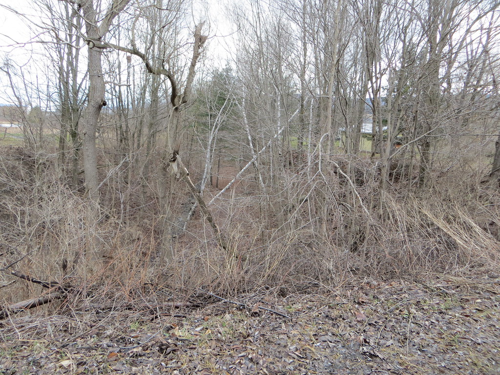 Photo: Russ Nelson, CC BY-SA 2.0 (via Flickr)
Orange Trail
~30 min drive
1.56-mile loop in New York with 277 ft elevation gain
 Photo: Schezar, CC BY 2.0 (via Flickr)
Erie Canalway Trail (Little Falls to Canajoharie)
~33 min drive
18.71-mile point-to-point Erie Canalway Trail from Little Falls to Canajoharie in New York.
 Photo: Dougtone, CC BY-SA 2.0 (via Wikimedia Commons)
Yellow Trail
~51 min drive
1.43-mile point-to-point hike in New York with 530 ft gain and 689 ft loss.
Photo: Schezar, CC BY 2.0 (via Flickr)Erie Canalway Trail (Frankfort to Little Falls)
~33 min drive
10.86-mile point-to-point trail from Frankfort to Little Falls on the Erie Canalway.
HIKE
Catskill Scenic Trail
~50 min drive
10.6-mile out-and-back trail in New York with 694 ft elevation gain.
 Photo: Russ Nelson, CC BY-SA 2.0 (via Flickr)
Fonda, Johnstown and Gloversville Rail Trail
~1h 3m drive
5.8-mile out-and-back rail trail in New York with 666 ft elevation gain/loss
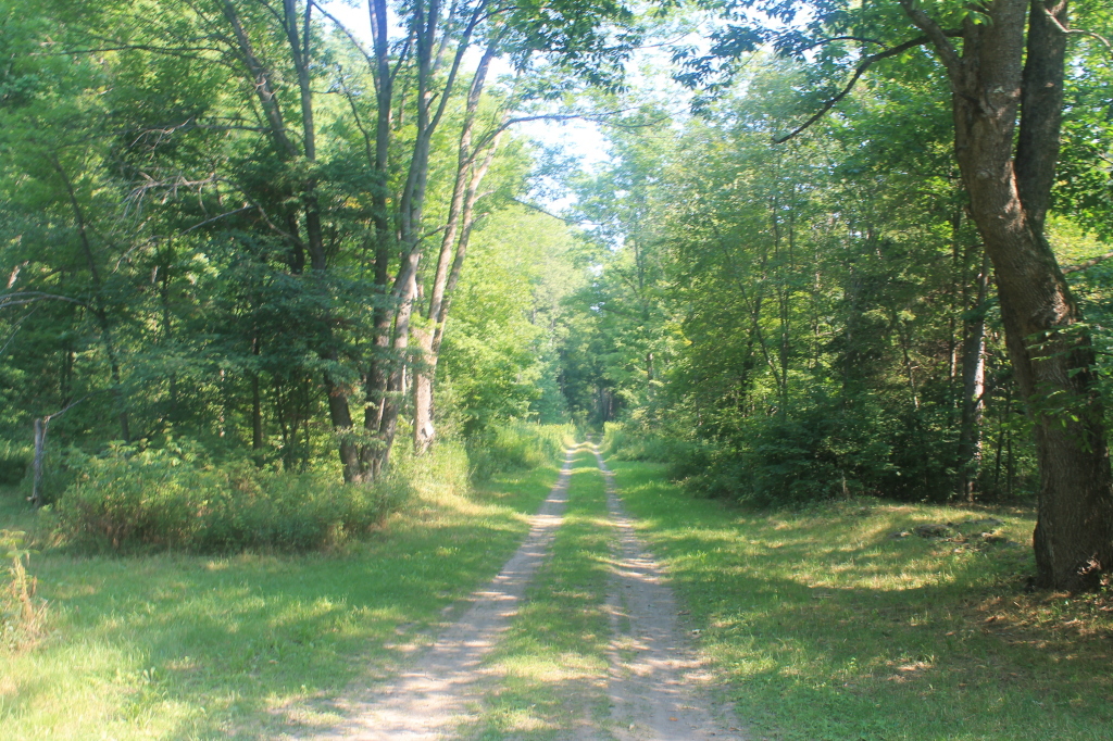 Photo: andyarthur, CC BY 2.0 (via Flickr)
Nys Truck Trail
~39 min drive
3.46-mile out-and-back trail in New York with 664 ft elevation gain
HIKE
Erie Canalway Trail (Utica to Frankfort)
~52 min drive
11.71-mile point-to-point trail from Utica to Frankfort on the Erie Canalway.
HIKE
Catskill Scenic Trail
~47 min drive
6.86-mile out-and-back trail in New York with 549 ft elevation gain.
 Photo: andyarthur, CC BY 2.0 (via Flickr)
Yellow Trail
~40 min drive
2.1-mile out-and-back hike in New York with 531 ft gain/loss
HIKE
Burnt Valley Trail
~55 min drive
6.72-mile out-and-back hike in New York with 968 ft elevation gain.
HIKE
Catskill Scenic Trail
~48 min drive
6.16-mile out-and-back hike in New York with 305 ft elevation gain
Also worth it near here
 Photo: 420Traveler, CC BY-SA 4.0 (via Wikimedia Commons)
Mount Wellington
~6 min drive
 Photo: Cooley, A. A. -- Photographer, Public domain (via Wikimedia Commons)
Leatherstocking Falls
~6 min drive
BED
Cooperstown Shadow Brook Campground
~7 min drive
 Photo: 420Traveler, CC BY-SA 4.0 (via Wikimedia Commons)
Cherry Valley Creek
~7 min drive
SEE
Fish Road Boat Launch
~9 min drive
