Orange Trail
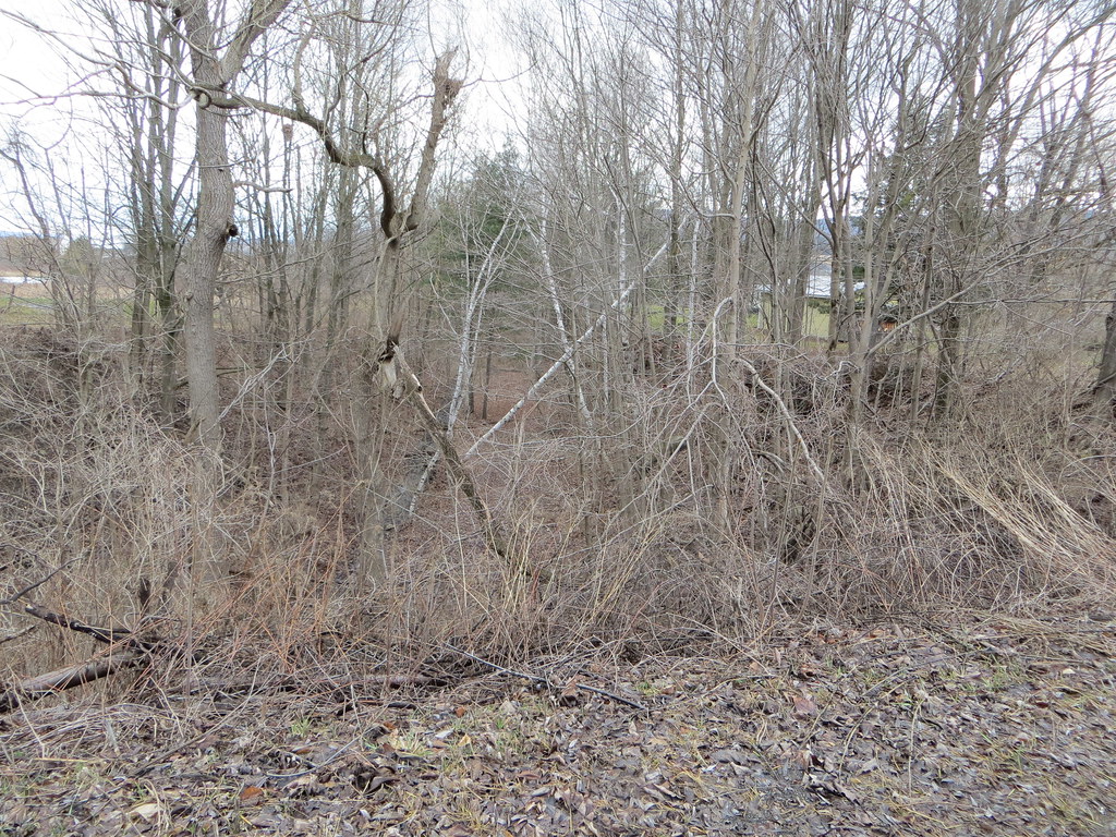 Photo: Russ Nelson, CC BY-SA 2.0 (via Flickr)
- 1.6 mi
- loop
- 277 ft
- climb
- 1,743 ft
- high point
- Loop
- route
- Apr, Jul–Sep
- best months
Orange Trail is an easy loop hike in New York, about 1.6 miles long and roughly 1.6 miles from the small community of Lawyersville. The trail rises steadily from a starting elevation of about 1,664 feet to a high point of 1,743 feet, then descends back to nearly the same level, with a total elevation gain and loss of about 277 feet each way. The climb is most pronounced at about the 1.1-mile mark, where the grade reaches about 11 percent, so plan for a steady rather than steep ascent. The most comfortable stretch for a visit runs from June through September, when typical averages from a nearby weather station in Cobleskill put July highs around 80°F and September highs near 71°F. That station sits roughly 574 feet below the trail, so temperatures on the higher ground run a little cooler. Yellow Trail lies about 0.7 miles away, and Dodge Creek Path and Monkey Run Truck Trail are both within about 8 miles.
Local outfitters
- Catskill Outfitters44 mi away
Not on Roamze yet. Their page has how to reach them.
Source: Roamze catalog (indexable pages within 10 miles, PostGIS distance)
 Yellow TrailHiking · ~16 min drivePhoto: andyarthur, CC BY 2.0 (via Flickr)
 Yellow TrailHiking · ~29 min drivePhoto: Dougtone, CC BY-SA 2.0 (via Wikimedia Commons)
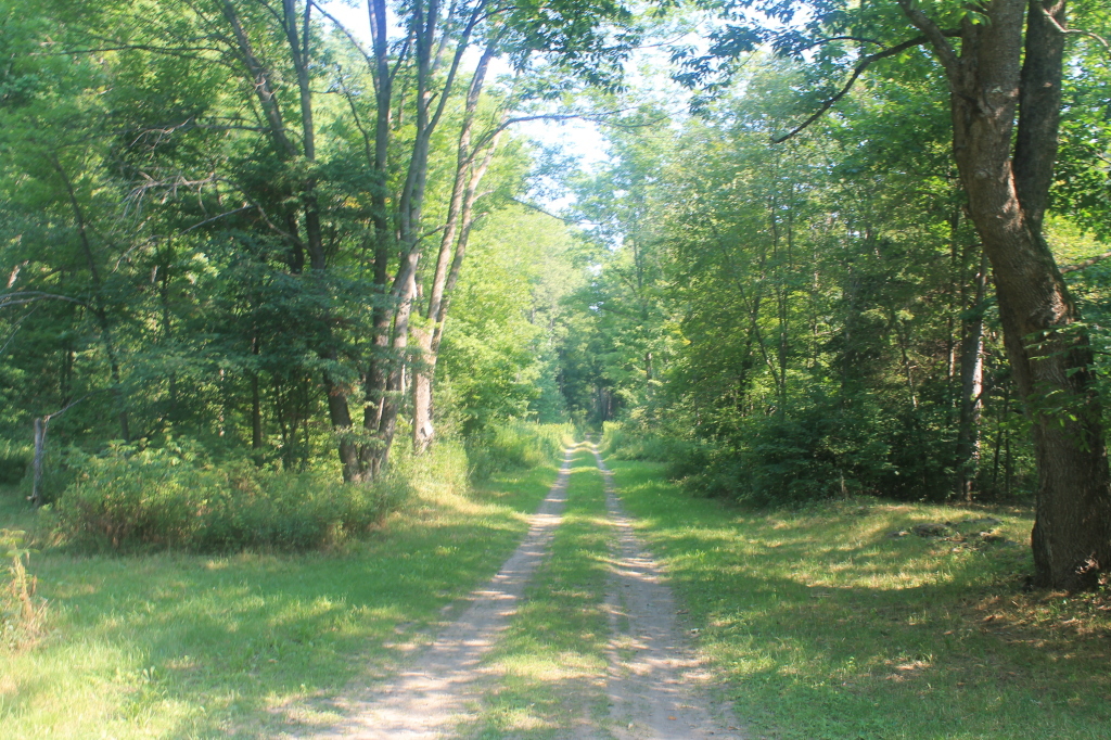 Nys Truck TrailHiking · ~19 min drivePhoto: andyarthur, CC BY 2.0 (via Flickr)
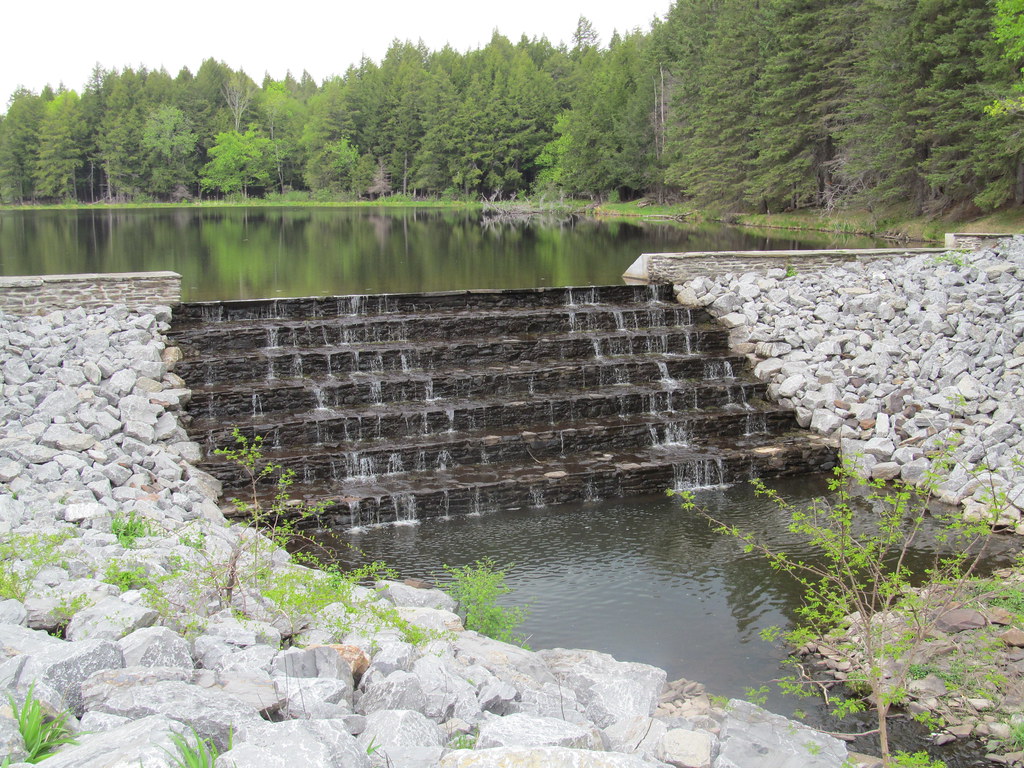 Lake TrailHiking · ~37 min drivePhoto: ke9tv, CC BY-SA 2.0 (via Flickr)
 Blue TrailHiking · ~28 min drivePhoto: Dougtone, CC BY-SA 2.0 (via Wikimedia Commons)
- Catskill Scenic TrailHiking · ~33 min drive
 Red TrailHiking · ~30 min drivePhoto: Dougtone, CC BY-SA 2.0 (via Wikimedia Commons)
- Yellow TrailHiking · ~35 min drive
- Orange TrailHiking · ~30 min drivePhoto: Dougtone, CC BY-SA 2.0 (via Wikimedia Commons)
- White TrailHiking · ~36 min drive
Best time to visit Orange Trail
Best months: April and July–September. Best months have typical highs of 55–85 °F, lows of 30 °F or warmer (32 °F where the station doesn't record snow), at most one snowy day and no more than 12 wet days.
Jan
31° / 12°
12 wet · 6 snow
Feb
33° / 13°
10 wet · 5 snow
Mar
41° / 21°
11 wet · 3 snow
Apr
55° / 32°
11 wet · 1 snow
May
67° / 44°
13 wet
Jun
75° / 54°
13 wet
Jul
80° / 58°
12 wet
Aug
78° / 57°
12 wet
Sep
71° / 49°
11 wet
Oct
59° / 38°
13 wet
Nov
46° / 29°
10 wet · 2 snow
Dec
36° / 20°
11 wet · 4 snow
Typical high / low (°F) and days with rain or snow, 1991–2020. Measured at Cobleskill 2 Ese, NY, 4.2 mi away at 1,169 ft. The station sits about 600 ft lower than this place, so expect it a little cooler here. Source: NOAA NCEI U.S. Climate Normals 1991–2020.


Map and trail data © OpenStreetMap contributors
