Fonda, Johnstown and Gloversville Rail Trail
 Photo: Russ Nelson, CC BY-SA 2.0 (via Flickr)
- 2.9 mi
- round trip
- 666 ft
- climb
- 923 ft
- high point
- Out and back
- route
- May–Sep
- best months
The Fonda, Johnstown and Gloversville Rail Trail is a 5.8-mile out-and-back hike in New York, about 0.6 miles from the community of Red Bunch Corners. The route rises steadily from a low point of 784 feet to a high of 923 feet, with a total climb of 666 feet and a steepest stretch of about 9% at 2.6 miles. The trail is rated moderate, and the round trip takes about 2.5 hours. Summer is the most comfortable time to go. Typical averages from a nearby weather station at Gloversville run to highs around 77°F in July, with lows near 56°F. That station sits about 532 feet higher than the trail, so temperatures on the route run a little warmer. Two other trails lie within easy reach. The Ski Trail (Blue) is about 5.4 miles away, and the Towpath Trail is about 9 miles away.
Source: Roamze catalog (indexable pages within 10 miles, PostGIS distance)
 Godfrey Road Spur TrailHiking · ~24 min drivePhoto: ke9tv, CC BY-SA 2.0 (via Flickr)
 Mohawk-Hudson Bike-Hike Trail (Hike)Hiking · ~33 min drivePhoto: Dougtone, CC BY-SA 2.0 (via Wikimedia Commons)
 Tenant Creek Falls trailHiking · ~33 min drivePhoto: Andy Arthur, CC BY 2.0 (via Wikimedia Commons)
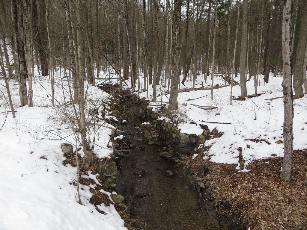 Creekside Trail (RED)Hiking · ~30 min drivePhoto: Russ Nelson, CC BY-SA 2.0 (via Flickr)
- Burnt Valley TrailHiking · ~29 min drive
- Erie Canalway Trail (Amsterdam to Schenectady)Hiking · ~18 min drive
- Railway Trail (BLUE)Hiking · ~30 min drivePhoto: Russ Nelson, CC BY-SA 2.0 (via Flickr)
- Long Lake TrailHiking · ~32 min drive
 Blue TrailHiking · ~30 min drivePhoto: Dougtone, CC BY-SA 2.0 (via Wikimedia Commons)
- Yellow TrailHiking · ~33 min drive
Best time to visit Fonda, Johnstown and Gloversville Rail Trail
Best months: May–September. Best months have typical highs of 55–85 °F, lows of 30 °F or warmer (32 °F where the station doesn't record snow), at most one snowy day and no more than 12 wet days.
Jan
24° / 7°
Feb
27° / 8°
Mar
35° / 16°
Apr
48° / 29°
May
63° / 42°
Jun
72° / 52°
Jul
77° / 56°
Aug
73° / 54°
Sep
67° / 46°
Oct
53° / 36°
Nov
40° / 25°
Dec
30° / 16°
Typical high / low (°F) and days with rain or snow, 1991–2020. Measured at Gloversville 7nw (Peck Lake), NY, 8.3 mi away at 1,455 ft. The station sits about 500 ft higher than this place, so expect it a little warmer here. This station doesn't record snowfall. Source: NOAA NCEI U.S. Climate Normals 1991–2020.
Map and trail data © OpenStreetMap contributors
