Adirondack Rail Trail
 Photo: Patrick DeYear, CC BY 3.0 (via Wikimedia Commons)
- 1.1 mi
- round trip
- 333 ft
- climb
- 1,635 ft
- high point
- Out and back
- route
The Adirondack Rail Trail is an easy, out-and-back hike of about 2.2 miles in New York's Saranac Lakes Wild Forest. The State Department of Conservation manages the land, and the route starts at roughly 1,569 feet, reaching a high point of about 1,635 feet in the middle of the trail. That makes the total elevation gain about 333 feet, with the steepest stretch at about 0.83 miles in, where the grade reaches about 6%. Summer is the most comfortable time to go. Typical averages from a nearby weather station run from highs of about 72°F in June to about 77°F in July, with lows in the mid-40s to around 50°F. Winter is far colder, with January highs near 25°F and lows around 2°F. The trip takes about an hour, so it works well as a short outing. The trail sits within the Saranac Lakes Wild Forest, and the surrounding area offers plenty to pair with it. Lower Saranac Lake is about 3.7 miles away, and the Baker Mountain climbing area is a similar distance. For winter, the cross-country ski routes All Loops and Keough's K are both about 2.5 miles off.
Local outfitters
- Cloudsplitter Outfitters26 mi away
- Great Camp Sagamore46 mi away
Not on Roamze yet. Their page has how to reach them.
- All LoopsCross-country skiing2.5 mi
- Keough's KCross-country skiing2.5 mi
- PeanutsCross-country skiing2.5 mi
- Bluff IslandRock climbing3.6 mi
- Lower Saranac LakeLake fishing3.7 mi
- Baker MountainRock climbing3.7 mi
- Second Set BoulderRock climbing4.8 mi
- Floodwood Pond LoopCanoeing9.8 mi
Source: Roamze catalog (indexable pages within 10 miles, PostGIS distance)
 Cookie MonsterHiking · ~4 min drivePhoto: New York Public Library, No restrictions (via Wikimedia Commons)
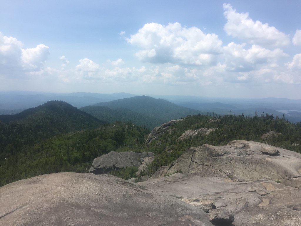 Ampersand Mountain TrailHiking · ~14 min drivePhoto: runJMrun — CC BY 2.0 (via Flickr)
- Jackrabbit TrailHiking · ~9 min drive
- East Side Snowshoe TrailHiking · ~5 min drivePhoto: New York Public Library, No restrictions (via Wikimedia Commons)
- Adirondack Rail TrailHiking · ~3 min drive
 Mumbly PegHiking · ~5 min drivePhoto: New York Public Library, No restrictions (via Wikimedia Commons)
- Baker Mountain TrailHiking · ~6 min drive
- Iron BillHiking · ~5 min drivePhoto: New York Public Library, No restrictions (via Wikimedia Commons)
- Bog TrailHiking · ~8 min drive
- West Side Snowshoe TrailHiking · ~5 min drivePhoto: New York Public Library, No restrictions (via Wikimedia Commons)
Best time to visit Adirondack Rail Trail
No month here meets our mild-weather rule. Best months have typical highs of 55–85 °F, lows of 30 °F or warmer (32 °F where the station doesn't record snow), at most one snowy day and no more than 12 wet days.
Jan
25° / 2°
15 wet
Feb
28° / 3°
13 wet
Mar
37° / 12°
14 wet
Apr
50° / 26°
15 wet
May
64° / 37°
16 wet
Jun
72° / 46°
16 wet
Jul
77° / 51°
16 wet
Aug
75° / 49°
16 wet
Sep
68° / 41°
14 wet
Oct
54° / 32°
16 wet
Nov
42° / 22°
16 wet
Dec
30° / 11°
17 wet
Typical high / low (°F) and days with rain or snow, 1991–2020. Measured at Saranac Rgnl Ap, NY, 3 mi away at 1,663 ft. This station doesn't record snowfall. Source: NOAA NCEI U.S. Climate Normals 1991–2020.
Map and trail data © OpenStreetMap contributors
