Adam D Rand Memorial Trail
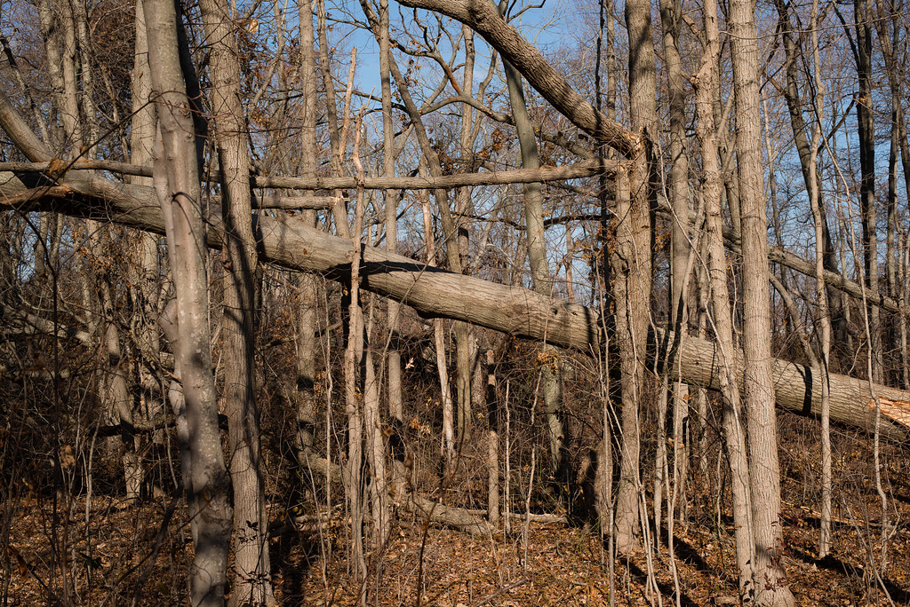 Photo: _jg_, CC BY 2.0 (via Flickr)
- 0.4 mi
- round trip
- 134 ft
- climb
- 52 ft
- high point
- Out and back
- route
- Apr–Nov
- best months
Adam D Rand Memorial Trail is a short, easy hike in Millpond County Park, a county park in New York, on land managed by county land. The route is about 0.43 miles long and is rated easy, with a total climb of 134 feet over a round trip of about 0.86 miles. The trail is a steady out-and-back, and the steepest stretch comes at about 0.29 miles, with a grade of about 5%. For comfortable weather, late spring and early fall are good bets. Typical averages from a nearby weather station show May highs around 70°F and September highs near 78°F, while July reaches about 85°F. Several other hikes sit within a couple of miles, including Cammann's Pond Path and the Southern Section, each about 1.9 miles away, and the Central Section at 2.1 miles. Paddlers can reach the South Shore Blueway, about 4.5 miles off.
Local outfitters
- Pier 13 Hoboken27 mi away
Not on Roamze yet. Their page has how to reach them.
- Cammann's Pond PathHiking1.9 mi
- Southern SectionHiking1.9 mi
 Central SectionHikingPhoto: falice2781, CC BY 3.0 (via Wikimedia Commons)2.1 mi
 Northern SectionHikingPhoto: falice2781, CC BY 3.0 (via Wikimedia Commons)2.3 mi
- South Shore BluewayCanoeing4.5 mi
- 1/2 Mile TrailHiking5.7 mi
- Red TrailHiking6.3 mi
- Yellow Red-Dot TrailHiking6.4 mi
Source: Roamze catalog (indexable pages within 10 miles, PostGIS distance)
- Central SectionHiking · ~4 min drivePhoto: falice2781, CC BY 3.0 (via Wikimedia Commons)
- Northern SectionHiking · ~4 min drivePhoto: falice2781, CC BY 3.0 (via Wikimedia Commons)
 Old Sierra Club LoopHiking · ~20 min drivePhoto: gingi0, CC BY 2.0 (via Flickr)
- CLIMB Black Trail "Purple Blazes"Hiking · ~20 min drivePhoto: gingi0, CC BY 2.0 (via Flickr)
 CLIMB Blue TrailHiking · ~21 min drivePhoto: Russ Nelson, CC BY-SA 2.0 (via Flickr)
- CLIMB Black Trail "Pink Blazes"Hiking · ~21 min drivePhoto: gingi0, CC BY 2.0 (via Flickr)
- CLIMB Black Trail "Orange Blazes"Hiking · ~21 min drivePhoto: Russ Nelson, CC BY-SA 2.0 (via Flickr)
 DucktrailHiking · ~22 min drivePhoto: terryballard, CC BY 2.0 (via Flickr)
- Canine LoopHiking · ~22 min drivePhoto: terryballard, CC BY 2.0 (via Flickr)
 Fitness TrailHiking · ~22 min drivePhoto: MarketMeSuite, CC BY 2.0 (via Flickr)
Best time to visit Adam D Rand Memorial Trail
Best months: April–November. Best months have typical highs of 55–85 °F, lows of 30 °F or warmer (32 °F where the station doesn't record snow), at most one snowy day and no more than 12 wet days.
Jan
42° / 27°
10 wet
Feb
44° / 29°
9 wet
Mar
50° / 35°
11 wet
Apr
60° / 43°
11 wet
May
70° / 53°
11 wet
Jun
79° / 63°
9 wet
Jul
85° / 69°
9 wet
Aug
84° / 68°
8 wet
Sep
78° / 61°
8 wet
Oct
67° / 50°
9 wet
Nov
56° / 40°
9 wet
Dec
47° / 33°
11 wet
Typical high / low (°F) and days with rain or snow, 1991–2020. Measured at Wantagh Cedar Creek, NY, 0.9 mi away at 10 ft. This station doesn't record snowfall. Source: NOAA NCEI U.S. Climate Normals 1991–2020.
Map and trail data © OpenStreetMap contributors
