West Fork Trail
- 1.9 mi
- round trip
- 1,512 ft
- climb
- 9,012 ft
- high point
- Out and back
- route
Caution today
Agency alerts are in effect for this area; weather is good · USFS, OpenWeather · checked 11 h ago
Is West Fork Trail open right now?
Alert in the area
The Forest Service lists an alert for Magdalena Ranger District.
Magdalena Ranger District Bear Trap Campground Closure Order #03-03-03-26-01
Agency alert covering Magdalena Ranger District · Order 03-03-03-26-01 · USFS · Magdalena Ranger District
As of · Source: USFS · Magdalena Ranger District. Agencies don't list every closure — check before you go.
West Fork Trail is a moderate, out-and-back hike in the Magdalena Ranger District of Cibola National Forest in northern New Mexico, about 2 miles from the Forest Service's town of Magdalena. The trail is roughly 3.8 miles long, with a one-way elevation gain of about 1,512 feet, starting at around 7,480 feet and climbing to about 9,012 feet at the high point. The route is a steady climb, so plan for a steady pace and pack enough water for the higher elevations. The trail is open year-round, and the Forest Service manages the land. Nearby, Hardy Ridge lies about 1.5 miles away and Hardy Spring about 2.2 miles. South Baldy Summit Trail is about 2.9 miles off, and Water Canyon Campground is about 6 miles away for an overnight stay.
Keep exploring — more trails worth the drive
 Photo: Matt Lavin, CC BY-SA 2.0 (via Flickr)
Timber Peak
~5 min drive
8.67-mile out-and-back to Timber Peak in New Mexico with 1,636 ft gain.
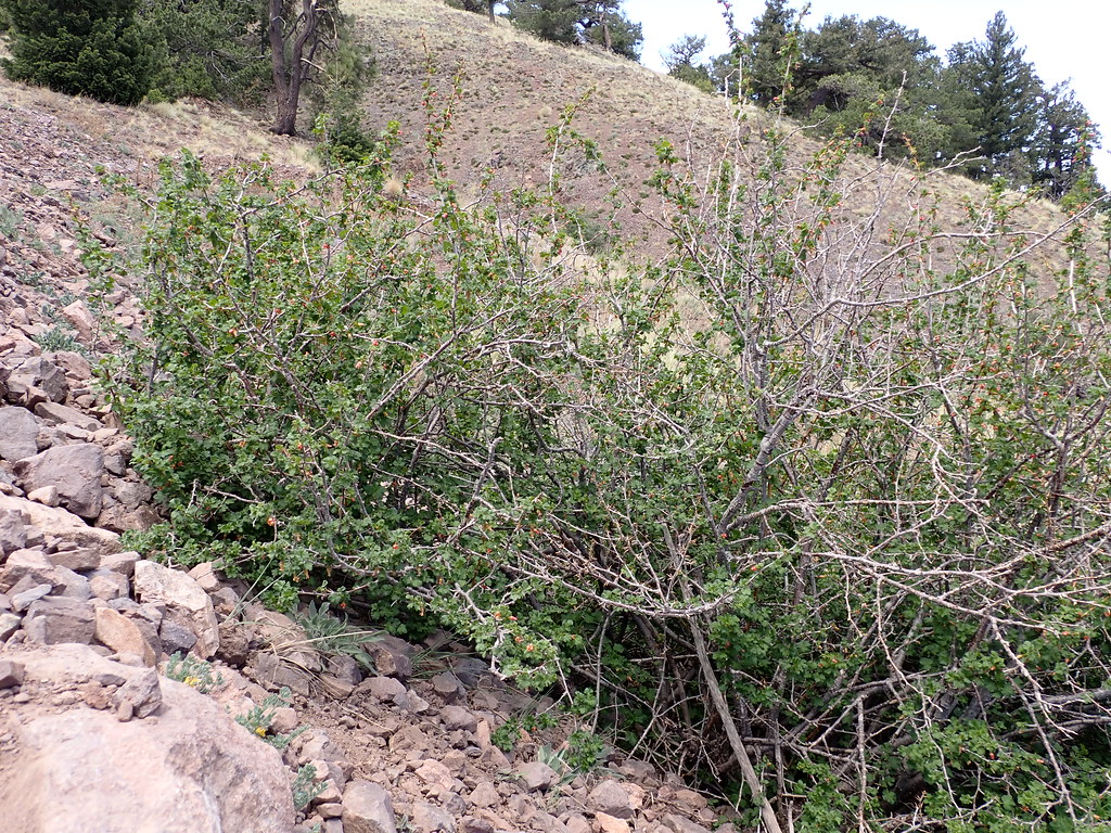 Photo: Matt Lavin, CC BY-SA 2.0 (via Flickr)
South Baldy
~6 min drive
5.84-mile out-and-back trail in New Mexico managed by the Forest Service.
Photo: Matt Lavin, CC BY-SA 2.0 (via Flickr)Water Canyon Road
~6 min drive
0.79-mile out-and-back trail in New Mexico with 516 ft elevation gain.
 Photo: Matt Lavin, CC BY-SA 2.0 (via Flickr)
Ryan Hill Trail (17)
~7 min drive
9.18-mile out-and-back trail in New Mexico with 3,376 ft elevation gain.
Photo: Matt Lavin, CC BY-SA 2.0 (via Flickr)North Baldy
~5 min drive
10.56-mile out-and-back trail in New Mexico.
 Photo: Matt Lavin, CC BY-SA 2.0 (via Flickr)
Copper Canyon Trail #10
~6 min drive
Accessible canyon trail with scenic copper-toned rock formations and moderate elevation.
 Photo: Matt Lavin, CC BY-SA 2.0 (via Flickr)
North Baldy Trail
~8 min drive
0.96-mile out-and-back hike to Baldy summit in New Mexico with 551 ft gain
Photo: Matt Lavin, CC BY-SA 2.0 (via Flickr)Six Mile
~6 min drive
11.04-mile out-and-back trail in New Mexico with 1,285 ft elevation gain.
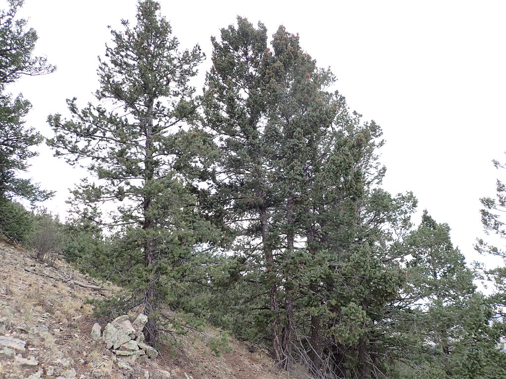 Photo: Matt Lavin, CC BY-SA 2.0 (via Flickr)
Mill Canyon
~9 min drive
1.68-mile out-and-back trail in New Mexico with 47 ft of elevation gain.
 Photo: Matt Lavin, CC BY-SA 2.0 (via Flickr)
Dead Horse Trail # 12
~8 min drive
Quick, easy sub-mile trail suitable for families and beginners.
Map and trail data © OpenStreetMap contributors
