Timber Peak
- 0.2 mi
- round trip
- 259 ft
- climb
- 10,495 ft
- high point
- Out and back
- route
Is Timber Peak open right now?
Alert in the area
The Forest Service lists an alert for Magdalena Ranger District.
Magdalena Ranger District Bear Trap Campground Closure Order #03-03-03-26-01
Agency alert covering Magdalena Ranger District · Order 03-03-03-26-01 · USFS · Magdalena Ranger District
As of · Source: USFS · Magdalena Ranger District. Agencies don't list every closure — check before you go.
Timber Peak is a short out-and-back hike in the Magdalena Ranger District of Cibola National Forest in New Mexico, managed by the Forest Service. The route is about 0.38 miles long, with a one-way elevation gain of 259 feet, taking you from a low point of about 10,193 feet to a high point of about 10,495 feet. The climb is brief and gentle, so it works well as a quick addition to a day spent exploring the surrounding trails. The peak sits close to several other routes, including the Six Mile hike about 0.7 miles away and the Sixmile Trail (14) and Ryan Hill, each about 1.1 miles off. Water Canyon Campground, roughly 3.5 miles away, is the closest place to camp. Climbers can find Alf Rig about 9.5 miles away.
Conditions and forecast on Timber Peak
Daily highs and lows, wind and the chance of precipitation at the summit and route start for the next 7 days, from the Open-Meteo model.
 Six MileHikingPhoto: Matt Lavin, CC BY-SA 2.0 (via Flickr)0.7 mi
- Sixmile Trail (14)Hiking1.1 mi
- Ryan HillHiking1.1 mi
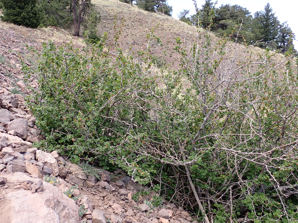 Water Canyon RoadHikingPhoto: Matt Lavin, CC BY-SA 2.0 (via Flickr)1.2 mi
- Water Canyon CampgroundCamping3.5 mi
- Alf RigRock climbing9.5 mi
- Scarry WallRock climbing9.6 mi
- Southern Box areasRock climbing9.8 mi
Source: Roamze catalog (indexable pages within 10 miles, PostGIS distance)
- Six MileHiking · ~1 min drivePhoto: Matt Lavin, CC BY-SA 2.0 (via Flickr)
- Water Canyon RoadHiking · ~2 min drivePhoto: Matt Lavin, CC BY-SA 2.0 (via Flickr)
 Ryan Hill Trail (17)Hiking · ~3 min drivePhoto: Matt Lavin, CC BY-SA 2.0 (via Flickr)
 Copper Canyon Trail #10Hiking · ~4 min drivePhoto: Matt Lavin, CC BY-SA 2.0 (via Flickr)
- Timber PeakHiking · ~1 min drivePhoto: Matt Lavin, CC BY-SA 2.0 (via Flickr)
 North Baldy TrailHiking · ~4 min drivePhoto: Matt Lavin, CC BY-SA 2.0 (via Flickr)
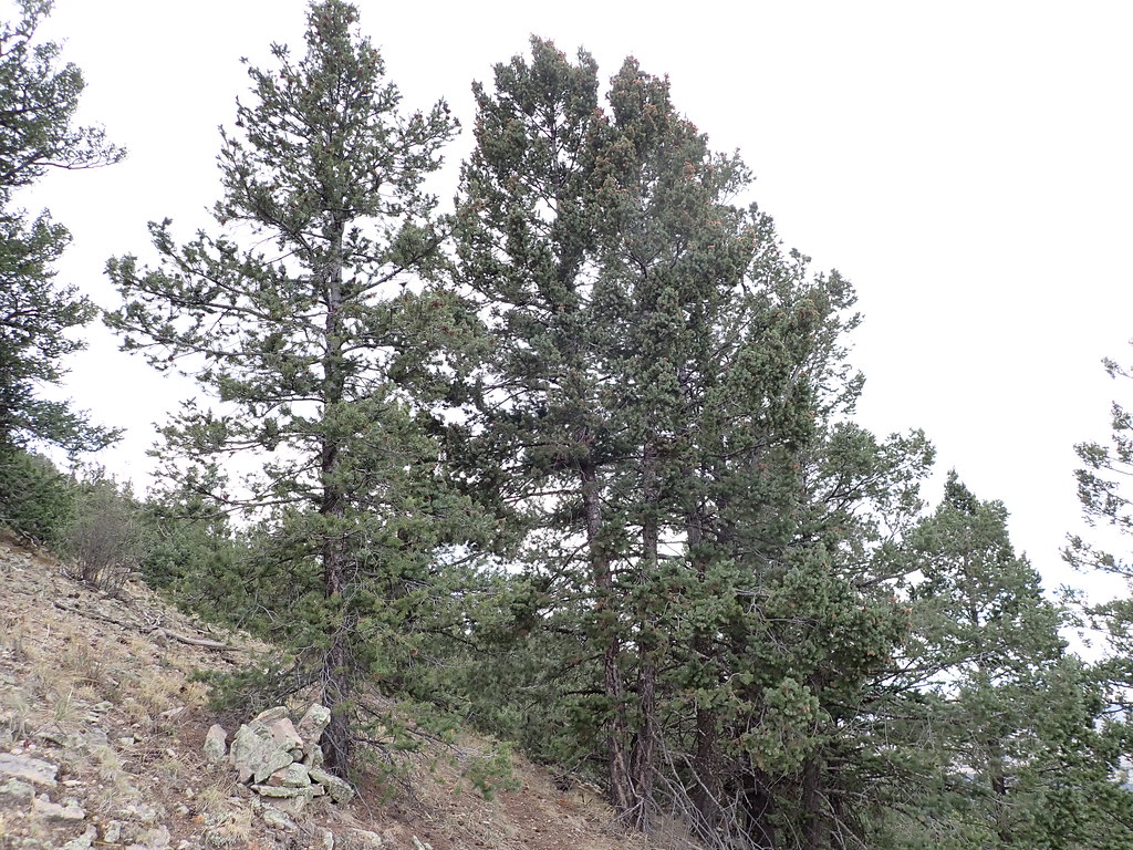 Mill CanyonHiking · ~5 min drivePhoto: Matt Lavin, CC BY-SA 2.0 (via Flickr)
- South CanyonHiking · ~3 min drivePhoto: Matt Lavin, CC BY-SA 2.0 (via Flickr)
 Dead Horse Trail # 12Hiking · ~4 min drivePhoto: Matt Lavin, CC BY-SA 2.0 (via Flickr)
- North Baldy Trail #8Hiking · ~6 min drivePhoto: Matt Lavin, CC BY-SA 2.0 (via Flickr)

Route details
- Distance
- 0.2 mi round trip
- Climbing
- About 259 ft
- Summit
- 10,503 ft
- Difficulty
- Easy
Questions about this route
How long is the Timber Peak on Timber Peak?
About 0.2 mi round trip.
How much elevation gain is on the Timber Peak?
About 259 ft of climbing round trip.
How hard is the Timber Peak?
It is rated easy.
Map and trail data © OpenStreetMap contributors
