South Canyon
 Photo: Matt Lavin, CC BY-SA 2.0 (via Flickr)
- 8.1 mi
- round trip
- 1,215 ft
- climb
- 8,063 ft
- high point
- Out and back
- route
- Apr–Oct
- best months
Is South Canyon open right now?
Alert in the area
The Forest Service lists an alert for Magdalena Ranger District.
Magdalena Ranger District Bear Trap Campground Closure Order #03-03-03-26-01
Agency alert covering Magdalena Ranger District · Order 03-03-03-26-01 · USFS · Magdalena Ranger District
As of · Source: USFS · Magdalena Ranger District. Agencies don't list every closure — check before you go.
South Canyon is a hard hike in New Mexico's Cibola National Forest, on the Magdalena Ranger District. The trail is about 8 miles long and rises roughly 1,200 feet from a low point around 6,800 feet to a high of about 8,060 feet. It is an out-and-back route, and the Forest Service manages the land. The trail is rated hard, and it is a natural-surface route that allows horses and bikes, so plan for the climb on foot, horseback or a mountain bike. The trail is open from about May through October. Snow is typical in winter, and the months from May through September are the most comfortable for a visit. Typical averages from a nearby weather station run from highs around 72°F in May to 82°F in July and August, with September a bit milder at about 75°F. The closest neighbors are the Ryan Hill Trail (17), about 0.7 miles away, and Water Canyon Campground, about 1.7 miles away. Climbers can find Alf Rig about 8.4 miles off.
- Ryan Hill Trail (17)HikingPhoto: Matt Lavin, CC BY-SA 2.0 (via Flickr)0.7 mi
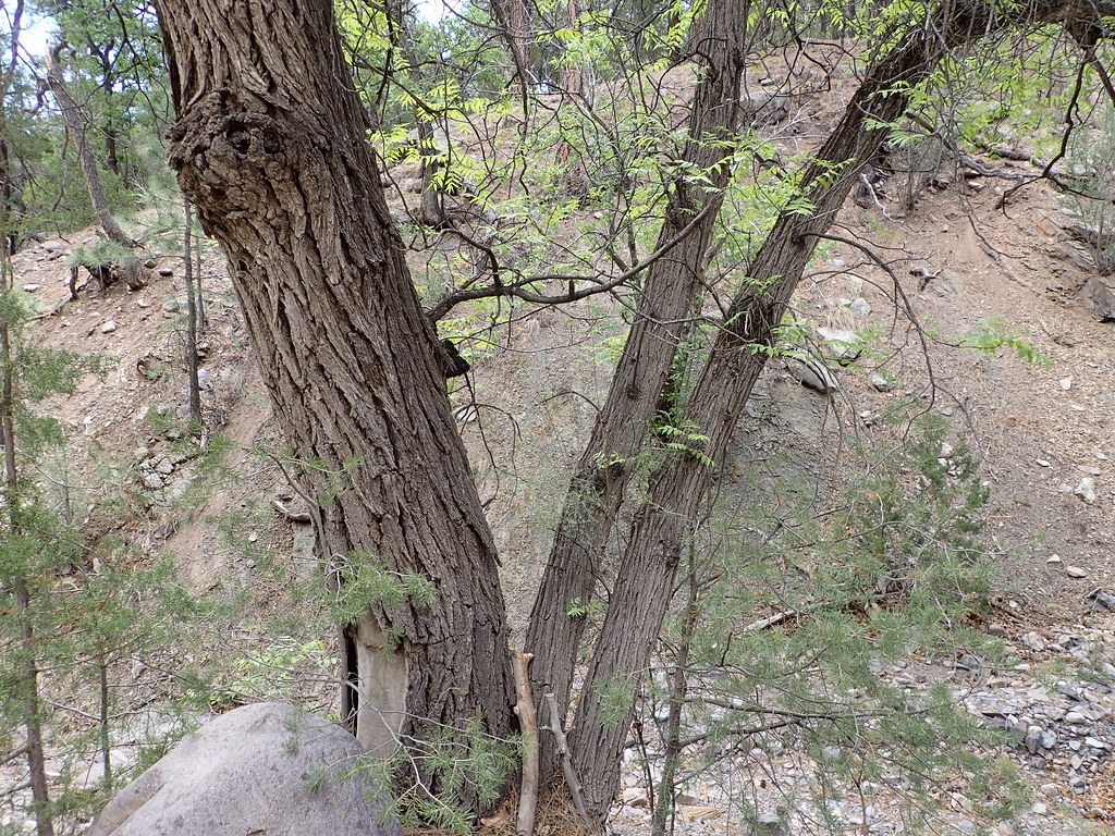 MesaHikingPhoto: Matt Lavin, CC BY-SA 2.0 (via Flickr)1 mi
- Ryan HillHiking1.1 mi
 Copper Canyon TrailHikingPhoto: Matt Lavin, CC BY-SA 2.0 (via Flickr)1.1 mi
- Water Canyon CampgroundCamping1.7 mi
- Alf RigRock climbing8.4 mi
- Scarry WallRock climbing8.5 mi
- Minor WallRock climbing8.7 mi
Source: Roamze catalog (indexable pages within 10 miles, PostGIS distance)
- Ryan Hill Trail (17)Hiking · ~1 min drivePhoto: Matt Lavin, CC BY-SA 2.0 (via Flickr)
- MesaHiking · ~2 min drivePhoto: Matt Lavin, CC BY-SA 2.0 (via Flickr)
- Copper Canyon TrailHiking · ~2 min drivePhoto: Matt Lavin, CC BY-SA 2.0 (via Flickr)
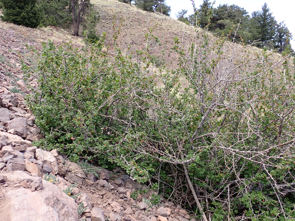 South BaldyHiking · ~4 min drivePhoto: Matt Lavin, CC BY-SA 2.0 (via Flickr)
 Six MileHiking · ~3 min drivePhoto: Matt Lavin, CC BY-SA 2.0 (via Flickr)
 Dead Horse Trail # 12Hiking · ~2 min drivePhoto: Matt Lavin, CC BY-SA 2.0 (via Flickr)
 Copper Canyon Trail #10Hiking · ~5 min drivePhoto: Matt Lavin, CC BY-SA 2.0 (via Flickr)
- Timber PeakHiking · ~3 min drivePhoto: Matt Lavin, CC BY-SA 2.0 (via Flickr)
- Water Canyon RoadHiking · ~4 min drivePhoto: Matt Lavin, CC BY-SA 2.0 (via Flickr)
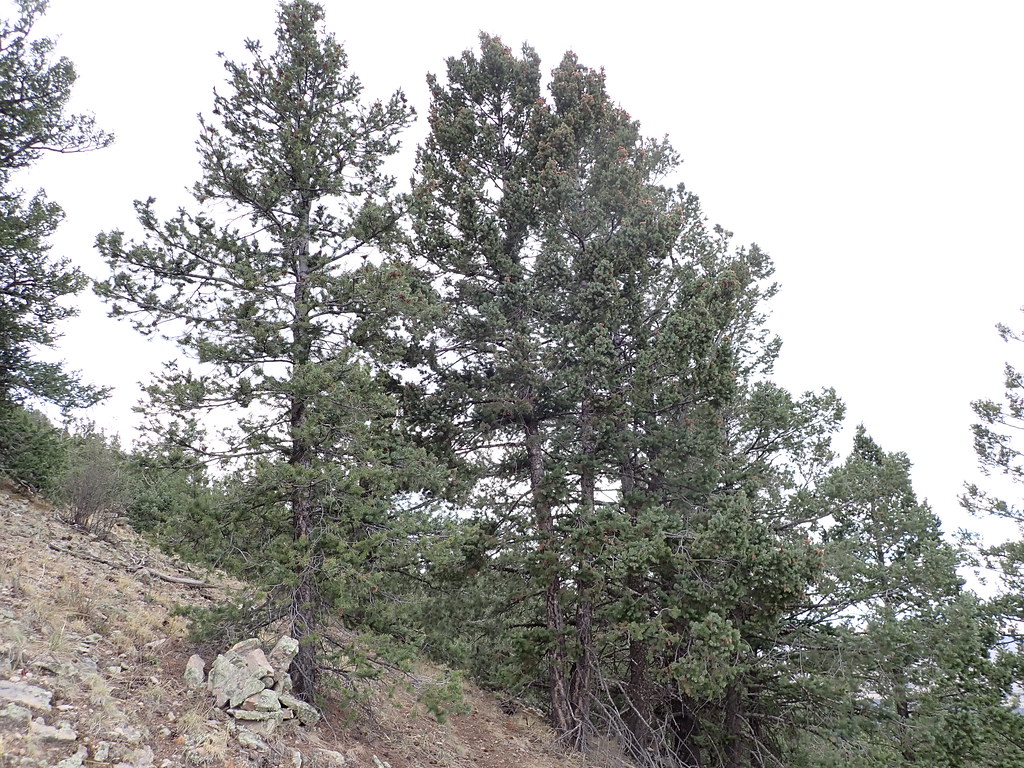 Mill CanyonHiking · ~5 min drivePhoto: Matt Lavin, CC BY-SA 2.0 (via Flickr)
Best time to visit South Canyon
Best months: April–October. Best months have typical highs of 55–85 °F, lows of 30 °F or warmer (32 °F where the station doesn't record snow), at most one snowy day and no more than 12 wet days.
Jan
46° / 17°
3 wet · 1 snow
Feb
49° / 21°
3 wet · 1 snow
Mar
56° / 25°
3 wet
Apr
63° / 31°
2 wet
May
72° / 40°
2 wet
Jun
82° / 49°
3 wet
Jul
82° / 56°
8 wet
Aug
80° / 54°
9 wet
Sep
75° / 46°
6 wet
Oct
66° / 34°
4 wet
Nov
55° / 23°
3 wet
Dec
46° / 16°
3 wet · 1 snow
Typical high / low (°F) and days with rain or snow, 1991–2020. Measured at Augustine 2e, NM, 27.9 mi away at 7,000 ft. The station sits about 1,100 ft lower than this place, so expect it a little cooler here. Source: NOAA NCEI U.S. Climate Normals 1991–2020.
