South Crest Trail
- 0.2 mi
- round trip
- 35 ft
- climb
- 9,599 ft
- high point
- Out and back
- route
Is South Crest Trail open right now?
Closure in the area
There's a closure order in Sandia Ranger District. It doesn't name South Crest Trail, so check the source for the area it covers (3 listed).
Area Closure for Recreation Residence Structures and Property at 91 Casa Loma Road
Agency closure covering Sandia Ranger District · Order 03-03-05-26-14 · USFS · Sandia Ranger District
Area Closure for Recreation Residence Structures and Property at 69 Casa Loma Road
Agency closure covering Sandia Ranger District · Order 03-03-05-26-13 · USFS · Sandia Ranger District
Area Closure for Sandia Crest “Switchback” Hazard Tree and Fuel Reduction Project
Agency closure covering Sandia Ranger District · Order 03-03-05-26-02 · USFS · Sandia Ranger District
Sandia Ranger District Road & Area Closure for National Forest Road 462 Maintenance
Agency alert covering Sandia Ranger District · Order 03-03-05-26-24 · USFS · Sandia Ranger District
Mountainair and Sandia Ranger Districts Stage 1 Fire Restriction Lifted
Agency alert covering Sandia Ranger District · Order 03-03-00-26-20 · USFS · Sandia Ranger District
As of · Source: USFS · Sandia Ranger District. Agencies don't list every closure — check before you go.
The South Crest Trail is a short, easy out-and-back hike in the Sandia Mountain Wilderness, part of the Sandia Ranger District of Cibola National Forest in New Mexico. The trail is only about a third of a mile long and rises about 35 feet from its low point of 9,544 feet to a high of 9,599 feet, so it makes a quick stop on a longer outing in the area. Because the trail is so short, it works well as a link between the surrounding routes rather than a destination on its own. South Sandia Peak Trail starts just 0.1 mile away, and Crest to South Peak Trail lies about 0.2 mile off. Oso Ridge Trail is roughly 0.7 mile away. For climbers, the Upper Fat City Drainage (also known as Embudo Canyon) is about 2.2 miles from the trail.
Local outfitters
- Turquoise Trail Campground4 mi away
Not on Roamze yet. Their page has how to reach them.
- South Sandia Peak TrailHiking0.1 mi
- Crest to South Peak TrailHiking0.2 mi
- Ccc TrailHiking0.4 mi
- Oso Ridge TrailHiking0.7 mi
 Upper Fat City Drainage (a.k.a. Embudo Canyon)Rock climbingPhoto: somjuan, CC BY 2.0 (via Flickr)2.2 mi
- Trail Side Area 1Rock climbing2.5 mi
- Crystal Ship and Glass HouseRock climbing2.8 mi
- Screaming JihadRock climbing2.8 mi
Source: Roamze catalog (indexable pages within 10 miles, PostGIS distance)
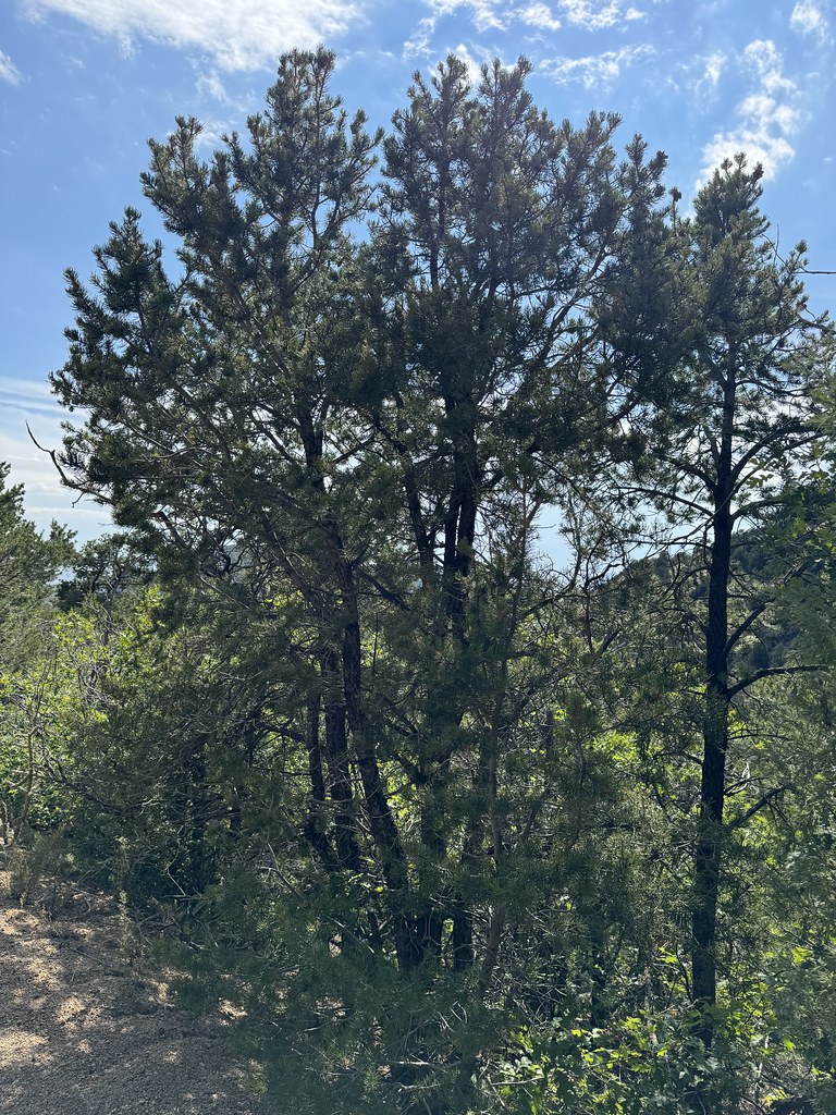 Old Crest TrailHiking · ~3 min drivePhoto: Matt Lavin, CC BY-SA 2.0 (via Flickr)
 EmbudoHiking · ~4 min drivePhoto: somjuan, CC BY 2.0 (via Flickr)
- Ccc TrailHiking · Next door
 Oso Ridge BypassHiking · ~4 min drivePhoto: mnchilemom, CC BY 2.0 (via Flickr)
- Oso Ridge TrailHiking · ~1 min drive
 Oso Ridge-Embudito LinkHiking · ~4 min drivePhoto: Matt Lavin, CC BY-SA 2.0 (via Flickr)
- Embudo to Three GunHiking · ~1 min drive
- Old Embudito TrailHiking · ~4 min drivePhoto: Matt Lavin, CC BY-SA 2.0 (via Flickr)
- Old South Crest TrailHiking · ~3 min drive
 Hawk WatchHiking · ~4 min drivePhoto: Matt Lavin, CC BY-SA 2.0 (via Flickr)
Map and trail data © OpenStreetMap contributors
