Oso Ridge Trail
- 3.9 mi
- distance
- 2,052 ft
- climb
- 9,552 ft
- high point
- Lollipop
- route
Is Oso Ridge Trail open right now?
Closure in the area
There's a closure order in Sandia Ranger District. It doesn't name Oso Ridge Trail, so check the source for the area it covers (3 listed).
Area Closure for Recreation Residence Structures and Property at 91 Casa Loma Road
Agency closure covering Sandia Ranger District · Order 03-03-05-26-14 · USFS · Sandia Ranger District
Area Closure for Recreation Residence Structures and Property at 69 Casa Loma Road
Agency closure covering Sandia Ranger District · Order 03-03-05-26-13 · USFS · Sandia Ranger District
Area Closure for Sandia Crest “Switchback” Hazard Tree and Fuel Reduction Project
Agency closure covering Sandia Ranger District · Order 03-03-05-26-02 · USFS · Sandia Ranger District
Mountainair and Sandia Ranger Districts Stage 1 Fire Restriction Lifted
Agency alert covering Sandia Ranger District · Order 03-03-00-26-20 · USFS · Sandia Ranger District
Mountainair and Sandia Ranger Districts Stage 1 Fire Restriction Order 03-03-00-26-05
Agency alert covering Sandia Ranger District · Order 03-03-00-26-05 · USFS · Sandia Ranger District
As of · Source: USFS · Sandia Ranger District. Agencies don't list every closure — check before you go.
Oso Ridge Trail is a 3.9-mile loop hike in the Sandia Mountain Wilderness, part of the Sandia Ranger District of Cibola National Forest in New Mexico. The Forest Service manages the land, and the trail crosses wilderness boundaries, so plan on a backcountry outing. The route starts at about 6,317 feet and climbs to roughly 9,552 feet, with a total gain of 2,052 feet. It is a moderate hike, and the loop shape makes it a full-day outing rather than a short outing. The trail sits close to several other routes. The South Sandia Peak Northern Approach is about 0.1 mile away, Larrys Trail is about 0.4 mile away, and the South Sandia Peak Trail is about 0.5 mile away. Climbers can find the Upper Fat City Drainage (a.k.a. Embudo Canyon) about 2.8 miles away.
Local outfitters
- Turquoise Trail Campground4 mi away
Not on Roamze yet. Their page has how to reach them.
Keep exploring — more trails worth the drive
 Photo: mnchilemom, CC BY 2.0 (via Flickr)
Oso Ridge Bypass
~3 min drive
0.32-mile out-and-back trail in New Mexico with 131 ft of elevation gain.
HIKE
Larrys Trail
Next door
2.37-mile out-and-back hike in New Mexico with 170 ft gain.
HIKE
Ccc Trail
~2 min drive
1.68-mile out-and-back trail in New Mexico with 1,741 ft elevation loss.
 Photo: Matt Lavin, CC BY-SA 2.0 (via Flickr)
Oso Ridge-Embudito Link
~4 min drive
0.45-mile out-and-back trail with 159 ft gain in New Mexico.
HIKE
Embudo to Three Gun
~2 min drive
1.45-mile out-and-back trail from Embudo to Three Gun in New Mexico.
HIKE
Barts
~4 min drive
3.61-mile out-and-back trail in New Mexico with 1,746 ft gain
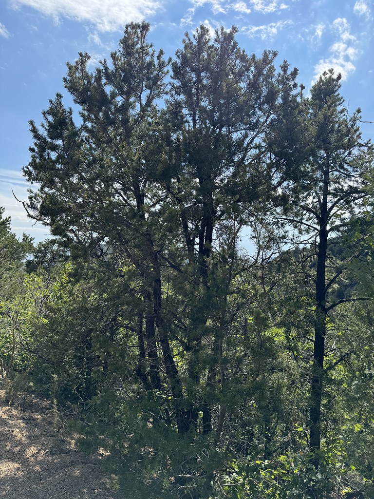 Photo: Matt Lavin, CC BY-SA 2.0 (via Flickr)
Old Crest Trail
~4 min drive
0.35-mile out-and-back trail with 150 ft gain in New Mexico.
HIKE
Embudito-White Wash
~3 min drive
1.81-mile out-and-back trail in New Mexico with 318 ft elevation gain.
HIKE
Faulty
~4 min drive
9.34-mile out-and-back trail in New Mexico with 1,699 ft elevation gain.
Photo: Matt Lavin, CC BY-SA 2.0 (via Flickr)Old Embudito Trail
~4 min drive
0.34-mile out-and-back hike with 138 ft gain in New Mexico.

Map and trail data © OpenStreetMap contributors
