Skyline Trail (251)
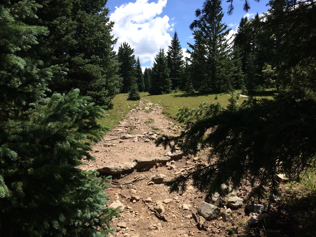 Photo: feverblue, CC BY-SA 2.0 (via Flickr)
- 3.5 mi
- round trip
- 1,442 ft
- climb
- 12,412 ft
- high point
- Out and back
- route
Is Skyline Trail (251) open right now?
Alert in the area
The Forest Service lists 2 alerts for Santa Fe National Forest.
Road Conditions
Agency alert covering Santa Fe National Forest · USFS · Santa Fe National Forest
Headquarters Well Area Closure on Española Ranger District
Agency alert covering Espanola Ranger District · Order 03-10-06-25-17 · USFS · Espanola Ranger District
As of · Source: USFS · Santa Fe National Forest. Agencies don't list every closure — check before you go.
Skyline Trail (251) is a 7-mile out-and-back hike in the Pecos Wilderness, part of the Espanola Ranger District of the Santa Fe National Forest in northern New Mexico. The Forest Service manages the land, and the trail crosses wilderness boundaries, so plan on a day in the backcountry. The route starts at about 11,084 feet and climbs to roughly 12,412 feet, a gain of about 1,442 feet one way. That makes it a hard hike, and the full round trip adds up to about 1442 feet of elevation gain. The Winsor Trail (254) lies about 0.4 miles away, and the Winsor hike is about 0.7 miles off. For an overnight base, Aspen Basin campground is about 3.1 miles away, and Holy Ghost Gcg is about 3.7 miles away.
Local outfitters
- Taos Mountain Outfitters42 mi away
Not on Roamze yet. Their page has how to reach them.
Keep exploring — more trails worth the drive
Photo: feverblue, CC BY-SA 2.0 (via Flickr)Winsor Trail (254)
Next door
0.46-mile out-and-back trail in New Mexico with 166 ft of elevation gain.
 Photo: Bryan Ungard from Santa Fe, New Mexico, USA, CC BY-SA 2.0 (via Wikimedia Commons)
Skyline Trail (251)
Next door
4.74-mile out-and-back trail in New Mexico with 1,616 ft elevation gain.
 Photo: Bryan Ungard from Santa Fe, New Mexico, USA, CC BY-SA 2.0 (via Wikimedia Commons)
Winsor Trail (254)
~3 min drive
6.74-mile out-and-back trail in New Mexico with 3,252 ft elevation gain and loss.
 Photo: steveilott, CC BY 2.0 (via Flickr)
Tesuque Creek
~8 min drive
6.96-mile out-and-back trail in New Mexico with 2,987 ft elevation gain.
Photo: Bryan Ungard from Santa Fe, New Mexico, USA, CC BY-SA 2.0 (via Wikimedia Commons)Upper Nambe
~3 min drive
1.07-mile out-and-back trail in New Mexico with 210 ft elevation gain.
Photo: feverblue, CC BY-SA 2.0 (via Flickr)Winsor
~1 min drive
5.40-mile out-and-back trail in New Mexico with 1,086 ft gain.
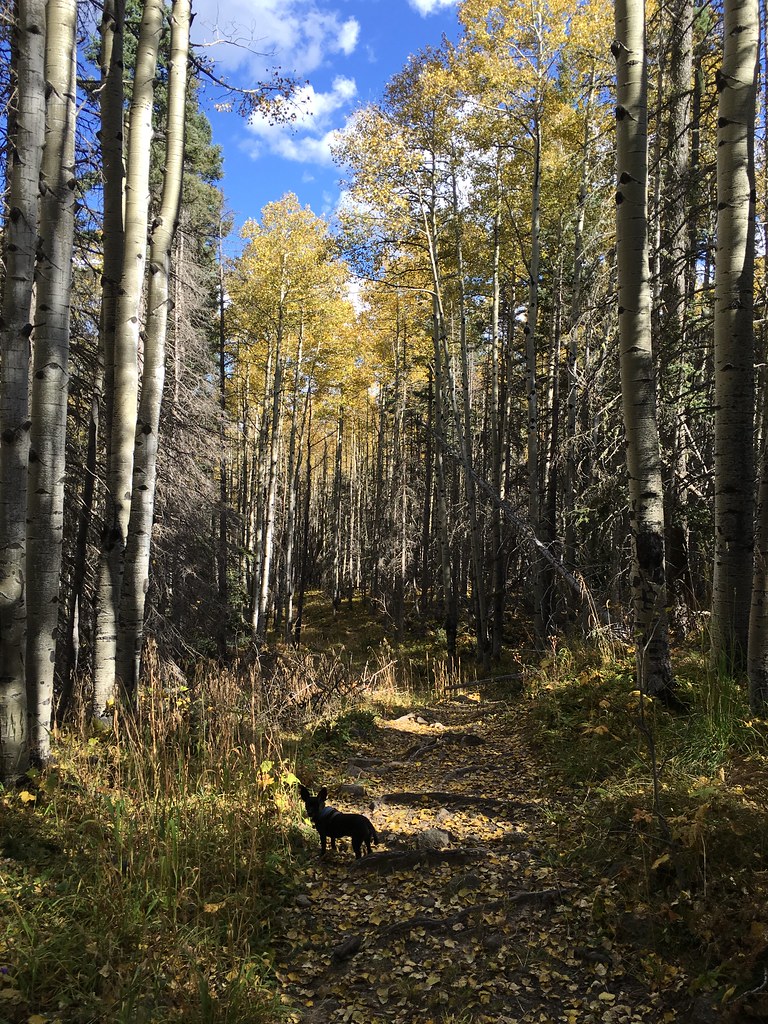 Photo: feverblue, CC BY-SA 2.0 (via Flickr)
Winsor Trail (254)
~4 min drive
12.86-mile out-and-back hike in New Mexico with 3,574 ft elevation gain and loss.
Photo: Bryan Ungard from Santa Fe, New Mexico, USA, CC BY-SA 2.0 (via Wikimedia Commons)Ravens Ridge
~3 min drive
4.18-mile out-and-back trail in New Mexico with 1,815 ft elevation gain
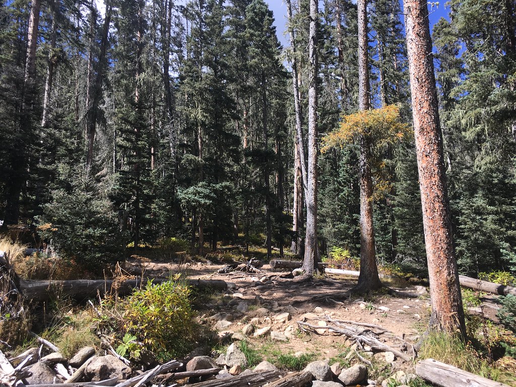 Photo: feverblue, CC BY-SA 2.0 (via Flickr)
Winsor Trail (254)
~3 min drive
0.66-mile out-and-back hike in New Mexico with 458 ft of elevation gain.
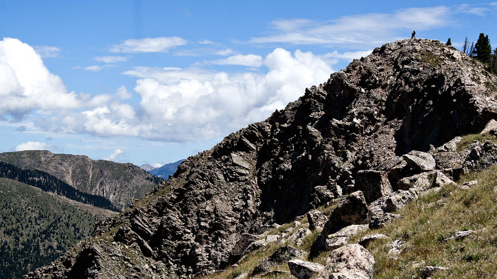 Photo: feverblue, CC BY-SA 2.0 (via Flickr)
Old Skyline Trail
~2 min drive
1.08-mile out-and-back hike in New Mexico with 442 ft elevation gain


Route details
- Distance
- 3.5 mi round trip
- Climbing
- About 1,442 ft
- Summit
- 12,412 ft
- Difficulty
- Hard
Questions about this route
How long is the Skyline Trail (251) on Lake Peak?
About 3.5 mi round trip.
How much elevation gain is on the Skyline Trail (251)?
About 1,442 ft of climbing round trip.
How hard is the Skyline Trail (251)?
It is rated hard.
Conditions and forecast on Lake Peak
Daily highs and lows, wind and the chance of precipitation at the summit and route start for the next 7 days, from the Open-Meteo model.
Map and trail data © OpenStreetMap contributors
