Red Tail
 Photo: John Fowler from Placitas, NM, USA, CC BY 2.0 (via Wikimedia Commons)
- 2.6 mi
- round trip
- 212 ft
- climb
- 5,580 ft
- high point
- Out and back
- route
- Mar–May, Sep–Nov
- best months
Is Red Tail open right now?
Closure in the area
There's a closure order in Sandia Ranger District. It doesn't name Red Tail, so check the source for the area it covers (3 listed).
Area Closure for Recreation Residence Structures and Property at 91 Casa Loma Road
Agency closure covering Sandia Ranger District · Order 03-03-05-26-14 · USFS · Sandia Ranger District
Area Closure for Recreation Residence Structures and Property at 69 Casa Loma Road
Agency closure covering Sandia Ranger District · Order 03-03-05-26-13 · USFS · Sandia Ranger District
Area Closure for Sandia Crest “Switchback” Hazard Tree and Fuel Reduction Project
Agency closure covering Sandia Ranger District · Order 03-03-05-26-02 · USFS · Sandia Ranger District
Sandia Ranger District Road & Area Closure for National Forest Road 462 Maintenance
Agency alert covering Sandia Ranger District · Order 03-03-05-26-24 · USFS · Sandia Ranger District
Mountainair and Sandia Ranger Districts Stage 1 Fire Restriction Lifted
Agency alert covering Sandia Ranger District · Order 03-03-00-26-20 · USFS · Sandia Ranger District
As of · Source: USFS · Sandia Ranger District. Agencies don't list every closure — check before you go.
Red Tail is an easy out-and-back hike on Forest Service land in the Sandia Ranger District of Cibola National Forest in New Mexico. The trail is 2.6 miles long and rises about 212 feet from a low point of 5,359 feet to a high point of 5,580 feet. Bikes are allowed on the natural-surface trail, and the route is not accessible. Spring and fall are the most comfortable times to go. Typical averages from a nearby weather station show April and October highs around 71°F with lows near 40°F, while July highs reach about 91°F with more wet days. The hike sits close to other trails. Sunrise, Bobsled and Nxnw are each about 0.3 miles away, and The Handle is about 0.4 miles away. Climbers can find Tunnel Springs about 3.9 miles off.
- SunriseHiking0.3 mi
- BobsledHiking0.3 mi
- NxnwHiking0.3 mi
- The HandleHiking0.4 mi
- Tunnel SpringsRock climbing3.9 mi
- ShieldRock climbing4.6 mi
- Juan Tabo CanyonRock climbing5 mi
- Juan Tabo PGRock climbing5.3 mi
Source: Roamze catalog (indexable pages within 10 miles, PostGIS distance)
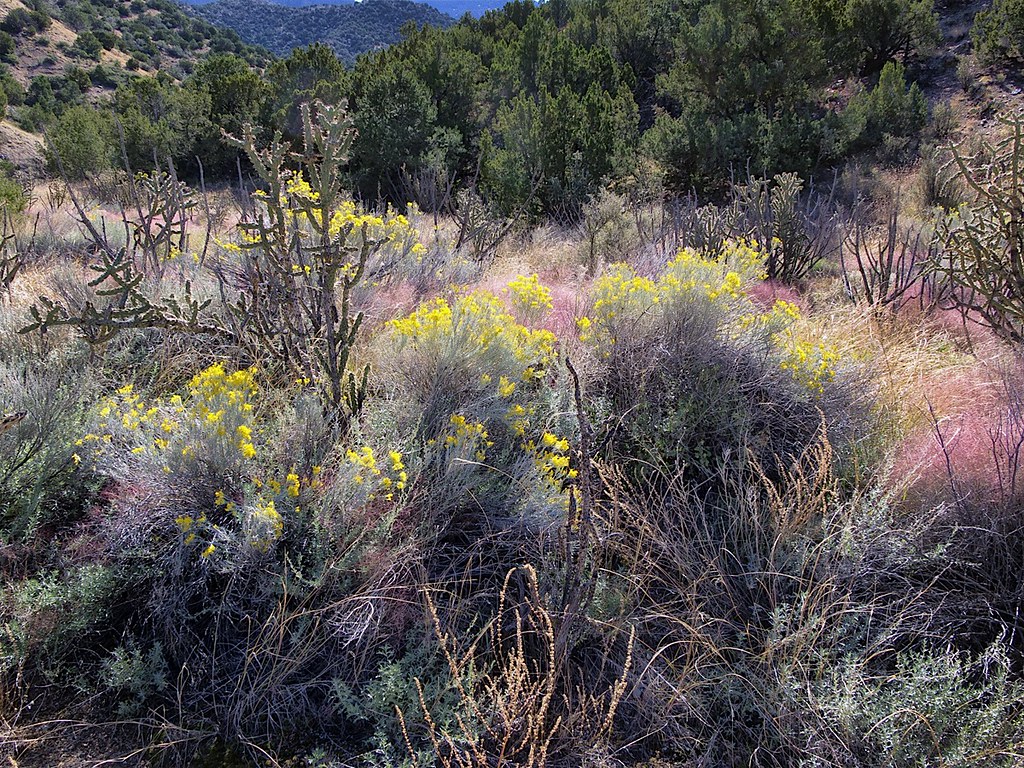 SidewinderHiking · ~3 min drivePhoto: snowpeak, CC BY 2.0 (via Flickr)
- Del Agua TrailHiking · ~5 min drivePhoto: snowpeak, CC BY 2.0 (via Flickr)
- Movie TrailHiking · ~8 min drive
- Tight RopeHiking · ~3 min drivePhoto: snowpeak, CC BY 2.0 (via Flickr)
 Piedra Lisa North TrailHiking · ~6 min drivePhoto: uıɐɾ ʞ ʇɐɯɐs, CC BY-SA 2.0 (via Flickr)
- Strip Mine Trail (51)Hiking · ~5 min drivePhoto: John Fowler from Placitas, NM, USA, CC BY 2.0 (via Wikimedia Commons)
- Upper Juan Tabo Canyon TrailHiking · ~7 min drivePhoto: uıɐɾ ʞ ʇɐɯɐs, CC BY-SA 2.0 (via Flickr)
- Tin Shed TrailHiking · ~6 min drivePhoto: uıɐɾ ʞ ʇɐɯɐs, CC BY-SA 2.0 (via Flickr)
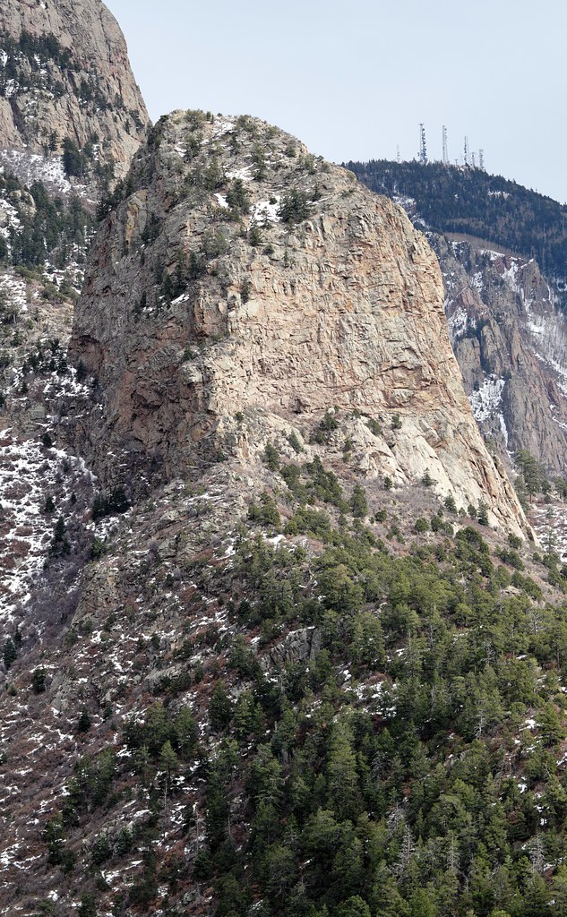 Juan Tabo CanyonHiking · ~8 min drivePhoto: uıɐɾ ʞ ʇɐɯɐs, CC BY-SA 2.0 (via Flickr)
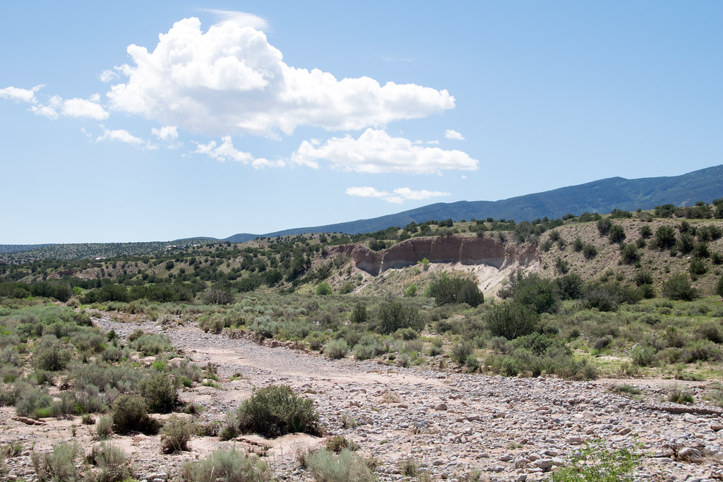 Las Huertas Creek Tr.Hiking · ~6 min drivePhoto: Paul and Jill, CC BY 2.0 (via Flickr)
Best time to visit Red Tail
Best months: March–May and September–November. Best months have typical highs of 55–85 °F, lows of 30 °F or warmer (32 °F where the station doesn't record snow), at most one snowy day and no more than 12 wet days.
Jan
47° / 24°
2 wet · 1 snow
Feb
53° / 28°
3 wet · 1 snow
Mar
61° / 33°
3 wet · 1 snow
Apr
71° / 40°
3 wet
May
79° / 48°
3 wet
Jun
89° / 58°
4 wet
Jul
91° / 63°
8 wet
Aug
89° / 60°
8 wet
Sep
82° / 53°
5 wet
Oct
71° / 41°
4 wet
Nov
56° / 31°
3 wet · 1 snow
Dec
46° / 24°
2 wet · 1 snow
Typical high / low (°F) and days with rain or snow, 1991–2020. Measured at Placitas 4w, NM, 1.9 mi away at 5,585 ft. Source: NOAA NCEI U.S. Climate Normals 1991–2020.

