Gramont Peak Trail
- 0.6 mi
- round trip
- 310 ft
- climb
- 6,044 ft
- high point
- Out and back
- route
- Mar–May, Sep–Oct
- best months
Gramont Peak Trail is a short out-and-back hike on Bureau of Land Management land in the Socorro Field Office of New Mexico, about half a mile from the trailhead. The climb rises about 310 feet from a low point of 5,719 feet to a high of 6,044 feet over a route that is roughly 1.1 miles long. Spring and fall are the most comfortable times to go. Typical averages from the nearby Socorro weather station show April highs around 75°F and October highs around 73°F, while July and August average highs near 91°F with more wet days. The trail sits close to several other destinations. Gloryana Trail and Box Canyon Road are each about a tenth of a mile away, and Major Wall and Pocket Change Wall are climbing areas at the same distance. For an overnight stay, Water Canyon Campground is about 8.5 miles away.
Conditions and forecast on Gramont Peak
Daily highs and lows, wind and the chance of precipitation at the summit and route start for the next 7 days, from the Open-Meteo model.
- Gloryana TrailHiking0.1 mi
- Major WallRock climbing0.1 mi
- Pocket Change WallRock climbing0.1 mi
- Box Canyon RoadHiking0.1 mi
- Alcohol Wall SouthRock climbing0.2 mi
- Alcohol WallRock climbing0.2 mi
- South Box TrailHiking0.2 mi
- Water Canyon CampgroundCamping8.5 mi
Source: Roamze catalog (indexable pages within 10 miles, PostGIS distance)
 Dead Horse Trail # 12Hiking · ~13 min drivePhoto: Matt Lavin, CC BY-SA 2.0 (via Flickr)
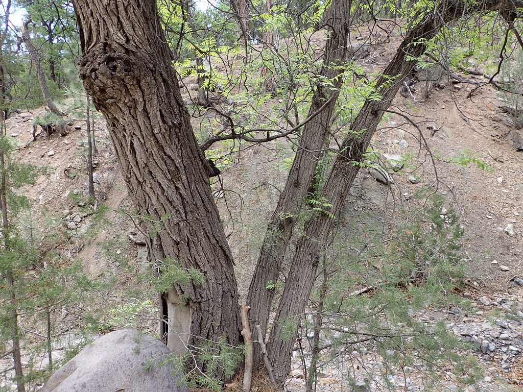 MesaHiking · ~15 min drivePhoto: Matt Lavin, CC BY-SA 2.0 (via Flickr)
 Ryan Hill Trail (17)Hiking · ~15 min drivePhoto: Matt Lavin, CC BY-SA 2.0 (via Flickr)
- Grand Enchantment TrailHiking · ~6 min drive
 Copper Canyon TrailHiking · ~15 min drivePhoto: Matt Lavin, CC BY-SA 2.0 (via Flickr)
- South CanyonHiking · ~15 min drivePhoto: Matt Lavin, CC BY-SA 2.0 (via Flickr)
- Six Mile TrailHiking · ~6 min drive
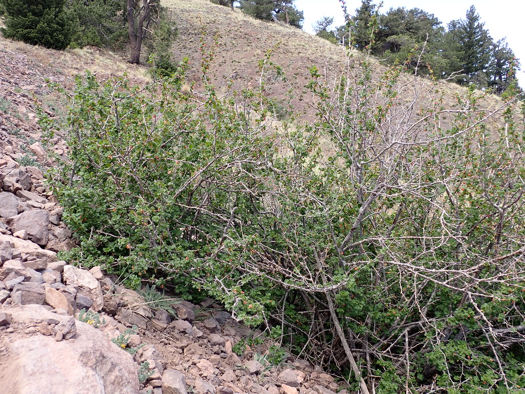 Water Canyon RoadHiking · ~18 min drivePhoto: Matt Lavin, CC BY-SA 2.0 (via Flickr)
 Six MileHiking · ~17 min drivePhoto: Matt Lavin, CC BY-SA 2.0 (via Flickr)
- South Canyon RoadHiking · ~9 min drive
Best time to visit Gramont Peak Trail
Best months: March–May and September–October. Best months have typical highs of 55–85 °F, lows of 30 °F or warmer (32 °F where the station doesn't record snow), at most one snowy day and no more than 12 wet days.
Jan
52° / 23°
3 wet
Feb
59° / 28°
3 wet
Mar
67° / 34°
3 wet
Apr
75° / 41°
2 wet
May
83° / 49°
3 wet
Jun
91° / 57°
4 wet
Jul
91° / 63°
8 wet
Aug
89° / 61°
9 wet
Sep
84° / 53°
6 wet
Oct
73° / 41°
4 wet
Nov
61° / 31°
4 wet
Dec
50° / 24°
4 wet
Typical high / low (°F) and days with rain or snow, 1991–2020. Measured at Socorro, NM, 8 mi away at 4,593 ft. The station sits about 1,500 ft lower than this place, so expect it a little cooler here. This station doesn't record snowfall. Source: NOAA NCEI U.S. Climate Normals 1991–2020.

Route details
- Distance
- 0.6 mi round trip
- Climbing
- About 310 ft
- Summit
- 6,044 ft
- Difficulty
- Easy
Questions about this route
How long is the Gramont Peak Trail on Gramont Peak?
About 0.6 mi round trip.
How much elevation gain is on the Gramont Peak Trail?
About 310 ft of climbing round trip.
How hard is the Gramont Peak Trail?
It is rated easy.
Map and trail data © OpenStreetMap contributors
