Copper Canyon Trail
 Photo: Matt Lavin, CC BY-SA 2.0 (via Flickr)
- 0.4 mi
- round trip
- 132 ft
- climb
- 7,052 ft
- high point
- Out and back
- route
- Apr–Oct
- best months
Is Copper Canyon Trail open right now?
Alert in the area
The Forest Service lists an alert for Magdalena Ranger District.
Magdalena Ranger District Bear Trap Campground Closure Order #03-03-03-26-01
Agency alert covering Magdalena Ranger District · Order 03-03-03-26-01 · USFS · Magdalena Ranger District
As of · Source: USFS · Magdalena Ranger District. Agencies don't list every closure — check before you go.
Copper Canyon Trail is a short, easy out-and-back hike in the Magdalena Ranger District of Cibola National Forest in northern New Mexico, managed by the Forest Service. The trail is about 0.4 miles long and gains roughly 130 feet of elevation, so it's a quick addition to a day in the area rather than a destination on its own. The route starts at a low point of about 6,892 feet and reaches a high of 7,052 feet. The whole trip is about 0.8 miles round trip. Spring and fall are the most comfortable times to go. Typical averages from a nearby weather station show May highs around 72°F and October highs near 66°F. July and August bring the most wet days, with about eight or nine a month, while winter highs sit in the mid-40s. Water Canyon Campground is about 0.7 miles away, and Mesa and South Canyon are both within about a mile. Climbers can find Alf Rig roughly 8.6 miles off.
Best time to go · Apr–Oct
Best time to visit Copper Canyon Trail
Best months: April–October. Best months have typical highs of 55–85 °F, lows of 30 °F or warmer (32 °F where the station doesn't record snow), at most one snowy day and no more than 12 wet days.
Jan
46° / 17°
3 wet · 1 snow
Feb
49° / 21°
3 wet · 1 snow
Mar
56° / 25°
3 wet
Apr
63° / 31°
2 wet
May
72° / 40°
2 wet
Jun
82° / 49°
3 wet
Jul
82° / 56°
8 wet
Aug
80° / 54°
9 wet
Sep
75° / 46°
6 wet
Oct
66° / 34°
4 wet
Nov
55° / 23°
3 wet
Dec
46° / 16°
3 wet · 1 snow
Typical high / low (°F) and days with rain or snow, 1991–2020. Measured at Augustine 2e, NM, 27.9 mi away at 7,000 ft. Source: NOAA NCEI U.S. Climate Normals 1991–2020.
Keep exploring — more trails worth the drive
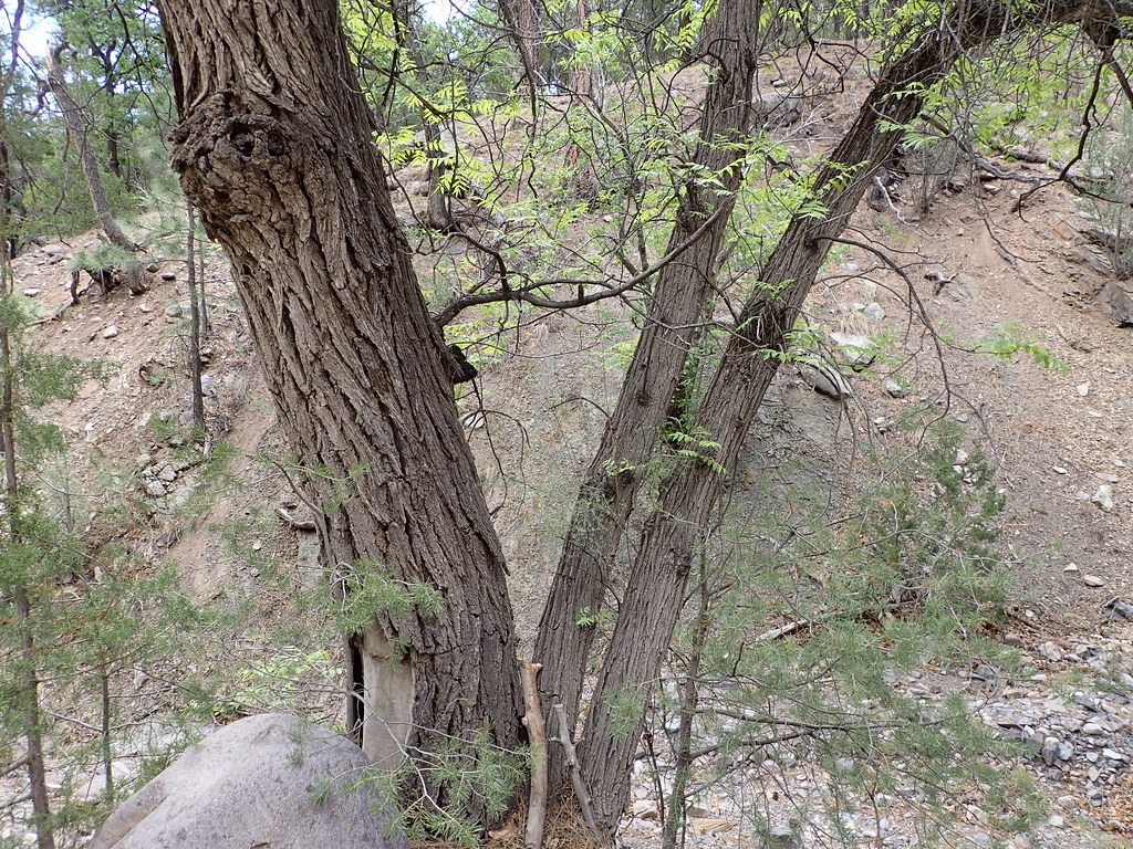 Photo: Matt Lavin, CC BY-SA 2.0 (via Flickr)
Mesa
Next door
Mesa is an 11.26-mile out-and-back trail in New Mexico with 3,020 feet of elevation gain.
 Photo: Matt Lavin, CC BY-SA 2.0 (via Flickr)
Ryan Hill Trail (17)
~3 min drive
9.18-mile out-and-back trail in New Mexico with 3,376 ft elevation gain.
 Photo: Matt Lavin, CC BY-SA 2.0 (via Flickr)
Dead Horse Trail # 12
~3 min drive
Quick, easy sub-mile trail suitable for families and beginners.
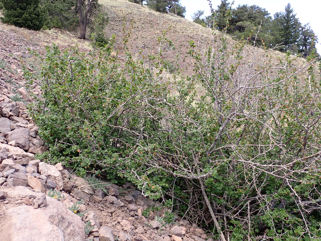 Photo: Matt Lavin, CC BY-SA 2.0 (via Flickr)
South Baldy
~5 min drive
5.84-mile out-and-back trail in New Mexico managed by the Forest Service.
Photo: Matt Lavin, CC BY-SA 2.0 (via Flickr)South Canyon
~2 min drive
8.11-mile out-and-back trail in South Canyon, New Mexico.
 Photo: Matt Lavin, CC BY-SA 2.0 (via Flickr)
North Baldy Trail
~5 min drive
0.96-mile out-and-back hike to Baldy summit in New Mexico with 551 ft gain
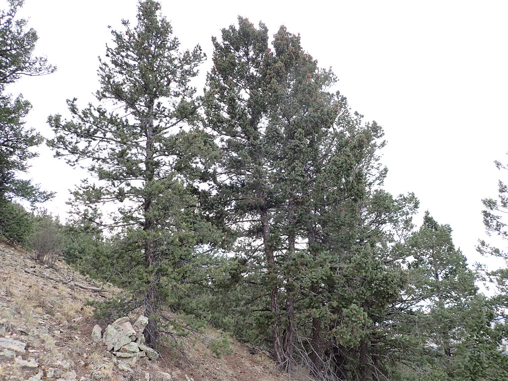 Photo: Matt Lavin, CC BY-SA 2.0 (via Flickr)
North Baldy Trail #8
~5 min drive
Quick 2.71-mile mountain hike with scenic ridge views.
 Photo: Matt Lavin, CC BY-SA 2.0 (via Flickr)
Six Mile
~4 min drive
11.04-mile out-and-back trail in New Mexico with 1,285 ft elevation gain.
Photo: Matt Lavin, CC BY-SA 2.0 (via Flickr)Water Canyon Road
~5 min drive
0.79-mile out-and-back trail in New Mexico with 516 ft elevation gain.
Photo: Matt Lavin, CC BY-SA 2.0 (via Flickr)Mill Canyon
~5 min drive
1.68-mile out-and-back trail in New Mexico with 47 ft of elevation gain.
Map and trail data © OpenStreetMap contributors
