South Canyon Road
- 2.7 mi
- round trip
- 666 ft
- climb
- 7,250 ft
- high point
- Out and back
- route
- Apr–Oct
- best months
South Canyon Road is a moderate, 5.4-mile out-and-back hike on Bureau of Land Management land in New Mexico's Socorro Field Office. The route climbs from a low point of about 6,574 feet to a high of roughly 7,250 feet, and the total elevation gain is about 666 feet one way. The most comfortable stretch for a visit runs from late spring into early fall. Typical averages from a nearby weather station show May highs around 72°F and September highs around 75°F, while July and August bring the most wet days. Winters there are cold, with January highs near 46°F and lows around 17°F. Water Canyon Campground sits about 3.1 miles away. The Grand Enchantment Trail and the Six Mile Trail are each about 1.7 miles off, and the North Face climbing area is about 5.2 miles away.
- Grand Enchantment TrailHiking1.7 mi
- Six Mile TrailHiking1.7 mi
- Mesa Trail #13Hiking2.1 mi
- Dead Horse Trail (12)Hiking2.5 mi
- Water Canyon CampgroundCamping3.1 mi
- North FaceRock climbing5.2 mi
- Waterfall WallRock climbing5.2 mi
- Tree BoulderRock climbing5.2 mi
Source: Roamze catalog (indexable pages within 10 miles, PostGIS distance)
 Dead Horse Trail # 12Hiking · ~5 min drivePhoto: Matt Lavin, CC BY-SA 2.0 (via Flickr)
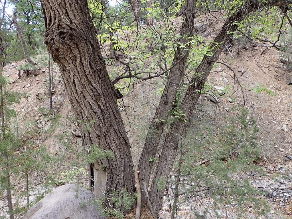 MesaHiking · ~6 min drivePhoto: Matt Lavin, CC BY-SA 2.0 (via Flickr)
 Ryan Hill Trail (17)Hiking · ~7 min drivePhoto: Matt Lavin, CC BY-SA 2.0 (via Flickr)
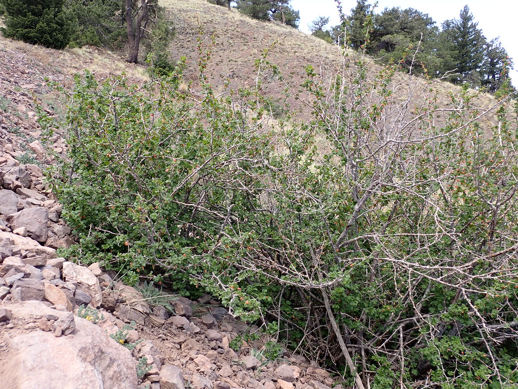 South BaldyHiking · ~10 min drivePhoto: Matt Lavin, CC BY-SA 2.0 (via Flickr)
 Copper Canyon TrailHiking · ~6 min drivePhoto: Matt Lavin, CC BY-SA 2.0 (via Flickr)
- South CanyonHiking · ~6 min drivePhoto: Matt Lavin, CC BY-SA 2.0 (via Flickr)
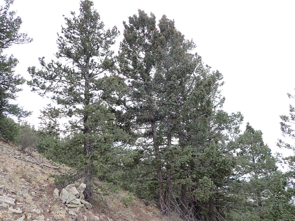 North Baldy Trail #8Hiking · ~11 min drivePhoto: Matt Lavin, CC BY-SA 2.0 (via Flickr)
- Water Canyon RoadHiking · ~10 min drivePhoto: Matt Lavin, CC BY-SA 2.0 (via Flickr)
 Six MileHiking · ~9 min drivePhoto: Matt Lavin, CC BY-SA 2.0 (via Flickr)
- Mill CanyonHiking · ~11 min drivePhoto: Matt Lavin, CC BY-SA 2.0 (via Flickr)
Best time to visit South Canyon Road
Best months: April–October. Best months have typical highs of 55–85 °F, lows of 30 °F or warmer (32 °F where the station doesn't record snow), at most one snowy day and no more than 12 wet days.
Jan
46° / 17°
3 wet · 1 snow
Feb
49° / 21°
3 wet · 1 snow
Mar
56° / 25°
3 wet
Apr
63° / 31°
2 wet
May
72° / 40°
2 wet
Jun
82° / 49°
3 wet
Jul
82° / 56°
8 wet
Aug
80° / 54°
9 wet
Sep
75° / 46°
6 wet
Oct
66° / 34°
4 wet
Nov
55° / 23°
3 wet
Dec
46° / 16°
3 wet · 1 snow
Typical high / low (°F) and days with rain or snow, 1991–2020. Measured at Augustine 2e, NM, 31.3 mi away at 7,000 ft. Source: NOAA NCEI U.S. Climate Normals 1991–2020.
Map and trail data © OpenStreetMap contributors
