South Box Trail
- 0.5 mi
- round trip
- 127 ft
- climb
- 5,952 ft
- high point
- Out and back
- route
- Mar–May, Sep–Oct
- best months
South Box Trail is a short, easy hike on Bureau of Land Management land in the Socorro Field Office, about half a mile from Socorro, New Mexico. The trail is an out-and-back that covers about a mile of ground, with a one-way climb of roughly 127 feet from a low point of 5,814 feet to a high of 5,952 feet. Spring and fall are the most comfortable times to go. Typical averages from a nearby weather station in Socorro show April highs around 75°F and October highs around 73°F, while July and August average highs near 91°F with more wet days. The trail sits among a cluster of climbing areas and other hikes. Las Hermanas and Minor Wall are climbing spots about 0.2 miles away, and Gramont Peak Trail and Gloryana Trail are hikes at a similar distance. Water Canyon Campground, about 8.6 miles off, is the closest place to camp.
Best time to go · Mar–May, Sep–Oct
Best time to visit South Box Trail
Best months: March–May and September–October. Best months have typical highs of 55–85 °F, lows of 30 °F or warmer (32 °F where the station doesn't record snow), at most one snowy day and no more than 12 wet days.
Jan
52° / 23°
3 wet
Feb
59° / 28°
3 wet
Mar
67° / 34°
3 wet
Apr
75° / 41°
2 wet
May
83° / 49°
3 wet
Jun
91° / 57°
4 wet
Jul
91° / 63°
8 wet
Aug
89° / 61°
9 wet
Sep
84° / 53°
6 wet
Oct
73° / 41°
4 wet
Nov
61° / 31°
4 wet
Dec
50° / 24°
4 wet
Typical high / low (°F) and days with rain or snow, 1991–2020. Measured at Socorro, NM, 7.7 mi away at 4,593 ft. The station sits about 1,400 ft lower than this place, so expect it a little cooler here. This station doesn't record snowfall. Source: NOAA NCEI U.S. Climate Normals 1991–2020.
Keep exploring — more trails worth the drive
 Photo: Matt Lavin, CC BY-SA 2.0 (via Flickr)
Dead Horse Trail # 12
~13 min drive
Quick, easy sub-mile trail suitable for families and beginners.
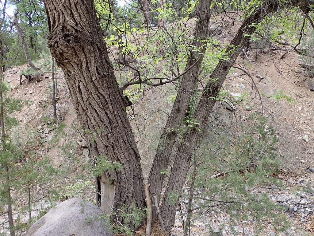 Photo: Matt Lavin, CC BY-SA 2.0 (via Flickr)
Mesa
~15 min drive
Mesa is an 11.26-mile out-and-back trail in New Mexico with 3,020 feet of elevation gain.
 Photo: Matt Lavin, CC BY-SA 2.0 (via Flickr)
Ryan Hill Trail (17)
~15 min drive
9.18-mile out-and-back trail in New Mexico with 3,376 ft elevation gain.
HIKE
Six Mile Trail
~7 min drive
3.48-mile out-and-back trail in New Mexico with 7,904 ft gain.
 Photo: Matt Lavin, CC BY-SA 2.0 (via Flickr)
Copper Canyon Trail
~15 min drive
Copper Canyon Trail is a 0.41-mile out-and-back hike in New Mexico with 33 feet of elevation gain.
 Photo: Matt Lavin, CC BY-SA 2.0 (via Flickr)
Six Mile
~17 min drive
11.04-mile out-and-back trail in New Mexico with 1,285 ft elevation gain.
HIKE
Grand Enchantment Trail
~7 min drive
6.35-mile lollipop trail in New Mexico with 6,037 ft gain
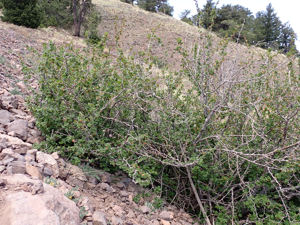 Photo: Matt Lavin, CC BY-SA 2.0 (via Flickr)
Water Canyon Road
~19 min drive
0.79-mile out-and-back trail in New Mexico with 516 ft elevation gain.
Photo: Matt Lavin, CC BY-SA 2.0 (via Flickr)Timber Peak
~18 min drive
8.67-mile out-and-back to Timber Peak in New Mexico with 1,636 ft gain.
HIKE
M Mountain Run
~9 min drive
Steep 1.69-mile climb with 2,240 ft gain near M Mountain.

Map and trail data © OpenStreetMap contributors
