Jericho Mountain
 Photo: Sirberlinnh, CC BY-SA 4.0 (via Wikimedia Commons)
- 2,483 ft
- summit
- Aug–Sep
- best months
Jericho Mountain is a summit in New Hampshire, rising to 2,483 feet about 3 miles from the town of Berlin. It sits in a cluster of climbing areas and hiking trails, making it a natural anchor for a day of rock and footwork in the Berlin area. Summer is the most comfortable time to visit. Typical averages from the York Pond weather station, about 6 miles away, show July highs near 76°F with lows around 53°F, and temperatures on the summit run cooler than that. Winters are cold, with January highs around 25°F. The closest climbing is at Mount Forist, about 1.4 miles away, and the Madigan Area and Middle Forist Area, each about 1.5 miles off. The Mt. Jasper Trail is roughly 1.9 miles away for a hike.
Conditions and forecast
Daily highs and lows, wind and the chance of precipitation at the summit for the next 7 days, from the Open-Meteo model.
- Summit elevation
- 2,483 ft
Elevation from USGS 3D Elevation Program terrain data (about 10 m resolution).
We don't know of a mapped trail or route to the summit of Jericho Mountain. Plan the approach with local maps, a guidebook or a local guide, and check conditions before you go.
Questions about Jericho Mountain
How tall is Jericho Mountain?
2,483 ft (757 m).
Is there a trail to the top of Jericho Mountain?
We don't know of a mapped trail or route to the summit. Plan the approach with local maps, a guidebook or a local guide.
- Mount Jasper1,587 ft · New Hampshire2 routes2.0 mi away
- Mount Hayes2,568 ft · New Hampshire1 route4.7 mi away
- Mount Crescent3,255 ft · New Hampshire3 routes5.6 mi away
- Middle Mountain2,008 ft · New Hampshire1 route7.0 mi away
- Mount Randolph3,067 ft · New Hampshire1 route7.2 mi away
- Mount Crag1,412 ft · New Hampshire1 route8.0 mi away
 Mount ForistRock climbingPhoto: Jon Platek, CC BY-SA 3.0 (via Wikimedia Commons)1.4 mi
- Madigan AreaRock climbingPhoto: Jon Platek, CC BY-SA 3.0 (via Wikimedia Commons)1.5 mi
- Middle Forist AreaRock climbingPhoto: Jon Platek, CC BY-SA 3.0 (via Wikimedia Commons)1.5 mi
 Mt. Jasper TrailHikingPhoto: Magicpiano, CC BY-SA 4.0 (via Wikimedia Commons)1.9 mi
- Cates Hill TrailHikingPhoto: Magicpiano, CC BY-SA 4.0 (via Wikimedia Commons)2 mi
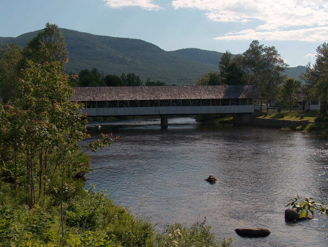 Upper Ammonoosuc RiverCanoeingPhoto: Ken Gallager at English Wikipedia, Public domain (via Wikimedia Commons)4.8 mi
- Rattle River ShelterCamping8.4 mi
- Rogers Ledge Tent SiteCamping8.7 mi
Source: Roamze catalog (indexable pages within 10 miles, PostGIS distance)
 Mount ForestSummit · ~2 min drivePhoto: Jon Platek, CC BY-SA 3.0 (via Wikimedia Commons)
 The HornSummit · ~16 min drivePhoto: Ken Gallager at en.wikipedia, Public domain (via Wikimedia Commons)
 Mount MoriahSummit · ~17 min drivePhoto: AlexiusHoratius, CC BY-SA 3.0 (via Wikimedia Commons)
 Mount JeffersonSummit · ~21 min drivePhoto: Paulbalegend at English Wikipedia, CC BY-SA 3.0 (via Wikimedia Commons)
 South Carter MountainSummit · ~21 min drivePhoto: petersent, Public domain (via Wikimedia Commons)
 Mount WashingtonSummit · ~24 min drivePhoto: wwoods, CC BY-SA 3.0 (via Wikimedia Commons)
 Wildcat MountainSummit · ~25 min drivePhoto: Ken Gallager at en.wikipedia, Public domain (via Wikimedia Commons)
 Mount AdamsSummit · ~18 min drivePhoto: Paulba Legend (talk), CC BY-SA 3.0 (via Wikimedia Commons)
 Mount HightSummit · ~23 min drivePhoto: Ken Gallager at en.wikipedia, Public domain (via Wikimedia Commons)
- Mount JasperSummit · ~3 min drive
Also worth it near here
Best time to visit Jericho Mountain
Best months: August–September. Best months have typical highs of 55–85 °F, lows of 30 °F or warmer (32 °F where the station doesn't record snow), at most one snowy day and no more than 12 wet days.
Jan
25° / 4°
15 wet
Feb
28° / 5°
12 wet
Mar
36° / 15°
12 wet
Apr
49° / 27°
12 wet
May
63° / 39°
15 wet
Jun
71° / 48°
14 wet
Jul
76° / 53°
14 wet
Aug
75° / 51°
12 wet
Sep
68° / 43°
12 wet
Oct
54° / 33°
14 wet
Nov
41° / 24°
13 wet
Dec
30° / 12°
16 wet
Typical high / low (°F) and days with rain or snow, 1991–2020. Measured at York Pond, NH, 6.1 mi away at 1,519 ft. The station sits about 1,000 ft lower than this place, so expect it a little cooler here. This station doesn't record snowfall. Source: NOAA NCEI U.S. Climate Normals 1991–2020.
