Imp Shelter
Campground
Campground · 1.2 mi from the trail
 Photo: AlexiusHoratius, CC BY-SA 3.0 (via Wikimedia Commons)
Closure in the area
There's a closure order in White Mountain National Forest. It doesn't name Mount Moriah, so check the source for the area it covers (3 listed).
Wild River Fire - Androscoggin Ranger District
Agency closure covering White Mountain National Forest · USFS · White Mountain National Forest
List of trail closures post-Hurricane Helene
Park closure covering Appalachian National Scenic Trail · NPS · Appalachian National Scenic Trail
Rattlesnake Fire – Pemigewasset Ranger District
Agency closure covering White Mountain National Forest · USFS · White Mountain National Forest
Black Bears Frequenting the McAfee Knob Area in Virginia
Park alert covering Appalachian National Scenic Trail · NPS · Appalachian National Scenic Trail
Town Hall Road Camping and Fire Restrictions
Agency alert covering White Mountain National Forest · USFS · White Mountain National Forest
As of · Source: USFS · White Mountain National Forest. Agencies don't list every closure — check before you go.
Mount Moriah is a summit in New Hampshire's White Mountain National Forest, within the Androscoggin Ranger District. The Appalachian National Scenic Trail also passes through the area. The nearest town is Gorham, about 5 miles away. The Kenduskeag Trail is about a mile away. Rattle River Shelter is just under 3 miles off, and Wild River Campground and Barnes Field Campground are both a little over 4 miles away.
Imp Shelter
Campground
Museum of White Mountain Art / Jackson Historical Society
Museum
Places © OpenStreetMap contributors
More in North ConwayDaily highs and lows, wind and the chance of precipitation at the summit and route start for the next 7 days, from the Open-Meteo model.
Elevation from USGS 3D Elevation Program terrain data (about 10 m resolution).
| Kenduskeag Trail | Carter-Moriah Trail | |
|---|---|---|
| Climbing | About 1,016 ft | About 3,304 ft |
| Round trip | 2.4 mi | 8.6 mi |
| Difficulty | Moderate | Hard |
| Terrain | Hike | Hike |
4,039 ft (1,231 m).
2: Kenduskeag Trail and Carter-Moriah Trail.
Kenduskeag Trail, about 2.4 mi round trip.

 Kenduskeag TrailHikingPhoto: John Hayes (gravelboy), CC BY 2.0 (via Flickr)1 miKenduskeagHikingPhoto: John Hayes (gravelboy), CC BY 2.0 (via Flickr)1.1 mi
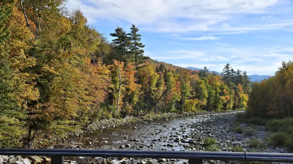 Barnes Field CampgroundCampingPhoto: Recreation.gov (RIDB) / public domain4.3 mi
Source: Roamze catalog (indexable pages within 10 miles, PostGIS distance)
 South Carter MountainSummit · ~7 min drivePhoto: petersent, Public domain (via Wikimedia Commons)
 Wildcat MountainSummit · ~11 min drivePhoto: Ken Gallager at en.wikipedia, Public domain (via Wikimedia Commons)
 South BaldfaceSummit · ~14 min drivePhoto: Ken_Gallager (talk) (Uploads), CC BY-SA 3.0 (via Wikimedia Commons)
 Mount JeffersonSummit · ~16 min drivePhoto: Paulbalegend at English Wikipedia, CC BY-SA 3.0 (via Wikimedia Commons)
 Mount ForestSummit · ~17 min drivePhoto: Jon Platek, CC BY-SA 3.0 (via Wikimedia Commons)
 Mount WashingtonSummit · ~17 min drivePhoto: wwoods, CC BY-SA 3.0 (via Wikimedia Commons)
 Jericho MountainSummit · ~17 min drivePhoto: Sirberlinnh, CC BY-SA 4.0 (via Wikimedia Commons)Mount HightSummit · ~8 min drivePhoto: Ken Gallager at en.wikipedia, Public domain (via Wikimedia Commons)
 Mount AdamsSummit · ~14 min drivePhoto: Paulba Legend (talk), CC BY-SA 3.0 (via Wikimedia Commons)
