Valley Way Campsite
Campground
Campground · 1.0 mi from the trail
 Photo: Paulba Legend (talk), CC BY-SA 3.0 (via Wikimedia Commons)
Closure in the area
There's a closure order in White Mountain National Forest. It doesn't name Mount Adams, so check the source for the area it covers (2 listed).
Wild River Fire - Androscoggin Ranger District
Agency closure covering White Mountain National Forest · USFS · White Mountain National Forest
Rattlesnake Fire – Pemigewasset Ranger District
Agency closure covering White Mountain National Forest · USFS · White Mountain National Forest
Town Hall Road Camping and Fire Restrictions
Agency alert covering White Mountain National Forest · USFS · White Mountain National Forest
Lincoln Woods Trail Closure
Agency alert covering White Mountain National Forest · USFS · White Mountain National Forest
Forest Roads Status
Agency alert covering White Mountain National Forest · USFS · White Mountain National Forest
As of · Source: USFS · White Mountain National Forest. Agencies don't list every closure — check before you go.
Mount Adams is a summit of 5,792 feet in the Great Gulf Wilderness, part of the Androscoggin Ranger District of the White Mountain National Forest in New Hampshire. The nearest town is Gorham, about 7 miles away. Summer is the most comfortable time to go. Typical averages from the nearby Mt Washington weather station, which sits about 475 feet higher, show July highs around 55°F with lows near 44°F and no snow days. Winter is harsh, with January highs around 15°F and about 20 snow days a month from December through February. Lowe's Path and the Spur Trail both start within a third of a mile of the summit. Osgood Tent Site is about 2 miles away, and the WM: Pinkham / Presidentials climbing area is roughly 2.7 miles off.
Valley Way Campsite
Campground
The Glen House
Restaurant
 If it rainsKen Gallager, CC BY-SA 4.0 · Wikimedia Commons
Places © OpenStreetMap contributors · Photos: Ken Gallager, CC BY-SA 4.0 (commons)
More in North ConwayDaily highs and lows, wind and the chance of precipitation at the summit and route start for the next 7 days, from the Open-Meteo model.
Elevation from USGS 3D Elevation Program terrain data (about 10 m resolution).
| Air Line | Adams Slide Trail | Star Lake | Lowe's Path | |
|---|---|---|---|---|
| Climbing | About 4,546 ft | About 2,133 ft | About 1,360 ft | About 3,337 ft |
| Round trip | 7.4 mi | 0.8 mi | 2.0 mi | 4.1 mi |
| Difficulty | Hard | Hard | Moderate | Hard |
| Terrain | Hike | Hike | Hike | Hike |
| Season | Year-round | — | Year-round | — |
5,792 ft (1,765 m).
4: Air Line, Adams Slide Trail, Star Lake and Lowe's Path.
Adams Slide Trail, about 0.8 mi.
Year-round.

 Lowe's PathHikingPhoto: John Hayes (gravelboy), CC BY 2.0 (via Flickr)0.2 mi
 Spur TrailHikingPhoto: Ktr101, CC BY-SA 2.0 (via Flickr)0.3 mi
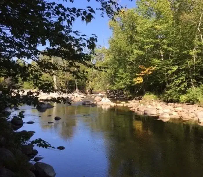 Dolly CoppCampingPhoto: Recreation.gov (RIDB) / public domain3.7 mi
 Israel RiverCanoeingPhoto: Ken Gallager at en.wikipedia, Public domain (via Wikimedia Commons)7.1 mi
 Omni Mount Washington Resort, Bretton WoodsLake fishing9.4 mi
Source: Roamze catalog (indexable pages within 10 miles, PostGIS distance)
Mount JeffersonSummit · ~3 min drivePhoto: Paulbalegend at English Wikipedia, CC BY-SA 3.0 (via Wikimedia Commons) Mount WashingtonSummit · ~6 min drivePhoto: wwoods, CC BY-SA 3.0 (via Wikimedia Commons)
 South Carter MountainSummit · ~10 min drivePhoto: petersent, Public domain (via Wikimedia Commons)
 Wildcat MountainSummit · ~11 min drivePhoto: Ken Gallager at en.wikipedia, Public domain (via Wikimedia Commons)
 Mount MoriahSummit · ~14 min drivePhoto: AlexiusHoratius, CC BY-SA 3.0 (via Wikimedia Commons)
 Mount WebsterSummit · ~17 min drivePhoto: Edison490 at English Wikipedia, Public domain (via Wikimedia Commons)
 Mount WillardSummit · ~17 min drivePhoto: Ken Gallager, CC BY-SA 4.0 (via Wikimedia Commons)
 Jericho MountainSummit · ~18 min drivePhoto: Sirberlinnh, CC BY-SA 4.0 (via Wikimedia Commons)
 Mount HightSummit · ~12 min drivePhoto: Ken Gallager at en.wikipedia, Public domain (via Wikimedia Commons)
No month here meets our mild-weather rule. Best months have typical highs of 55–85 °F, lows of 30 °F or warmer (32 °F where the station doesn't record snow), at most one snowy day and no more than 12 wet days.
Jan
15° / -3°
20 wet · 20 snow
Feb
15° / -3°
18 wet · 18 snow
Mar
21° / 5°
20 wet · 18 snow
Apr
31° / 17°
18 wet · 13 snow
May
42° / 30°
18 wet · 7 snow
Jun
51° / 40°
17 wet · 2 snow
Jul
55° / 44°
17 wet
Aug
54° / 43°
15 wet
Sep
49° / 37°
14 wet · 2 snow
Oct
38° / 25°
18 wet · 9 snow
Nov
28° / 13°
19 wet · 15 snow
Dec
20° / 3°
21 wet · 19 snow
Typical high / low (°F) and days with rain or snow, 1991–2020. Measured at Mt Washington, NH, 3.7 mi away at 6,267 ft. Source: NOAA NCEI U.S. Climate Normals 1991–2020.
