Peboamauk Fall
- 1,749 ft
- elevation
- Aug–Sep
- best months
Peboamauk Fall is a waterfall in New Hampshire's Icegulch Town Forest, managed by the Town of Gorham. It sits at about 1,750 feet, roughly 3.7 miles from the town of Gorham. Summer is the most comfortable time to visit. Typical averages from the nearby York Pond weather station show July highs around 76°F with lows near 53°F, while winter highs stay in the 20s. Several other outings lie close by. Perkins Path and Crescent Ridge Trail are both within about 1.5 miles. The Upper Ammonoosuc River, about 4.4 miles away, offers canoeing, and Barnes Field Campground, about 5.8 miles away, is the closest place to camp.
- Elevation
- 1,749 ft
Elevation from USGS 3D Elevation Program terrain data (about 10 m resolution).
- Perkins PathHiking1.4 mi
- Crescent Ridge TrailHiking1.5 mi
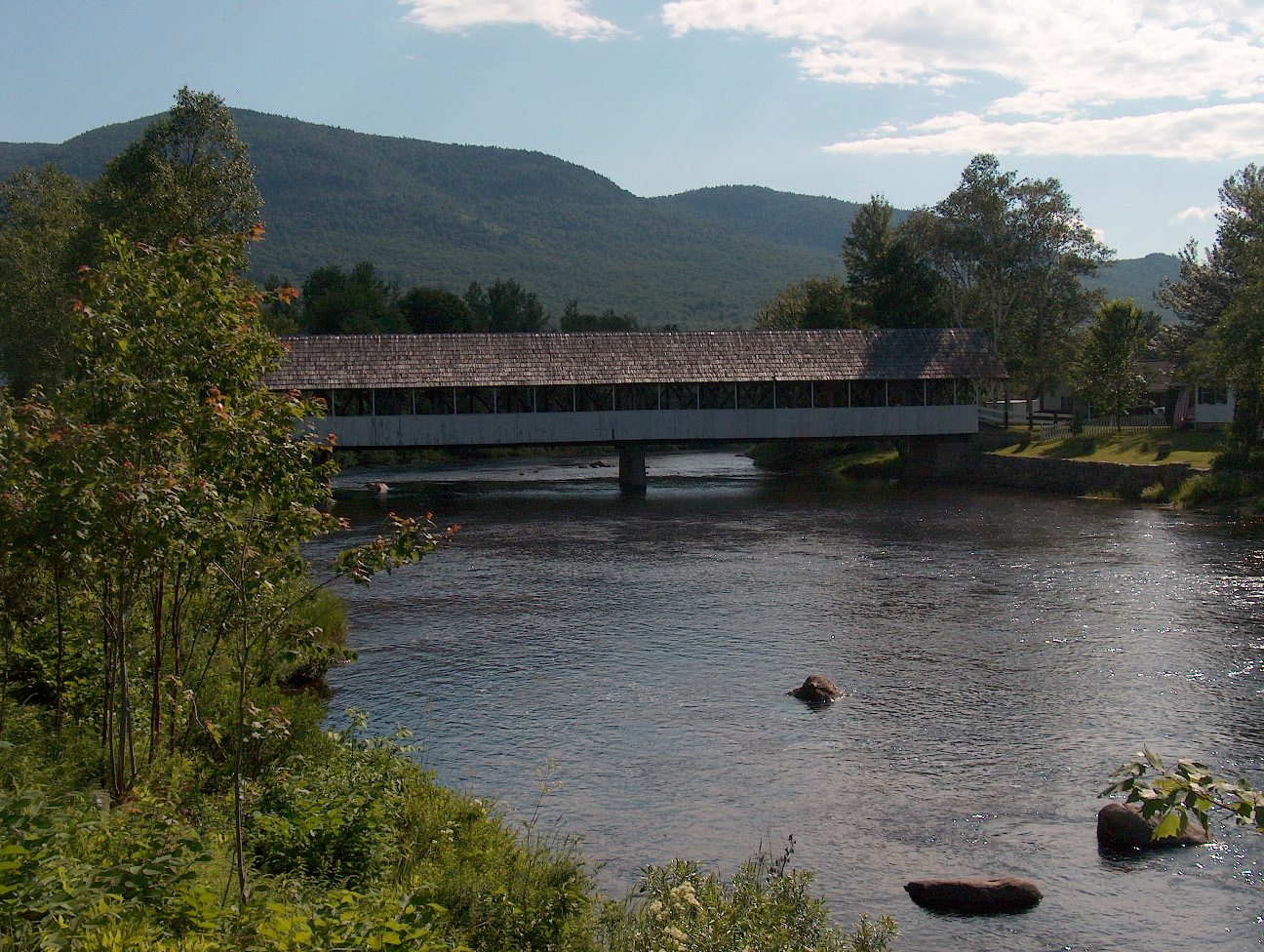 Upper Ammonoosuc RiverCanoeingPhoto: Ken Gallager at English Wikipedia, Public domain (via Wikimedia Commons)4.4 mi
- Pine MountainRock climbing4.4 mi
 Mount ForistRock climbingPhoto: Jon Platek, CC BY-SA 3.0 (via Wikimedia Commons)5.4 mi
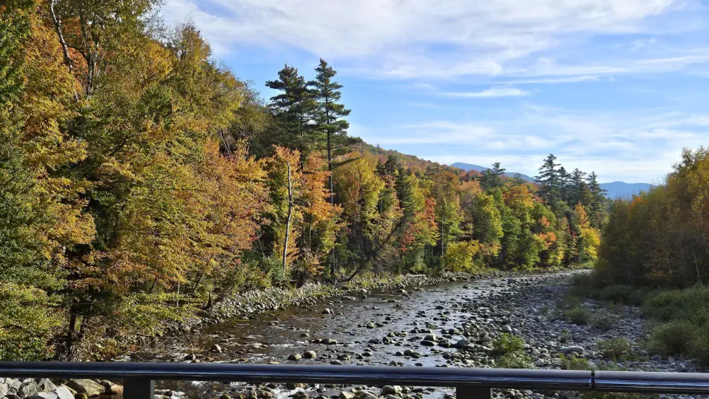 Barnes Field CampgroundCampingPhoto: Recreation.gov (RIDB) / public domain5.8 mi
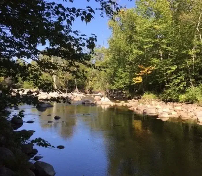 Dolly CoppCampingPhoto: Recreation.gov (RIDB) / public domain6.1 mi
 Israel RiverCanoeingPhoto: Ken Gallager at en.wikipedia, Public domain (via Wikimedia Commons)8.2 mi
Source: Roamze catalog (indexable pages within 10 miles, PostGIS distance)
 Glen Ellis FallsWaterfall · ~20 min drivePhoto: muffinman71xx, CC BY-SA 2.0 (via Wikimedia Commons)
 Arethusa FallsWaterfall · ~33 min drivePhoto: Wgreaves, CC BY-SA 4.0 (via Wikimedia Commons)
- Coosauk FallWaterfall · ~6 min drive
- Triple FallsWaterfall · ~7 min drive
- Giant FallsWaterfall · ~14 min drive
- Dryad FallsWaterfall · ~16 min drive
- Upper FallsWaterfall · ~22 min drive
- Hermit FallsWaterfall · ~25 min drive
- Lower FallsWaterfall · ~26 min drive
- Mad River FallsWaterfall · ~27 min drive
Also worth it near here
 Jericho MountainSummit · ~7 min drivePhoto: Sirberlinnh, CC BY-SA 4.0 (via Wikimedia Commons)
- Upper Ammonoosuc RiverCanoeing · ~8 min drivePhoto: Ken Gallager at English Wikipedia, Public domain (via Wikimedia Commons)
 Watson PathHiking · ~8 min drivePhoto: Ktr101, CC BY-SA 2.0 (via Flickr)
- Mount ForistRock climbing · ~9 min drivePhoto: Jon Platek, CC BY-SA 3.0 (via Wikimedia Commons)
Best time to visit Peboamauk Fall
Best months: August–September. Best months have typical highs of 55–85 °F, lows of 30 °F or warmer (32 °F where the station doesn't record snow), at most one snowy day and no more than 12 wet days.
Jan
25° / 4°
15 wet
Feb
28° / 5°
12 wet
Mar
36° / 15°
12 wet
Apr
49° / 27°
12 wet
May
63° / 39°
15 wet
Jun
71° / 48°
14 wet
Jul
76° / 53°
14 wet
Aug
75° / 51°
12 wet
Sep
68° / 43°
12 wet
Oct
54° / 33°
14 wet
Nov
41° / 24°
13 wet
Dec
30° / 12°
16 wet
Typical high / low (°F) and days with rain or snow, 1991–2020. Measured at York Pond, NH, 7.2 mi away at 1,519 ft. This station doesn't record snowfall. Source: NOAA NCEI U.S. Climate Normals 1991–2020.
