Mountain · 1 route
Mount Randolph
3,067 ft · New Hampshire
- Summit
- 3,067 ft
- Routes
- 1 way up
Route up Mount Randolph
About Mount Randolph
Mount Randolph is a summit in northern New Hampshire, about 6 miles from the town of Gorham. It stands in the hiking country north of the Presidentials, with trail access close to its slopes. Summer and early fall are the most comfortable times to go. The Pinkham Notch weather station, about 10 miles away, typically averages highs near 75°F with lows around 53°F in July, and highs around 68°F in September. That station sits roughly 1,000 feet below the summit, so temperatures on top typically run cooler than those averages suggest. Two trails start within a mile: the Vyron D Lowe Path and the Crescent Ridge Trail, each about 0.7 miles away. For an overnight base, Dolly Copp campground is about 6 miles off. Climbers will find the WM: Pinkham / Presidentials area about 7.5 miles away.
Forecast on Mount Randolph
Daily highs and lows, wind and the chance of precipitation at the summit and route start for the next 7 days, from the Open-Meteo model.
Questions about Mount Randolph
How tall is Mount Randolph?
3,067 ft (935 m).
How many routes go to the summit of Mount Randolph?
One: Crescent Ridge Trail.
Mountains nearby
- Mount Crescent3,255 ft · New Hampshire3 routes1.6 mi away
- Mount Abigail Adams5,343 ft · New Hampshire2 routes4.4 mi away
- Mount Madison5,357 ft · New Hampshire1 route4.6 mi away
 Mount Adams5,792 ft · New Hampshire4 routes4.8 mi awayPhoto: Paulba Legend (talk), CC BY-SA 3.0 (via Wikimedia Commons)
- Mount Waumbek4,010 ft · New Hampshire1 route5.8 mi away
 Mount Jefferson5,708 ft · New Hampshire4 routes5.8 mi awayPhoto: Paulbalegend at English Wikipedia, CC BY-SA 3.0 (via Wikimedia Commons)
Facts about this place
When to go
Best time to go: May–Sep. The mildest months here, with typical highs of 62–75°F and lows of 39–53°F.
Typical monthly averages (not a forecast) from the Pinkham Notch, NH weather station, 9.6 mi away. High / low in °F.
- Jan26° high6° low
- Feb28° high7° low
- Mar36° high15° low
- Apr49° high27° low
- May62° high39° low
- Jun70° high48° low
- Jul75° high53° low
- Aug74° high52° low
- Sep68° high45° low
- Oct54° high35° low
- Nov42° high24° low
- Dec31° high14° low
The station sits about 1,000 ft lower than this spot, so expect it to run cooler up here.
Nearby
- Vyron D Lowe PathHiking0.7 mi
- Crescent Ridge TrailHiking0.7 mi
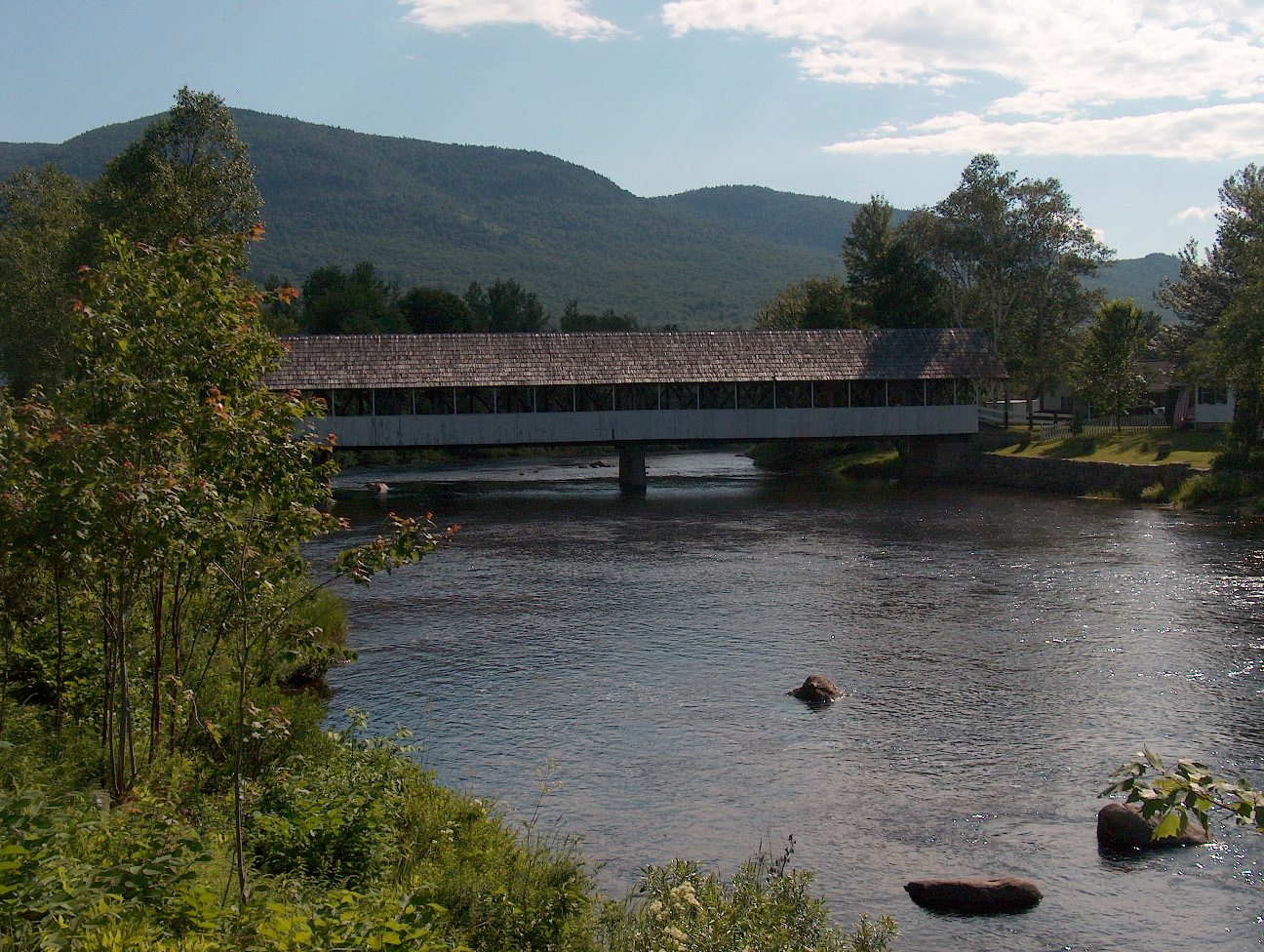
 Israel RiverCanoeingPhoto: Ken Gallager at en.wikipedia, Public domain (via Wikimedia Commons)5.2 mi
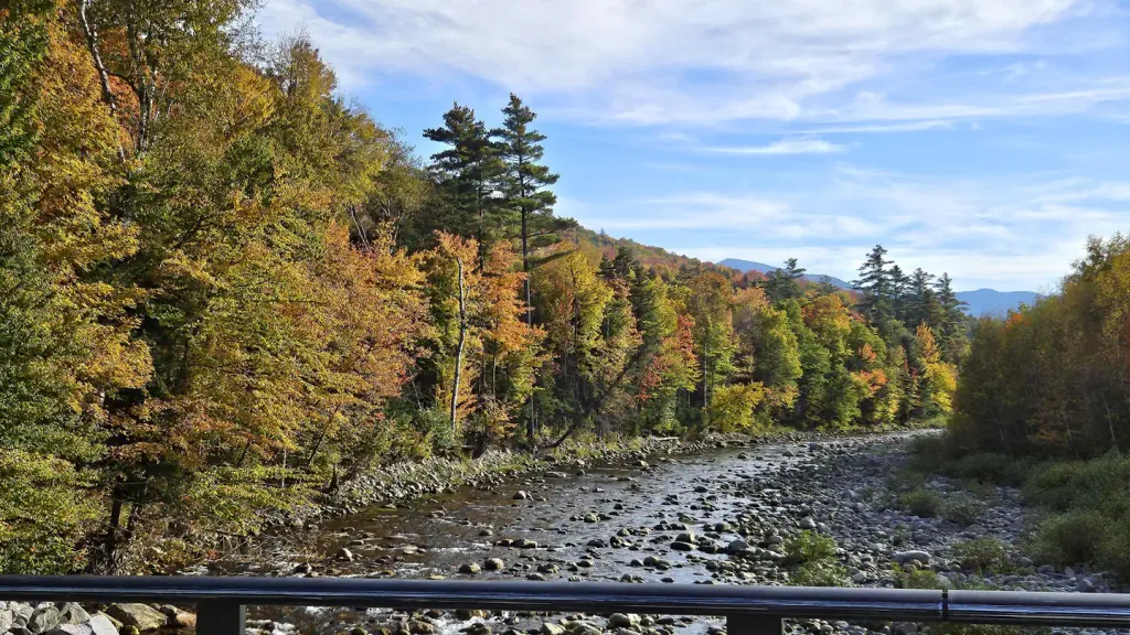
 Upper Ammonoosuc RiverCanoeingPhoto: Ken Gallager at English Wikipedia, Public domain (via Wikimedia Commons)5.3 mi
- Pine MountainRock climbing5.5 mi
 Barnes Field CampgroundCampingPhoto: Recreation.gov (RIDB) / public domain6 mi
 Dolly CoppCampingPhoto: Recreation.gov (RIDB) / public domain6.2 mi
- WM: Pinkham / PresidentialsRock climbing7.5 mi
Source: Roamze catalog (indexable pages within 10 miles, PostGIS distance)
Best time to visit Mount Randolph
Best months: September. Best months have typical highs of 55–85 °F, lows of 30 °F or warmer (32 °F where the station doesn't record snow), at most one snowy day and no more than 12 wet days.
Jan
26° / 6°
14 wet
Feb
28° / 7°
13 wet
Mar
36° / 15°
14 wet
Apr
49° / 27°
13 wet
May
62° / 39°
15 wet
Jun
70° / 48°
14 wet
Jul
75° / 53°
14 wet
Aug
74° / 52°
13 wet
Sep
68° / 45°
12 wet
Oct
54° / 35°
14 wet
Nov
42° / 24°
14 wet
Dec
31° / 14°
16 wet
Typical high / low (°F) and days with rain or snow, 1991–2020. Measured at Pinkham Notch, NH, 9.6 mi away at 2,025 ft. The station sits about 1,000 ft lower than this place, so expect it a little cooler here. This station doesn't record snowfall. Source: NOAA NCEI U.S. Climate Normals 1991–2020.
