The Horn
 Photo: Ken Gallager at en.wikipedia, Public domain (via Wikimedia Commons)
- 3,901 ft
- summit
Is The Horn open right now?
Closure in the area
There's a closure order in White Mountain National Forest. It doesn't name The Horn, so check the source for the area it covers (2 listed).
Wild River Fire - Androscoggin Ranger District
Agency closure covering White Mountain National Forest · USFS · White Mountain National Forest
Rattlesnake Fire – Pemigewasset Ranger District
Agency closure covering White Mountain National Forest · USFS · White Mountain National Forest
Town Hall Road Camping and Fire Restrictions
Agency alert covering White Mountain National Forest · USFS · White Mountain National Forest
Lincoln Woods Trail Closure
Agency alert covering White Mountain National Forest · USFS · White Mountain National Forest
Forest Roads Status
Agency alert covering White Mountain National Forest · USFS · White Mountain National Forest
As of · Source: USFS · White Mountain National Forest. Agencies don't list every closure — check before you go.
The Horn is a summit of about 3,901 feet in Coos County, New Hampshire. It sits within the Androscoggin Ranger District of the White Mountain National Forest, roughly 6.5 miles from the town of Berlin. The closest neighbor is Unknown Pond Tent Site, about 0.9 mile away. Bunnell Notch Trail lies about 1.7 miles off, York Pond about 2.5 miles, and the Mt Cabot Trail about 2.8 miles.
Conditions and forecast
Daily highs and lows, wind and the chance of precipitation at the summit for the next 7 days, from the Open-Meteo model.
- Summit elevation
- 3,901 ft
Elevation from USGS 3D Elevation Program terrain data (about 10 m resolution).
We don't know of a mapped trail or route to the summit of The Horn. Plan the approach with local maps, a guidebook or a local guide, and check conditions before you go.
Questions about The Horn
How tall is The Horn?
3,901 ft (1,189 m).
Is there a trail to the top of The Horn?
We don't know of a mapped trail or route to the summit. Plan the approach with local maps, a guidebook or a local guide.
- Mount Waumbek4,010 ft · New Hampshire1 route6.0 mi away
- Mount Starr King3,913 ft · New Hampshire1 route6.0 mi away
- Mount Crescent3,255 ft · New Hampshire3 routes9.4 mi away
- Prospect Mountain2,064 ft · New Hampshire1 route9.6 mi away
- Mount Randolph3,067 ft · New Hampshire1 route9.8 mi away
- North Percy Peak3,414 ft · New Hampshire1 route10 mi away
- Unknown Pond Tent SiteCamping0.9 mi
- Bunnell Notch TrailHiking1.7 mi
- York PondHiking2.5 mi
- Unknown PondHiking2.5 mi
- Rogers Ledge Tent SiteCamping2.6 mi
- York Pond TrailHiking2.7 mi
- Mt Cabot TrailHiking2.8 mi
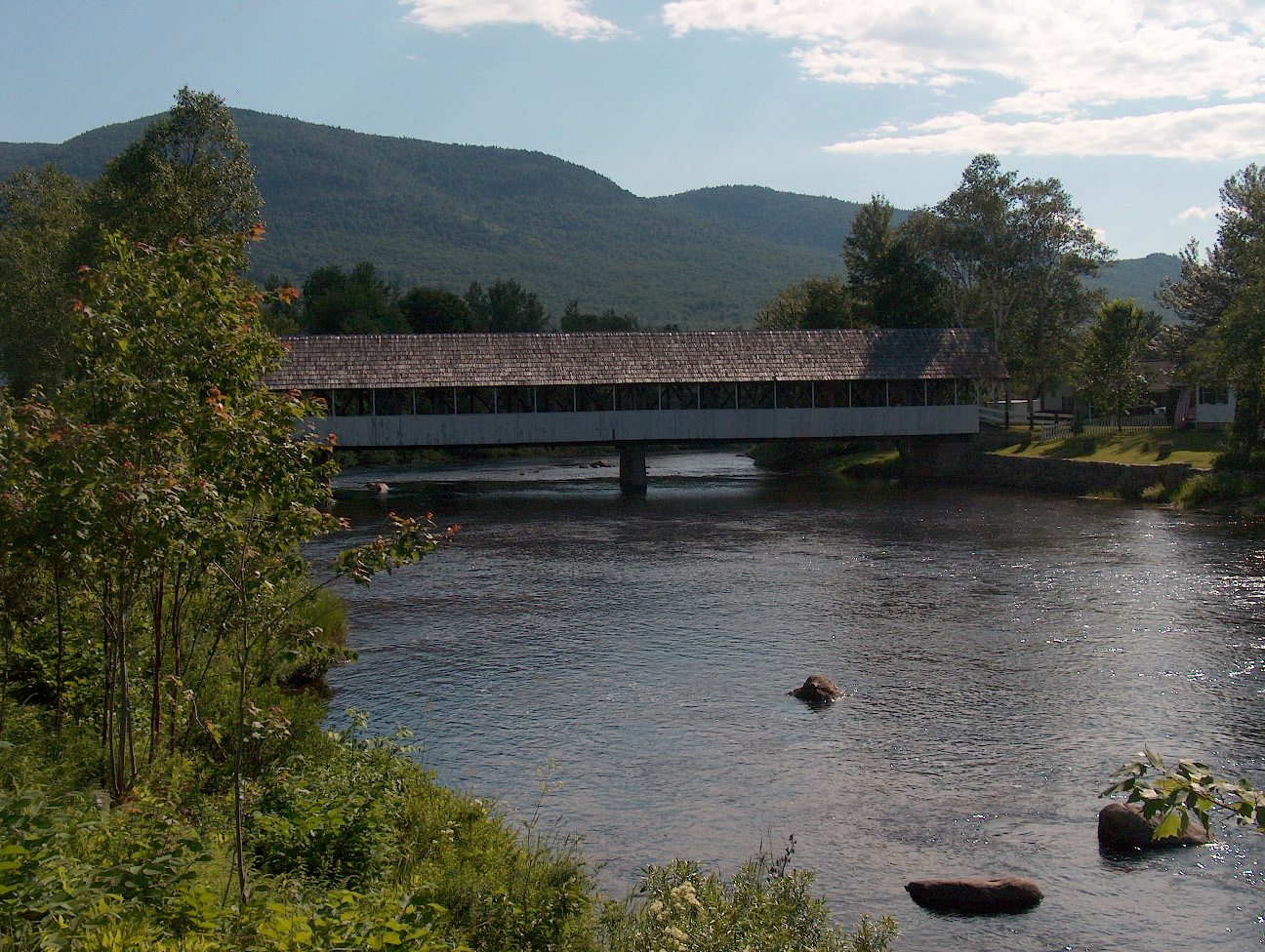 Upper Ammonoosuc RiverCanoeingPhoto: Ken Gallager at English Wikipedia, Public domain (via Wikimedia Commons)5.4 mi
Source: Roamze catalog (indexable pages within 10 miles, PostGIS distance)
 Jericho MountainSummit · ~16 min drivePhoto: Sirberlinnh, CC BY-SA 4.0 (via Wikimedia Commons)
 Mount ForestSummit · ~18 min drivePhoto: Jon Platek, CC BY-SA 3.0 (via Wikimedia Commons)
 Mount JeffersonSummit · ~26 min drivePhoto: Paulbalegend at English Wikipedia, CC BY-SA 3.0 (via Wikimedia Commons)
 Mount WashingtonSummit · ~30 min drivePhoto: wwoods, CC BY-SA 3.0 (via Wikimedia Commons)
 Mount MoriahSummit · ~31 min drivePhoto: AlexiusHoratius, CC BY-SA 3.0 (via Wikimedia Commons)
 South Carter MountainSummit · ~33 min drivePhoto: petersent, Public domain (via Wikimedia Commons)
 Mount AdamsSummit · ~25 min drivePhoto: Paulba Legend (talk), CC BY-SA 3.0 (via Wikimedia Commons)
- Mount WaumbekSummit · ~10 min drive
- Mount Starr KingSummit · ~10 min drive
- Mount CrescentSummit · ~16 min drive
Also worth it near here

