Lower Lehman Trail
 Photo: paulinkenbrandt, CC BY-SA 2.0 (via Flickr)
- 0.5 mi
- round trip
- 233 ft
- climb
- 7,603 ft
- high point
- Out and back
- route
- Apr–Oct
- best months
Is Lower Lehman Trail open right now?
Closure in the area
There's a closure order in Great Basin National Park. It doesn't name Lower Lehman Trail, so check the source for the area it covers.
Wheeler Peak Scenic Drive Winter Closure
Park closure covering Great Basin National Park · NPS · Great Basin National Park
As of · Source: NPS · Great Basin National Park. Agencies don't list every closure — check before you go.
Lower Lehman Trail is a short, easy out-and-back hike in Great Basin National Park in Nevada, managed by the National Park Service. The trail is about a mile long, with a total elevation gain of 233 feet, and it starts and ends at roughly 7,360 feet. The climb is front-loaded, with the steepest stretch at about 0.26 miles in, where the grade reaches 12 percent. The high point on the route is 7,603 feet. The trail is a quick outing, and it is free to hike. Summer is the most comfortable time to go. Typical averages from a nearby weather station show July highs around 85°F with lows near 58°F, while winter highs sit around 40°F. That station sits about 750 feet lower than the trail, so temperatures on the route run cooler. Lehman Creek Trailhead is about 0.8 miles away, and the Mountain View Nature Trail and Osceola Ditch Trail are both within about 1.5 miles. Pole Canyon Trailhead is about 2.3 miles off.
Best time to go · Apr–Oct
Best time to visit Lower Lehman Trail
Best months: April–October. Best months have typical highs of 55–85 °F, lows of 30 °F or warmer (32 °F where the station doesn't record snow), at most one snowy day and no more than 12 wet days.
Jan
40° / 20°
6 wet
Feb
41° / 21°
7 wet
Mar
48° / 27°
7 wet
Apr
55° / 32°
7 wet
May
64° / 40°
7 wet
Jun
76° / 49°
5 wet
Jul
85° / 58°
7 wet
Aug
83° / 56°
7 wet
Sep
73° / 48°
6 wet
Oct
60° / 36°
5 wet
Nov
48° / 26°
6 wet
Dec
40° / 20°
6 wet
Typical high / low (°F) and days with rain or snow, 1991–2020. Measured at Great Basin Np, NV, 1.3 mi away at 6,850 ft. The station sits about 800 ft lower than this place, so expect it a little cooler here. This station doesn't record snowfall. Source: NOAA NCEI U.S. Climate Normals 1991–2020.
Keep exploring — more trails worth the drive
HIKE
Lehman Creek Trailhead
~1 min drive
Lehman Creek Trailhead is located in the Upper Lehman Creek Campground. This trailhead offer access to the Lehman Creek trail. This trailhead also is the point of access for the alpine lakes and bristlecone area during the winter. Parking is limited, please follow all parking…
 Photo: paulinkenbrandt, CC BY-SA 2.0 (via Flickr)
Osceola Ditch Trail
~3 min drive
5.23-mile out-and-back trail in Nevada with 1,375 ft elevation gain.
HIKE
Baker Creek Trailhead
~5 min drive
Located about three miles up the Baker Creek Road, the Baker Creek Trailhead has access to three trails; South Fork Baker trail, Timber Creek Trail, and Baker Lake. These trails venture through aspen groves and pine tree stands up to alpine lakes and meadows. Parking is limit…
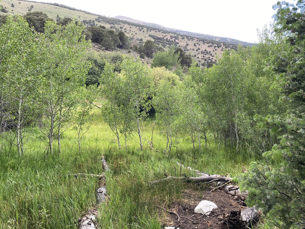 Photo: Ken Lund, CC BY-SA 2.0 (via Flickr)
Timber Creek Trail
~5 min drive
7.22-mile out-and-back trail in Nevada with 3,290 ft gain/loss and a max elevation of 9,859 ft.
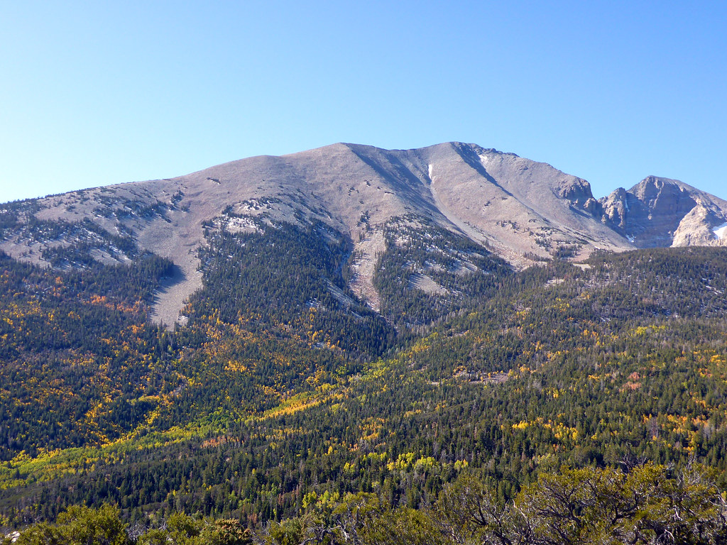 Photo: simonov, CC BY-SA 2.0 (via Flickr)
Osceola Ditch Trail
~3 min drive
Historic out-and-back hike following a scenic Nevada ditch system.
 Photo: Ken Lund, CC BY-SA 2.0 (via Flickr)
Camground Connector Trail
~3 min drive
0.60-mile out-and-back trail in Nevada with 24 ft gain.
 Photo: Seth Tisue, CC BY-SA 2.0 (via Flickr)
Wheeler Peak
~6 min drive
Standard route to Wheeler Peak (13,065 ft) from Summit.
HIKE
Johnson Lake Trail
~10 min drive
7.74-mile out-and-back trail in Nevada with 3,206 ft elevation gain
 Photo: Seth Tisue, CC BY-SA 2.0 (via Flickr)
Osceola Ditch Trailhead
~3 min drive
The Osceola Ditch Trailhead is located about 4.5 miles up the Wheeler Peak Scenic Drive. The Osceola Ditch Trail follows the path of a historic mining ditch used to carry water from Lehman Creek to the mining boomtown of Osceola. Due to trail damage resulting from the 2016 Str…
HIKE
Pole Canyon Trailhead
~4 min drive
Pole Canyon Trailhead located near the Grey Cliff Campground. This trailhead offers access to the Pole Canyon Trail. This trail goes through meadows and over low mountain passes. Offering great views of Snake valley and aspen groves this trail is a great choice for hike any ti…

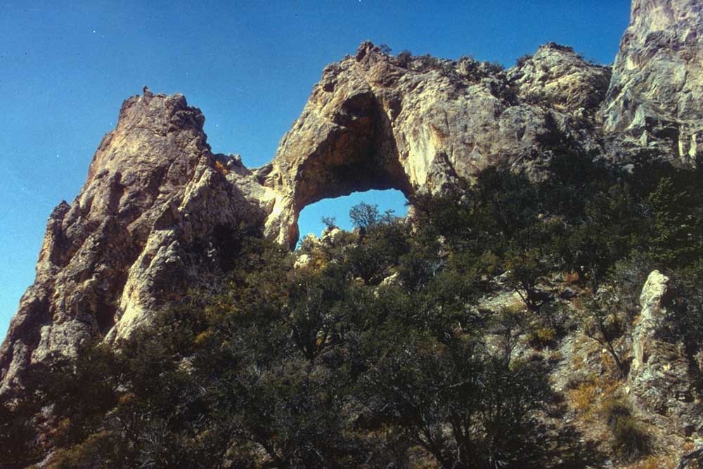
Map and trail data © OpenStreetMap contributors
