Loading…

Free — you'll pick up right here.
Watch this trail
Sign up to watch it — saving subscribes you to gate, closure and report changes.
Nevada
17.2 mi
Distance
4,658 ft
Gain
8h 4m
Time
We won't guess. Here is exactly what we do and don't know.
What we do know
Inside Humboldt-Toiyabe National Forest
2 managing-area boundaries mapped — agency alerts for them feed this page automatically.
Boundary data
What's missing
No access route mapped
We don't yet know which road reaches this trailhead, so we can't tell you if it's gated.
Nobody's filed a report here yet — be the first.
Why you'll love it
Hendrys Creek
AI-suggested draft · review before you go
No permit or access details on file for this trail — check with the local land manager before you go.
Hendrys Creek is a challenging high-elevation trail offering nearly 4,700 feet of elevation gain over 17.2 miles, making it a demanding but rewarding adventure for experienced hikers. This expert-level route traverses the rugged terrain of the Nevada backcountry, likely featuring alpine meadows, creek crossings, and expansive mountain vistas. The substantial elevation gain and distance demand strong fitness and navigation skills, with the creek corridor providing water access and scenic canyon features throughout the journey.
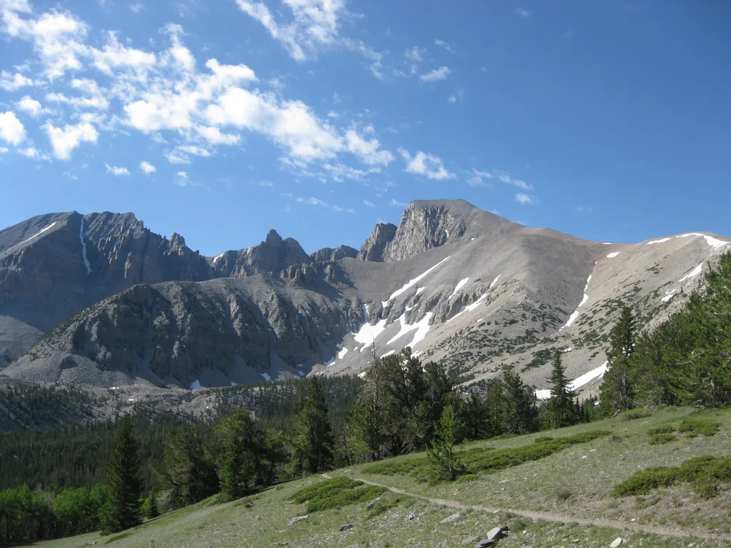
Summit Trailhead
~31 min drive
The Summit Trailhead gives access to the Wheeler Summit Trail. This trail leads to the summit of Wheeler Peak, over 4.2 miles one way. This trail is considered strenuous and hikers should be prepared for a steep and exposed hike. Thunderstorms and high winds are common. Durin…
Hampton Creek
~3 min drive
Challenging 10.25-mile mountain hike with 3,504 ft elevation gain.
Hendrys Creek
~9 min drive
Easy creek-side hike with modest elevation gain near Hendrys Creek, Nevada.
Big Canyon
~14 min drive
Steep 4-mile canyon hike with 1,308 ft elevation gain near Big Canyon, Nevada.
Wheeler Peak
~31 min drive
Standard route to Wheeler Peak (13,065 ft) from Summit.
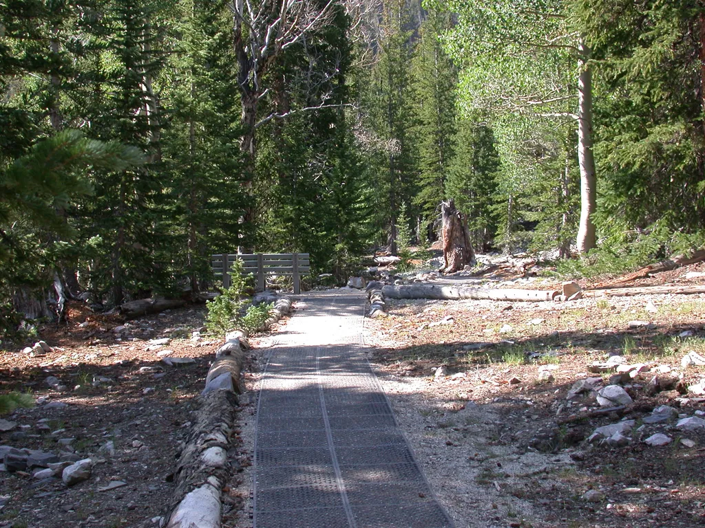
Bristlecone Trailhead
~31 min drive
Bristlecone Trailhead is located at the end of Wheeler Peak Scenic Drive. This is one of the most popular trailheads at Great Basin National Park. The Wheeler Peak Bristlecone Grove is a 1.4-mile hike from the trailhead. This trailhead also offers access to the Sky Island Fore…
Mt. Moriah
~10 min drive
Steep alpine climb with nearly 1,000 ft gain in under 2.5 miles.
Main Fork Creek Trail
~14 min drive
Easy 1.14-mile creek walk with minimal elevation gain.
Negro Creek
~18 min drive
4-mile out-and-back trail in Nevada with 846 ft elevation gain. Moderate difficulty.
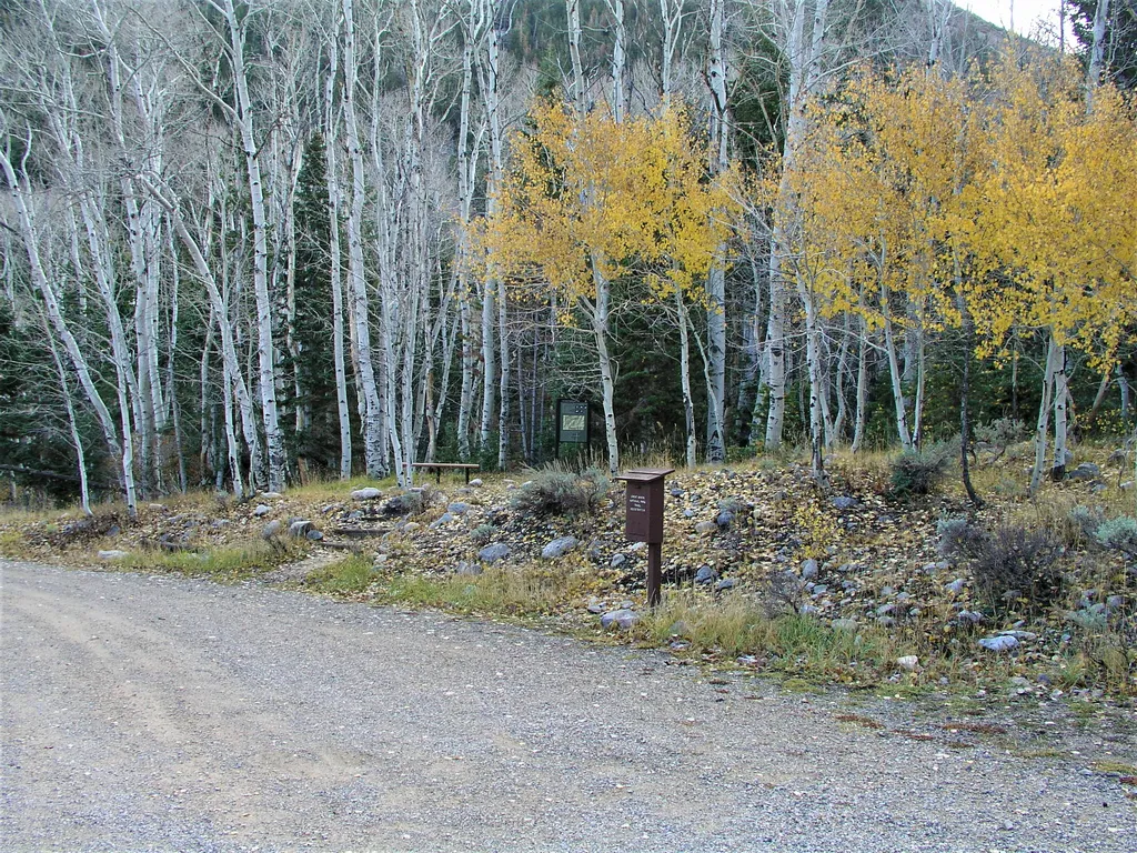
Baker Creek Trailhead
~32 min drive
Located about three miles up the Baker Creek Road, the Baker Creek Trailhead has access to three trails; South Fork Baker trail, Timber Creek Trail, and Baker Lake. These trails venture through aspen groves and pine tree stands up to alpine lakes and meadows. Parking is limit…