Red Rock Canyon Campground
Campground
Sites open the weekend of Dec 4 on Recreation.gov
 Photo: Ken Lund, CC BY-SA 2.0 (via Flickr)
S Oak Creek Canyon is a 3.65-mile out-and-back hike on Bureau of Land Management land in Nevada's Red Rock/Sloan Field Office, about 4 miles from Red Rock Canyon Campground. The trail rises about 385 feet from a low point of 3,710 feet to a high of 4,144 feet. Spring and fall are the most comfortable times to go. Typical averages from a nearby weather station show May highs around 80°F and October highs around 75°F, while July averages about 95°F. The trail is natural-surfaced and rated moderate. Horses are allowed, but bikes are not. Shadow of Mount Wilson, First Creek Canyon and Valley Trail all lie within about a mile. The Mt. Wilson climbing area is about 1.6 miles away.
Red Rock Canyon Campground
Campground
Places © OpenStreetMap contributors
More in Sandy ValleyShadow of Mount WilsonHikingPhoto: Ken Lund, CC BY-SA 2.0 (via Flickr)0.4 mi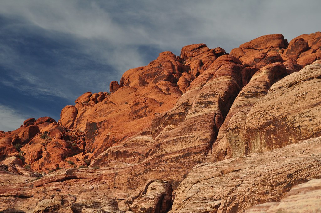 First Creek CanyonHikingPhoto: lsiegert, CC BY 2.0 (via Flickr)0.6 mi
 Valley TrailHikingPhoto: christie_verbose, CC BY 2.0 (via Flickr)0.7 mi
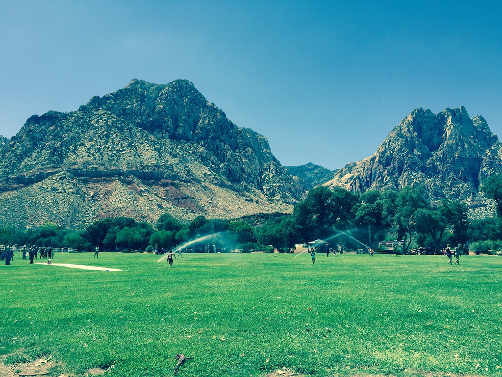 South Ash Grove LoopHikingPhoto: christie_verbose, CC BY 2.0 (via Flickr)1.5 mi
 Mt. WilsonRock climbingPhoto: Jarek Tuszyński, CC BY-SA 4.0 (via Wikimedia Commons)1.6 mi
 Silly Patch BouldersRock climbingPhoto: Sean Williams 297, CC BY 2.0 (via Flickr)1.6 mi
 The SchoolyardRock climbingPhoto: christie_verbose, CC BY 2.0 (via Flickr)1.7 mi
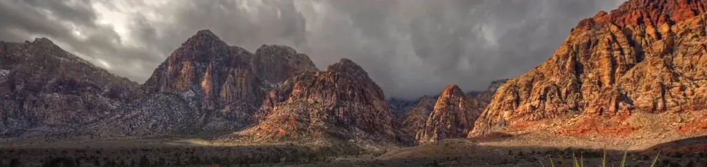 Red Rock Canyon CampgroundCampingPhoto: Recreation.gov (RIDB) / public domain4.6 mi
Source: Roamze catalog (indexable pages within 10 miles, PostGIS distance)
Shadow of Mount WilsonHiking · Next doorPhoto: Ken Lund, CC BY-SA 2.0 (via Flickr)First Creek CanyonHiking · Next doorPhoto: lsiegert, CC BY 2.0 (via Flickr)Valley TrailHiking · ~1 min drivePhoto: christie_verbose, CC BY 2.0 (via Flickr)KnollHiking · ~3 min drivePhoto: Sean Williams 297, CC BY 2.0 (via Flickr)South Ash Grove LoopHiking · ~3 min drivePhoto: christie_verbose, CC BY 2.0 (via Flickr)Escarpment BaseHiking · ~4 min drivePhoto: Sean Williams 297, CC BY 2.0 (via Flickr) ValleyHiking · ~3 min drivePhoto: iPhone Photography, CC BY 3.0 (via Wikimedia Commons)
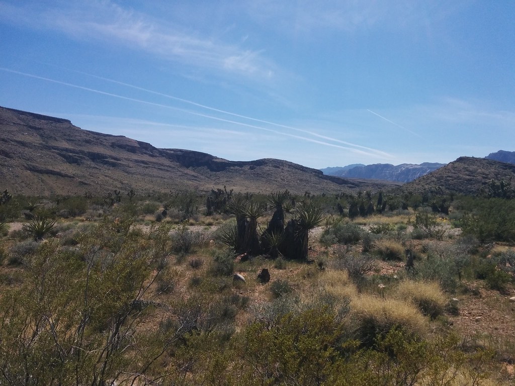 Brokeback MountainHiking · ~4 min drivePhoto: Lukáš Lalinský, CC BY-SA 2.0 (via Flickr)
 Arnight TrailHiking · ~3 min drivePhoto: joannapoe, CC BY-SA 2.0 (via Flickr)
Also worth it near here
Best months: February–May and October–November. Best months have typical highs of 55–85 °F, lows of 30 °F or warmer (32 °F where the station doesn't record snow), at most one snowy day and no more than 12 wet days.
Jan
53° / 32°
4 wet
Feb
56° / 35°
5 wet
Mar
64° / 41°
4 wet
Apr
70° / 47°
2 wet
May
80° / 56°
1 wet
Jun
90° / 66°
1 wet
Jul
95° / 73°
2 wet
Aug
94° / 72°
2 wet
Sep
87° / 62°
2 wet
Oct
75° / 50°
2 wet
Nov
62° / 38°
2 wet
Dec
52° / 31°
3 wet
Typical high / low (°F) and days with rain or snow, 1991–2020. Measured at Red Rock Canyon - Spg Mt Rch S, NV, 1.6 mi away at 3,780 ft. This station doesn't record snowfall. Source: NOAA NCEI U.S. Climate Normals 1991–2020.


