Red Rock Canyon Campground
Campground
Sites open the weekend of Nov 13 on Recreation.gov
Descent Black Velvet Peak is a hard, 2.5-mile out-and-back hike in Nevada's Rainbow Mountain Wilderness, within the BLM's Red Rock/Sloan Field Office. The trail climbs from about 5,983 feet to a high point of 6,198 feet and descends back to a low point of 4,035 feet, for a total gain and loss of about 4,232 feet over the round trip. The most comfortable months for the trip are June through September. Typical averages from a nearby weather station show June highs around 74°F and September highs near 72°F, with July and August peaking in the upper 70s. That station sits about 1,260 feet higher than the trail's low point, so temperatures on the lower end of the route run warmer than those figures. The climb to Black Velvet Peak sits just 0.1 mile from the Black Velvet Wall and the Texas Wall / West Velvet Wall climbing areas. Lil' Daytona, a mountain biking route, lies about 1.8 miles away, and the Old Spanish Trail is about 2.2 miles out.
Red Rock Canyon Campground
Campground
Maria's Taco Shop
Fast food
Places © OpenStreetMap contributors
More in Sandy ValleyBest months: May–October. Best months have typical highs of 55–85 °F, lows of 30 °F or warmer (32 °F where the station doesn't record snow), at most one snowy day and no more than 12 wet days.
Jan
44° / 22°
6 wet
Feb
44° / 22°
6 wet
Mar
49° / 26°
6 wet
Apr
55° / 30°
4 wet
May
63° / 37°
4 wet
Jun
74° / 46°
2 wet
Jul
79° / 52°
5 wet
Aug
78° / 52°
6 wet
Sep
72° / 44°
4 wet
Oct
62° / 35°
3 wet
Nov
51° / 27°
4 wet
Dec
44° / 21°
5 wet
Typical high / low (°F) and days with rain or snow, 1991–2020. Measured at Mt Charleston Fire Stn, NV, 18.4 mi away at 7,460 ft. The station sits about 1,300 ft higher than this place, so expect it a little warmer here. This station doesn't record snowfall. Source: NOAA NCEI U.S. Climate Normals 1991–2020.
 Photo: Ken Lund from Reno, Nevada, USA, CC BY-SA 2.0 (via Wikimedia Commons)
Old Spanish Trail
~4 min drive
0.66-mile out-and-back hike on Old Spanish Trail in Nevada with 90 ft of elevation gain.
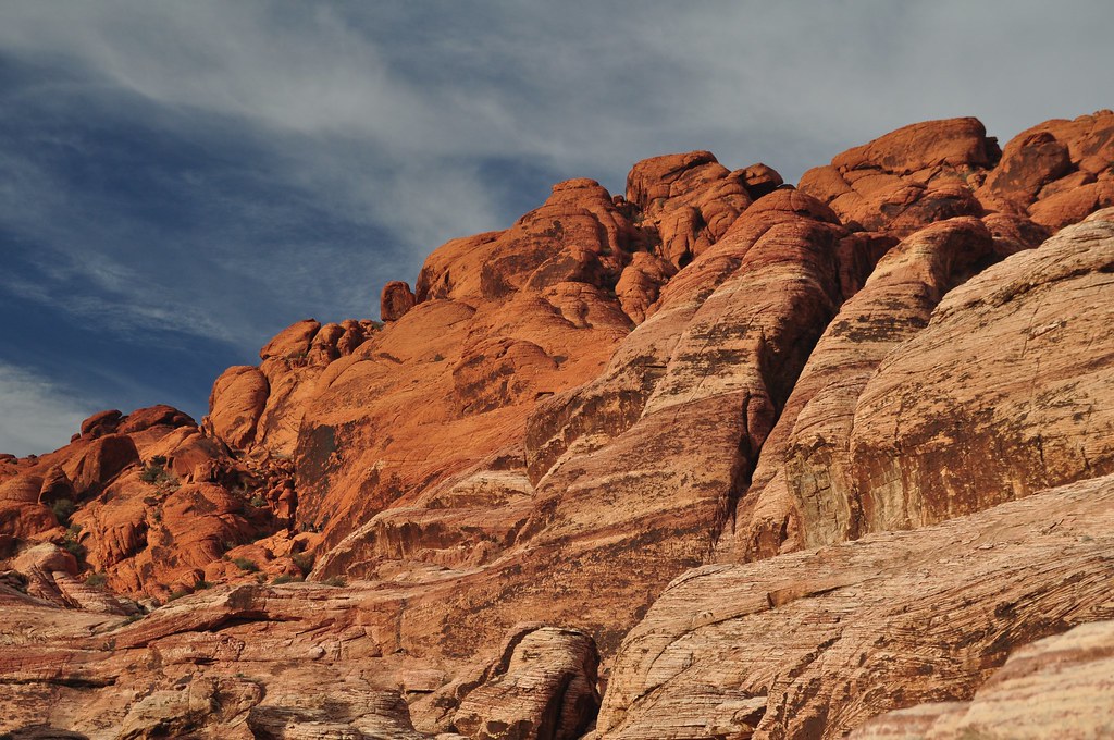 Photo: lsiegert, CC BY 2.0 (via Flickr)
First Creek Canyon
~6 min drive
3.89-mile out-and-back trail in Nevada with 537 ft of elevation gain.
Photo: Ken Lund from Reno, Nevada, USA, CC BY-SA 2.0 (via Wikimedia Commons)Old Spanish Trail
~4 min drive
0.72-mile out-and-back trail in Nevada with 78 ft of elevation gain.
 Photo: Ken Lund, CC BY-SA 2.0 (via Flickr)
S Oak Creek Canyon
~7 min drive
3.65-mile out-and-back trail in Nevada's S Oak Creek Canyon with 385 ft gain.
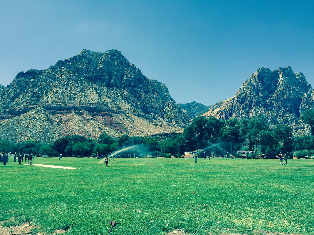 Photo: christie_verbose, CC BY 2.0 (via Flickr)
South Ash Grove Loop
~4 min drive
Easy loop through Nevada ash grove habitat.
 Photo: planeta, CC BY-SA 2.0 (via Flickr)
WILDERNESS TRAIL
~8 min drive
8.46-mile out-and-back trail in Nevada with 699 ft elevation gain.
 Photo: christie_verbose, CC BY 2.0 (via Flickr)
Valley Trail
~6 min drive
1.6-mile out-and-back trail in Nevada with 96 ft elevation gain
 Photo: Sean Williams 297, CC BY 2.0 (via Flickr)
Knoll
~8 min drive
Knoll is a 3.57-mile out-and-back trail in Nevada with 138 ft of elevation gain.
Photo: Ken Lund, CC BY-SA 2.0 (via Flickr)Shadow of Mount Wilson
~6 min drive
0.99-mile out-and-back trail in Nevada with 309 ft elevation gain.
Photo: Sean Williams 297, CC BY 2.0 (via Flickr)Escarpment Base
~8 min drive
4.81-mile out-and-back trail in Nevada with 515 ft elevation gain.
Map and trail data © OpenStreetMap contributors


