Old California Trail
 Photo: Jürgen Regel, Marian…, CC BY 3.0 (via Wikimedia Commons)
- 19.0 mi
- round trip
- 162 ft
- climb
- 4,536 ft
- high point
- Out and back
- route
- Apr–May, Oct
- best months
Old California Trail is a long, hard out-and-back hike in northern Nevada, on Bureau of Land Management land within the Humboldt River Field Office. The route is about 38 miles long, and the elevation gain is small at 162 feet for the whole trip, which makes the trail a matter of distance rather than climb. The trail starts and ends at nearly the same elevation, around 4,475 feet, and the high point is 4,536 feet. The route is flat, so the challenge is the length, not the grade. Because of the trip's scale, plan on about 13 hours to complete it. For the most comfortable conditions, aim for late spring or early fall. Typical averages from a nearby weather station at Battle Mountain show May highs around 78°F and September highs around 87°F. Midsummer is hot, with July highs near 100°F, and winter brings lows in the low 20s and a few snowy days a month from December through February. Nearby, the Copper Basin Mtn. Bike Trail's Loop 2 - Limestone Wash Extension and Loop 3 - Long Canyon Loop are both within about 9 miles and make good add-ons to a trip out this way.
- Copper Basin Mtn. Bike Trail - Loop 2 - Limestone Wash ExtensionHiking8.8 mi
- Copper Basin Mtn. Bike Trail - Loop 3 - Long Canyon LoopHiking9.1 mi
Source: Roamze catalog (indexable pages within 10 miles, PostGIS distance)
 Water Canyon TrailHiking · ~55 min drivePhoto: Ken Lund, CC BY-SA 2.0 (via Flickr)
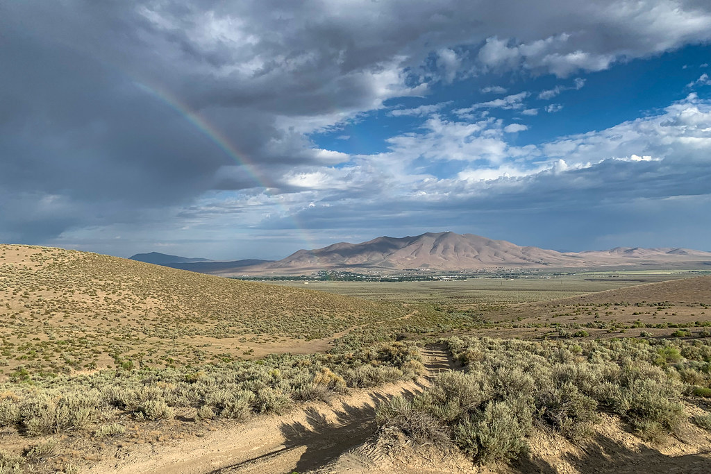 Mountain ViewHiking · ~58 min drivePhoto: Doug Letterman, CC BY 2.0 (via Flickr)
- Copper Basin Mtn. Bike Trail - Loop 3 - Long Canyon LoopHiking · ~16 min drive
 Moose Head Mine TrailHiking · ~57 min drivePhoto: Ken Lund, CC BY-SA 2.0 (via Flickr)
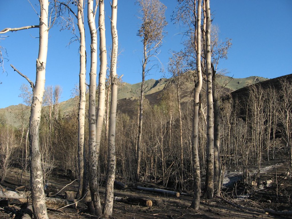 Water Canyon Overlook TrailHiking · ~58 min drivePhoto: Ken Lund, CC BY-SA 2.0 (via Flickr)
- Sonoma Crest TrailHiking · ~53 min drive
 Pole Line TrailHiking · ~1h 10m drivePhoto: Matt Lavin, CC BY-SA 2.0 (via Flickr)
- Water Canyon-Bloody Shins ConnectorHiking · ~59 min drivePhoto: Doug Letterman, CC BY 2.0 (via Flickr)
- Upper Mountain TrailHiking · ~1h 11m drive
- Copper Basin Mtn. Bike Trail - Loop 4 - The PlaygroundHiking · ~19 min drive
Best time to visit Old California Trail
Best months: April–May and October. Best months have typical highs of 55–85 °F, lows of 30 °F or warmer (32 °F where the station doesn't record snow), at most one snowy day and no more than 12 wet days.
Jan
46° / 22°
8 wet · 3 snow
Feb
52° / 26°
7 wet · 2 snow
Mar
62° / 31°
8 wet · 2 snow
Apr
68° / 36°
7 wet · 1 snow
May
78° / 44°
7 wet
Jun
89° / 50°
4 wet
Jul
100° / 56°
2 wet
Aug
98° / 53°
2 wet
Sep
87° / 45°
3 wet
Oct
73° / 34°
4 wet
Nov
57° / 27°
6 wet · 2 snow
Dec
46° / 22°
7 wet · 3 snow
Typical high / low (°F) and days with rain or snow, 1991–2020. Measured at Battle Mountain 4se, NV, 13.1 mi away at 4,505 ft. Source: NOAA NCEI U.S. Climate Normals 1991–2020.

Map and trail data © OpenStreetMap contributors
