Mullen Canyon Trail
- 2.6 mi
- round trip
- 1,941 ft
- climb
- 6,447 ft
- high point
- Out and back
- route
Mullen Canyon Trail is a 5.2-mile out-and-back hike in Nevada, about 8.6 miles from the town of Winnemucca. The trail starts at 4,937 feet and climbs to 6,447 feet, with a total elevation gain of 1,941 feet. The route is rolling, and the steepest stretch comes at about 2.5 miles in, where the grade reaches 26 percent. The climb is moderate, and the round trip takes about 2.5 hours. The trail is a straightforward, single-destination outing. The high point is the peak of the climb, and the route folds back on itself, so the total gain and loss are the same. Plan for a day on foot rather than a quick stop, and expect the most comfortable weather in late spring or early fall. Nearby, Clear Creek offers canoeing about 3.7 miles away. The Sonoma Creek Access Trail and the Sonoma Crest Trail are both within about 6 miles, and the Moose Head Mine Trail is a little farther out.
- Clear CreekCanoeing3.7 mi
- Sonoma Creek Access TrailHiking4.2 mi
- Sonoma Crest TrailHiking5.9 mi
- Somoma Peak TrailHiking6.1 mi
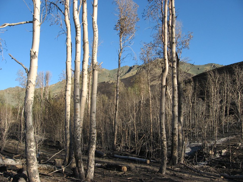 Water Canyon Overlook TrailHikingPhoto: Ken Lund, CC BY-SA 2.0 (via Flickr)6.2 mi
 Nature TrailHikingPhoto: Ken Lund, CC BY-SA 2.0 (via Flickr)6.2 mi
- Water Canyon-Bloody Shins ConnectorHikingPhoto: Ken Lund, CC BY-SA 2.0 (via Flickr)6.2 mi
 Moose Head Mine TrailHikingPhoto: Ken Lund, CC BY-SA 2.0 (via Flickr)6.2 mi
Source: Roamze catalog (indexable pages within 10 miles, PostGIS distance)
- Water Canyon Overlook TrailHiking · ~11 min drivePhoto: Ken Lund, CC BY-SA 2.0 (via Flickr)
- Moose Head Mine TrailHiking · ~11 min drivePhoto: Ken Lund, CC BY-SA 2.0 (via Flickr)
 Old California TrailHiking · ~1h 1m drivePhoto: Jürgen Regel, Marian…, CC BY 3.0 (via Wikimedia Commons)
- Summit TrailHiking · ~1h 16m drive
- Nature TrailHiking · ~11 min drivePhoto: Ken Lund, CC BY-SA 2.0 (via Flickr)
 Water Canyon TrailHiking · ~11 min drivePhoto: Ken Lund, CC BY-SA 2.0 (via Flickr)
- Copper Basin Mtn. Bike Trail - Loop 3 - Long Canyon LoopHiking · ~1h 5m drive
- Water Canyon-Bloody Shins ConnectorHiking · ~11 min drivePhoto: Ken Lund, CC BY-SA 2.0 (via Flickr)
 Pole Line TrailHiking · ~18 min drivePhoto: Matt Lavin, CC BY-SA 2.0 (via Flickr)
- Andorno CreekHiking · ~1h 10m drive
Map and trail data © OpenStreetMap contributors
