Marlette Dam
 Photo: Ken Lund, CC BY-SA 2.0 (via Flickr)
- 1.4 mi
- round trip
- 209 ft
- climb
- 7,999 ft
- high point
- Out and back
- route
Marlette Dam is an easy, out-and-back hike of about 1.4 miles in the Lake Tahoe Basin Management Unit, managed by the Forest Service. The trail rises about 209 feet from a low point of 7,794 feet to a high of 7,999 feet, and its natural surface makes it a straightforward walk for anyone comfortable on foot. Summer is the most comfortable time to go. Typical averages from the Dagget Pass weather station, about 13 miles away, show July highs near 75°F with lows around 49°F and only about two wet days, while winter highs sit in the mid-30s. The trail sits close to other options. The Marlette Creek Trail and Marlette Dam Road lie within a mile, and climbers can head to East Face, about 2.2 miles away. Washoe Lake State Park Campground is roughly 8.4 miles off.
Local outfitters
- Alpenglow Expeditions17 mi away
Not on Roamze yet. Their page has how to reach them.
- Marlette Creek TrailMountain biking0.2 mi
- Marlette Trail or Bear MtnMountain biking0.3 mi
- Marlette Dam RoadMountain biking0.6 mi
- East FaceRock climbing2.2 mi
- South FaceRock climbing2.2 mi
- Lake Tahoe - North ShoreLake fishing7.7 mi
- Carson Ranger District OfficeLake fishing7.8 mi
- Washoe Lake State Park CampgroundCamping8.4 mi
Source: Roamze catalog (indexable pages within 10 miles, PostGIS distance)
 Marlette Trail or Bear MtnHiking · ~1 min drivePhoto: Ken Lund, CC BY-SA 2.0 (via Flickr)
- Chimney Beach TrailHiking · ~1 min drivePhoto: Ken Lund, CC BY-SA 2.0 (via Flickr)
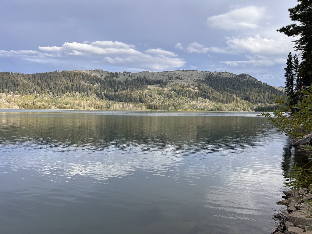 Hobart RdHiking · ~1 min drivePhoto: Ken Lund, CC BY-SA 2.0 (via Flickr)
 Chimney Beach TrailHiking · ~2 min drivePhoto: Ken Lund, CC BY-SA 2.0 (via Flickr)
- North Canyon TrailHiking · ~1 min drivePhoto: Ken Lund, CC BY-SA 2.0 (via Flickr)
- Marlette Lake Dam RdHiking · ~1 min drivePhoto: Ken Lund, CC BY-SA 2.0 (via Flickr)
 North Canyon Rim Trail ConnectorHiking · ~3 min drivePhoto: simonov, CC BY-SA 2.0 (via Flickr)
 Capital to TahoeHiking · ~8 min drivePhoto: jfdervin, CC BY-SA 2.0 (via Flickr)
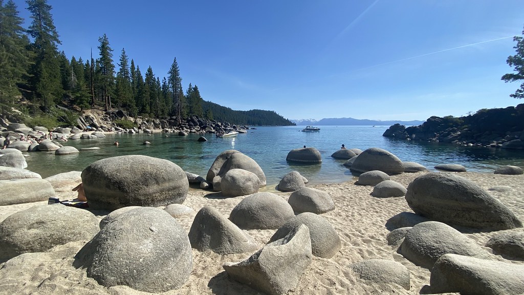 Chimney BeachHiking · ~3 min drivePhoto: lamblukas, CC BY 2.0 (via Flickr)
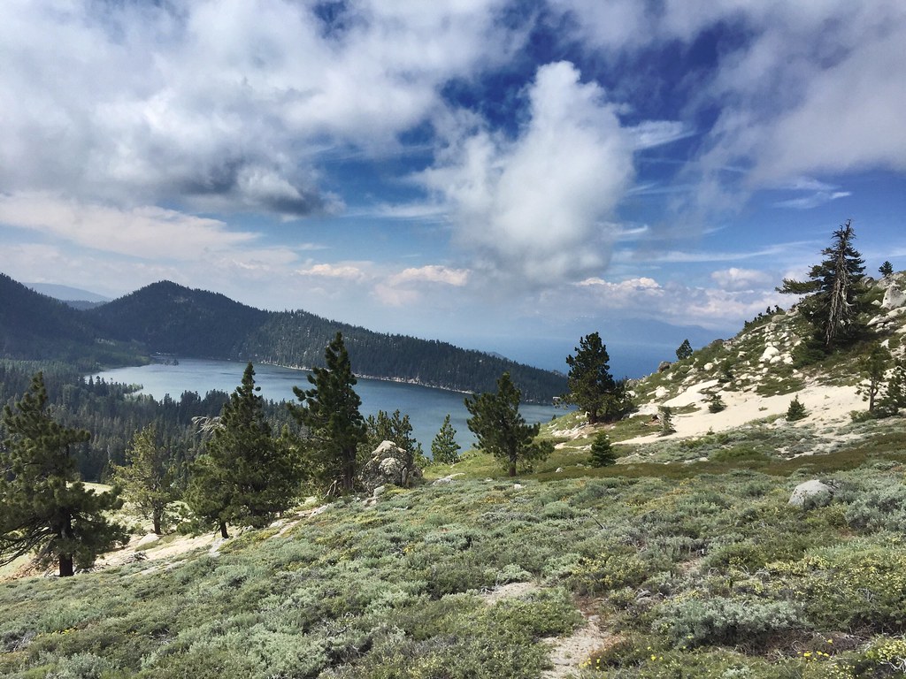 Sunflower Hill TrailHiking · ~3 min drivePhoto: jfdervin, CC BY-SA 2.0 (via Flickr)

