Marlette Peak Campground
Campground
Campground · 1.6 mi from the trail
Closure in the area
There's a closure order in Lake Tahoe Basin Management Unit. It doesn't name Marlette Dam Road, so check the source for the area it covers.
Harmful Algal Blooms
Agency closure covering Lake Tahoe Basin Management Unit · USFS · Lake Tahoe Basin Management Unit
Desolation Wilderness Food and Refuse Storage (Bear Canister) Restriction
Agency alert covering Lake Tahoe Basin Management Unit · Order 19-25-06 · USFS · Lake Tahoe Basin Management Unit
Meyers Landfill Area Closure
Agency alert covering Lake Tahoe Basin Management Unit · Order 19-25-01 · USFS · Lake Tahoe Basin Management Unit
Campfire Restrictions
Agency alert covering Lake Tahoe Basin Management Unit · Order 19-24-04 · USFS · Lake Tahoe Basin Management Unit
Camping/Overnight Stay Restriction
Agency alert covering Lake Tahoe Basin Management Unit · Order 19-24-05 · USFS · Lake Tahoe Basin Management Unit
As of · Source: USFS · Lake Tahoe Basin Management Unit. Agencies don't list every closure — check before you go.
Marlette Dam Road is an easy mountain biking route in Lake Tahoe Nevada State Park, part of the Lake Tahoe Basin Management Unit in Nevada. The road runs out and back, covering about 1.7 miles with a total elevation gain of 47 feet, so it's a short ride that stays close to the starting point. The route sits on state park land managed by State Park and Recreation, and the nearest town is likely within the park's own network rather than a town outside. The start sits at about 7,880 feet, and the road crests just above it at 7,893 feet, with the steepest section coming in the first 0.16 miles. Summer is the most comfortable time to ride. Typical averages from the Dagget Pass weather station, about 13 miles away, show July highs around 75°F with lows near 49°F and only about two wet days. Winter there is cold, with highs in the mid-30s. The closest neighbors are the Marlette Dam hike, about 0.6 miles away, and Marlette Lake Dam Rd, about 0.8 miles away. Sand Harbor, a climbing area, is about 2 miles off, and Washoe Lake State Park Campground is about 8 miles away.
Marlette Peak Campground
Campground
kokanee
Restaurant
Fox Cultural Hall
Museum
Places © OpenStreetMap contributors
More in Sunnyside-Tahoe City Marlette DamHikingPhoto: Ken Lund, CC BY-SA 2.0 (via Flickr)0.6 mi
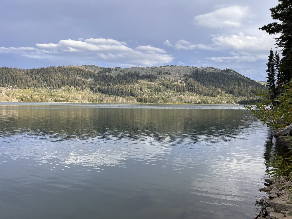 Marlette Lake Dam RdHikingPhoto: Ken Lund, CC BY-SA 2.0 (via Flickr)0.8 mi
Source: Roamze catalog (indexable pages within 10 miles, PostGIS distance)
 Tahoe Rim TrailMountain biking · ~3 min drivePhoto: AT2663, CC BY-SA 3.0 (via Wikimedia Commons)
 Tahoe Rim TrailMountain biking · ~13 min drivePhoto: Jim G from Silicon Valley, CA, USA, CC BY 2.0 (via Wikimedia Commons)Tahoe Rim TrailMountain biking · ~3 min drivePhoto: AT2663, CC BY-SA 3.0 (via Wikimedia Commons)Tahoe Rim TrailMountain biking · ~4 min drivePhoto: AT2663, CC BY-SA 3.0 (via Wikimedia Commons)Tahoe Rim TrailMountain biking · ~6 min drivePhoto: AT2663, CC BY-SA 3.0 (via Wikimedia Commons)
Map and trail data © OpenStreetMap contributors
