Lone Mountain Loop
- 2.2 mi
- loop
- 359 ft
- climb
- 2,800 ft
- high point
- Loop
- route
- Oct–Apr
- best months
Lone Mountain Loop is a 2.2-mile loop hike on Bureau of Land Management land within the Las Vegas Field Office in Nevada. The trail starts at about 2,768 feet and reaches a high point of 2,800 feet, with a total elevation gain and loss of 359 feet each way. The climb is rolling, and the steepest stretch comes early, at about 0.17 miles into the route, with a 9% grade. The hike is rated easy, and the trip is estimated to take about an hour. Spring and fall are the most comfortable times to go. Typical averages from a nearby weather station run from highs around 78°F in April to 81°F in October, while July highs average about 104°F and winter lows dip near 40°F. That station sits roughly 600 feet lower than the trail, so temperatures on the loop run a bit cooler. Lone Mountain, a climbing area, lies about half a mile away, with Cheap Beer Crag and Urban Crag at about 0.6 miles. For another walk, The Loop is about 3.6 miles off.
- Lone MountainRock climbing0.5 mi
 Cheap Beer CragRock climbingPhoto: Ken Lund, CC BY-SA 2.0 (via Flickr)0.6 mi
- Urban CragRock climbing0.6 mi
- Suburban CragRock climbing0.6 mi
- The LoopHiking3.6 mi
 Hualapai Canyon TrailHikingPhoto: thmeeks, CC BY 2.0 (via Flickr)4.9 mi
- Outer LoopHiking5.4 mi
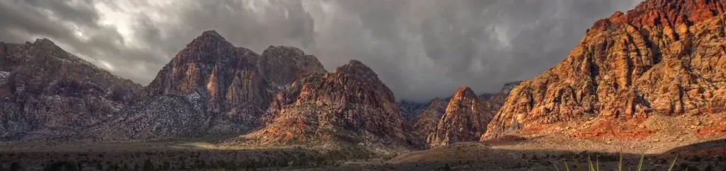 Red Rock Canyon CampgroundCampingPhoto: Recreation.gov (RIDB) / public domain8.6 mi
Source: Roamze catalog (indexable pages within 10 miles, PostGIS distance)
- Hualapai Canyon TrailHiking · ~8 min drivePhoto: thmeeks, CC BY 2.0 (via Flickr)
 Calico Hills TrailHiking · ~16 min drivePhoto: joannapoe, CC BY-SA 2.0 (via Flickr)
 JAM TrailHiking · ~10 min drivePhoto: tsaiproject from Canada, CC BY 2.0 (via Wikimedia Commons)
 Turtlehead PeakHiking · ~16 min drivePhoto: Tom Hilton, CC BY 2.0 (via Flickr)
 East CalicoHiking · ~12 min drivePhoto: RuggyBearLA, CC BY-SA 2.0 (via Flickr)
 Calico Ii TrailHiking · ~16 min drivePhoto: Hermann Luyken, CC0 (via Wikimedia Commons)
 Calico CutoffHiking · ~13 min drivePhoto: Jim Morefield, CC BY-SA 2.0 (via Flickr)
 Moenkopi LoopHiking · ~17 min drivePhoto: joannapoe, CC BY-SA 2.0 (via Flickr)
 David FlowieHiking · ~14 min drivePhoto: Hermann Luyken, CC0 (via Wikimedia Commons)
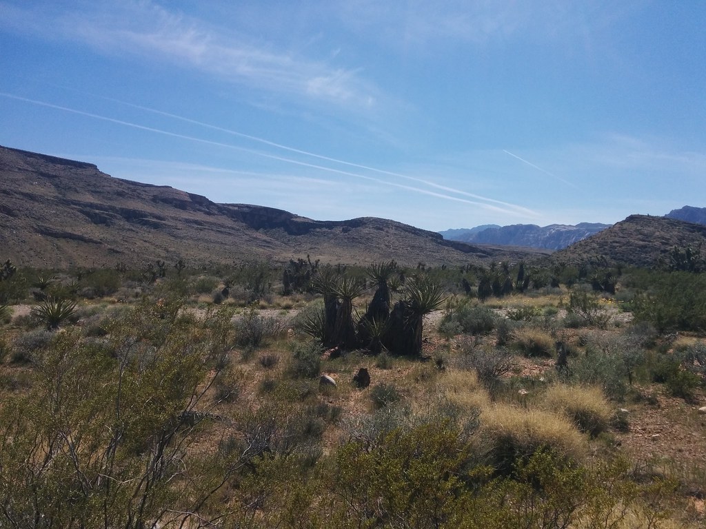 Brokeback MountainHiking · ~18 min drivePhoto: Lukáš Lalinský, CC BY-SA 2.0 (via Flickr)
Also worth it near here
Best time to visit Lone Mountain Loop
Best months: October–April. Best months have typical highs of 55–85 °F, lows of 30 °F or warmer (32 °F where the station doesn't record snow), at most one snowy day and no more than 12 wet days.
Jan
58° / 39°
3 wet
Feb
62° / 43°
3 wet
Mar
70° / 49°
3 wet
Apr
78° / 55°
1 wet
May
88° / 64°
1 wet
Jun
99° / 74°
0 wet
Jul
104° / 80°
1 wet
Aug
102° / 77°
2 wet
Sep
94° / 70°
2 wet
Oct
81° / 58°
2 wet
Nov
67° / 46°
2 wet
Dec
56° / 38°
3 wet
Typical high / low (°F) and days with rain or snow, 1991–2020. Measured at Las Vegas Air Terminal, NV, 7.2 mi away at 2,203 ft. The station sits about 600 ft lower than this place, so expect it a little cooler here. This station doesn't record snowfall. Source: NOAA NCEI U.S. Climate Normals 1991–2020.

Map and trail data © OpenStreetMap contributors
