Fort Churchill Road
- 15.4 mi
- round trip
- 588 ft
- climb
- 4,302 ft
- high point
- Out and back
- route
- Apr–Jun, Sep–Nov
- best months
Fort Churchill Road is a 30.7-mile out-and-back route in Nevada, starting at an elevation of about 4,300 feet and reaching a high point of 4,302 feet. The climb is rated hard, and the route's steepest stretch comes at about 7.1 miles in, with a grade of 3 percent. The nearest town is Mark Twain Estates, about 2.7 miles away. Spring and fall are the most comfortable times to go. Typical averages from a nearby weather station show May highs around 74°F and October highs around 70°F, while July averages about 94°F and winter brings highs in the upper 40s and a few snowy days each month. Iron Butte, a climbing area, sits about 1.4 miles away. Six Mile Canyon Road and the Cheyenne Trail are both within about 9 miles.
Local outfitters
- Alpenglow Expeditions40 mi away
Not on Roamze yet. Their page has how to reach them.
Best time to go · Apr–Jun, Sep–Nov
Best time to visit Fort Churchill Road
Best months: April–June and September–November. Best months have typical highs of 55–85 °F, lows of 30 °F or warmer (32 °F where the station doesn't record snow), at most one snowy day and no more than 12 wet days.
Jan
48° / 26°
7 wet · 3 snow
Feb
52° / 29°
7 wet · 3 snow
Mar
59° / 34°
6 wet · 2 snow
Apr
65° / 39°
5 wet · 1 snow
May
74° / 47°
4 wet
Jun
85° / 54°
3 wet
Jul
94° / 60°
2 wet
Aug
92° / 58°
2 wet
Sep
84° / 50°
2 wet
Oct
70° / 40°
3 wet
Nov
57° / 31°
4 wet · 1 snow
Dec
47° / 26°
6 wet · 3 snow
Typical high / low (°F) and days with rain or snow, 1991–2020. Measured at Reno Tahoe Intl Ap, NV, 19.2 mi away at 4,410 ft. Source: NOAA NCEI U.S. Climate Normals 1991–2020.
Keep exploring — more trails worth the drive
 Photo: Nouhailler, CC BY-SA 2.0 (via Flickr)
Ophir Grade
~18 min drive
4.74-mile out-and-back trail in Nevada with 1,381 ft elevation gain.
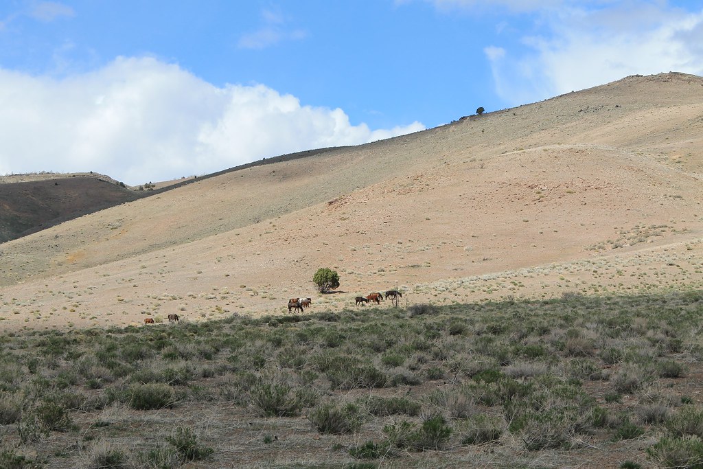 Photo: Nouhailler, CC BY-SA 2.0 (via Flickr)
Rocky Trail Bypass
~20 min drive
2.78-mile out-and-back trail in Nevada with 536 ft elevation gain
 Photo: jfdervin, CC BY-SA 2.0 (via Flickr)
Goni Road
~21 min drive
2.78-mile out-and-back trail on Goni Road in Nevada with 339 ft gain.
Photo: Nouhailler, CC BY-SA 2.0 (via Flickr)Adt - Nevada - S - Seg 9
~18 min drive
2.54-mile out-and-back trail in Nevada with 878 ft elevation gain.
 Photo: Sean Foster, CC BY 3.0 (via Wikimedia Commons)
Joseph Stewart Nature Trail
~21 min drive
Easy 0.48-mile out-and-back nature trail in Nevada.
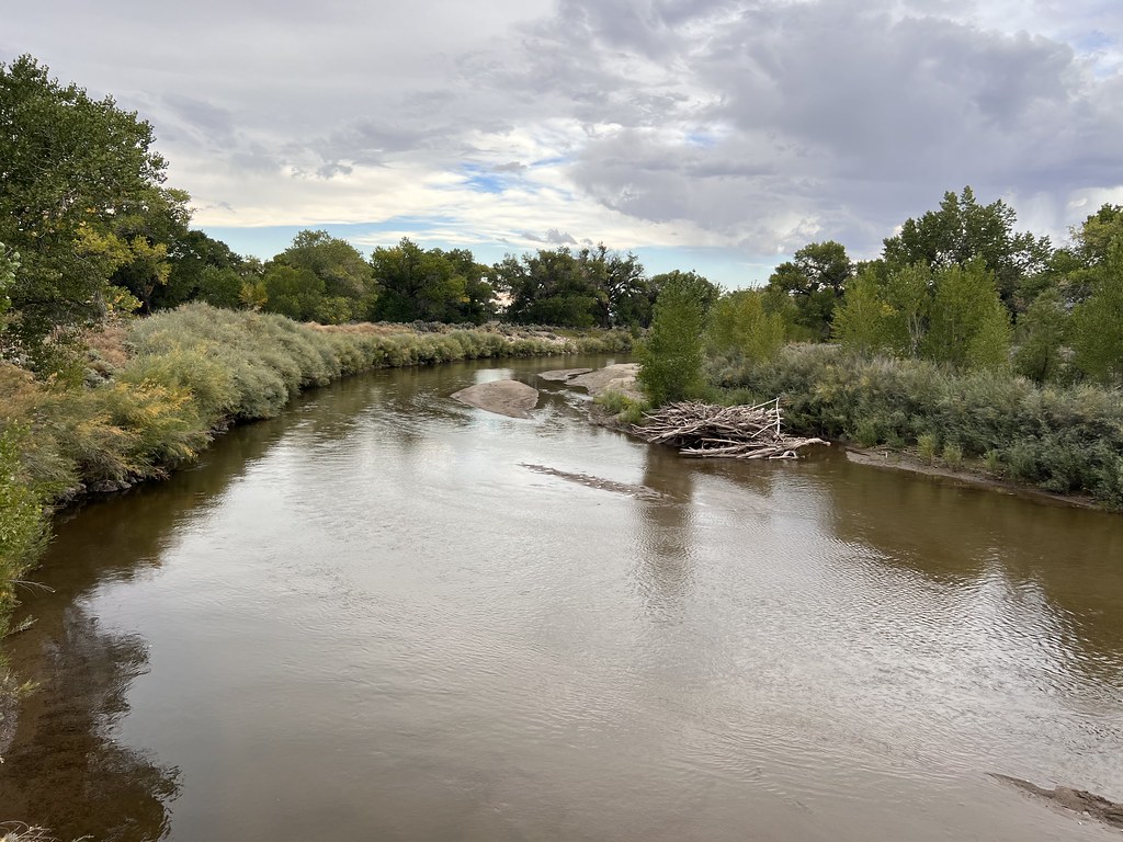 Photo: Ken Lund, CC BY-SA 2.0 (via Flickr)
Simpson Road
~24 min drive
26.67-mile out-and-back trail in Nevada with 717 ft elevation gain.
 Photo: Nouhailler, CC BY-SA 2.0 (via Flickr)
Centennial Loop
~20 min drive
4.74-mile out-and-back trail in Nevada with 1,481 ft elevation gain and loss.
Photo: Sean Foster, CC BY 3.0 (via Wikimedia Commons)Buckland Loop
~21 min drive
Easy loop trail near Buckland, Nevada—quick and accessible.
HIKE
Six Mile Canyon Road
~13 min drive
Six Mile Canyon Road is a 5.48-mile out-and-back trail in Nevada with 213 ft gain.
 Photo: Nouhailler, CC BY-SA 2.0 (via Flickr)
Rocky Trail
~22 min drive
2.50-mile out-and-back hike in Nevada with 617 ft gain

Map and trail data © OpenStreetMap contributors
