Six Mile Canyon Road
- 5.5 mi
- round trip
- 3,029 ft
- climb
- 5,885 ft
- high point
- Out and back
- route
- Apr–Oct
- best months
Six Mile Canyon Road is a hard out-and-back hike in Nevada, about half a mile from Virginia City. The route is 11 miles long, with a total elevation gain of 3,029 feet, and it starts and ends near 5,880 feet, with the high point at 5,885 feet. The steepest stretch comes at about 1.1 miles in, where the grade reaches 16 percent. The most comfortable months for a visit are typically June and September, when typical averages from a nearby weather station in Virginia City run around 74°F for highs and 53°F for lows. Winter is cold and snowy, with January highs near 41°F and about four snow days a month from December through February. The trip takes about five hours. Ophir Grade and Adt - Nevada - S - Seg 9 are both about 4 miles away, and the Wing Boulder and Celebrity Wall climbing areas sit about 5 miles off. Washoe Lake State Park Campground is roughly 9 miles away.
Local outfitters
- Alpenglow Expeditions33 mi away
Not on Roamze yet. Their page has how to reach them.
Best time to go · Apr–Oct
Best time to visit Six Mile Canyon Road
Best months: April–October. Best months have typical highs of 55–85 °F, lows of 30 °F or warmer (32 °F where the station doesn't record snow), at most one snowy day and no more than 12 wet days.
Jan
41° / 27°
5 wet · 4 snow
Feb
43° / 29°
5 wet · 4 snow
Mar
49° / 33°
4 wet · 3 snow
Apr
55° / 36°
3 wet · 1 snow
May
64° / 44°
3 wet
Jun
74° / 53°
2 wet
Jul
84° / 62°
1 wet
Aug
82° / 60°
1 wet
Sep
74° / 53°
1 wet
Oct
61° / 43°
2 wet
Nov
49° / 33°
4 wet · 2 snow
Dec
40° / 26°
5 wet · 4 snow
Typical high / low (°F) and days with rain or snow, 1991–2020. Measured at Virginia City, NV, 0.4 mi away at 6,340 ft. Source: NOAA NCEI U.S. Climate Normals 1991–2020.
Keep exploring — more trails worth the drive
 Photo: Nouhailler, CC BY-SA 2.0 (via Flickr)
Ophir Grade
~7 min drive
4.74-mile out-and-back trail in Nevada with 1,381 ft elevation gain.
 Photo: jfdervin, CC BY-SA 2.0 (via Flickr)
Goni Road
~11 min drive
2.78-mile out-and-back trail on Goni Road in Nevada with 339 ft gain.
 Photo: Nouhailler, CC BY-SA 2.0 (via Flickr)
North Loop
~13 min drive
Easy 0.35-mile out-and-back walk in Nevada's high desert.
Photo: Nouhailler, CC BY-SA 2.0 (via Flickr)Adt - Nevada - S - Seg 9
~7 min drive
2.54-mile out-and-back trail in Nevada with 878 ft elevation gain.
 Photo: Ryan Finnie, CC BY-SA 2.0 (via Flickr)
Brown's Creek Trail
~18 min drive
6.78-mile out-and-back hike in Nevada with 2,541 ft elevation gain and loss.
Photo: Nouhailler, CC BY-SA 2.0 (via Flickr)North Loop
~13 min drive
2.58-mile out-and-back trail in Nevada with 32 ft elevation gain
 Photo: Nouhailler, CC BY-SA 2.0 (via Flickr)
Centennial Loop
~13 min drive
4.74-mile out-and-back trail in Nevada with 1,481 ft elevation gain and loss.
HIKE
Fort Churchill Road
~13 min drive
15.36-mile out-and-back trail in Nevada with 443 ft gain.
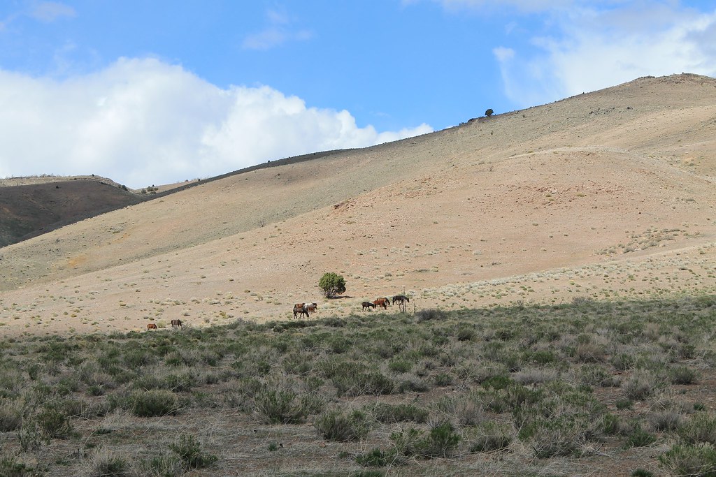 Photo: Nouhailler, CC BY-SA 2.0 (via Flickr)
Rocky Trail Bypass
~13 min drive
2.78-mile out-and-back trail in Nevada with 536 ft elevation gain
 Photo: Nouhailler, CC BY-SA 2.0 (via Flickr)
Rocky Trail
~14 min drive
2.50-mile out-and-back hike in Nevada with 617 ft gain

Map and trail data © OpenStreetMap contributors
