Simpson Road
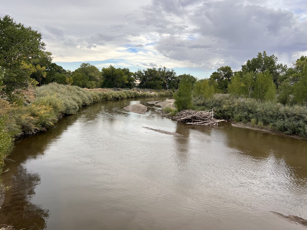 Photo: Ken Lund, CC BY-SA 2.0 (via Flickr)
- 26.7 mi
- round trip
- 2,016 ft
- climb
- 4,711 ft
- high point
- Out and back
- route
- May, Sep
- best months
Simpson Road is a long, challenging hike in Nevada on Bureau of Land Management land within the Sierra Front Field Office. It is an out-and-back route that covers about 53 miles, with a high point of 4,711 feet and a total round-trip elevation gain of about 2,016 feet. The start sits at roughly 4,213 feet, and the climb works both up and down the trail's full length. Spring and fall are the most comfortable times to go. Typical averages from a nearby weather station at Wabuska show May highs around 76°F and October highs around 71°F, while July averages a high of 95°F. The hike takes about 19 hours to complete. The Buckland Loop lies about 1.8 miles away, and the Cheyenne Trail is roughly 8.3 miles off.
Best time to go · May, Sep
Best time to visit Simpson Road
Best months: May and September. Best months have typical highs of 55–85 °F, lows of 30 °F or warmer (32 °F where the station doesn't record snow), at most one snowy day and no more than 12 wet days.
Jan
49° / 15°
4 wet
Feb
53° / 19°
4 wet
Mar
61° / 25°
3 wet
Apr
67° / 30°
3 wet
May
76° / 39°
4 wet
Jun
86° / 45°
2 wet
Jul
95° / 51°
2 wet
Aug
93° / 48°
1 wet
Sep
85° / 39°
1 wet
Oct
71° / 29°
2 wet
Nov
57° / 20°
2 wet
Dec
47° / 13°
4 wet
Typical high / low (°F) and days with rain or snow, 1991–2020. Measured at Wabuska 6 Se, NV, 15.9 mi away at 4,300 ft. This station doesn't record snowfall. Source: NOAA NCEI U.S. Climate Normals 1991–2020.
Keep exploring — more trails worth the drive
 Photo: Sean Foster, CC BY 3.0 (via Wikimedia Commons)
Orchard Interpretive Trail
~3 min drive
Easy 1.32-mile out-and-back interpretive trail in Nevada.
 Photo: Nouhailler, CC BY-SA 2.0 (via Flickr)
Centennial Loop
~42 min drive
4.74-mile out-and-back trail in Nevada with 1,481 ft elevation gain and loss.
 Photo: jfdervin, CC BY-SA 2.0 (via Flickr)
Goni Road
~44 min drive
2.78-mile out-and-back trail on Goni Road in Nevada with 339 ft gain.
Photo: Sean Foster, CC BY 3.0 (via Wikimedia Commons)Buckland Loop
~3 min drive
Easy loop trail near Buckland, Nevada—quick and accessible.
 Photo: Nouhailler, CC BY-SA 2.0 (via Flickr)
Adt - Nevada - S - Seg 9
~42 min drive
2.54-mile out-and-back trail in Nevada with 878 ft elevation gain.
HIKE
Fort Churchill Road
~24 min drive
15.36-mile out-and-back trail in Nevada with 443 ft gain.
Photo: Sean Foster, CC BY 3.0 (via Wikimedia Commons)Joseph Stewart Nature Trail
~3 min drive
Easy 0.48-mile out-and-back nature trail in Nevada.
Photo: Nouhailler, CC BY-SA 2.0 (via Flickr)Ophir Grade
~42 min drive
4.74-mile out-and-back trail in Nevada with 1,381 ft elevation gain.
HIKE
Six Mile Canyon Road
~37 min drive
Six Mile Canyon Road is a 5.48-mile out-and-back trail in Nevada with 213 ft gain.
 Photo: Ken Lund from Reno, Nevada, USA, CC BY-SA 2.0 (via Wikimedia Commons)
Tahoe-Pyramid Trail
~42 min drive
1.08-mile out-and-back trail in Nevada with 56 ft elevation gain and loss.
Map and trail data © OpenStreetMap contributors
