Echo Trail
At a glance
Echo Trail is a moderate out-and-back hike in Nevada's Spring Mountains National Recreation Area, part of the Humboldt-Toiyabe National Forest. The trail is about 2 miles long, with a total elevation gain of roughly 1,450 feet, and it starts at about 7,766 feet, reaching a high point of 7,813 feet. The steepest stretch comes early, around 0.23 miles in, with a grade of about 19 percent. Summer is the most comfortable time to go. Typical averages from a nearby weather station at Mt Charleston show July highs around 79°F with lows near 52°F, while winter highs sit in the mid-40s. The trail sits among several other destinations. The Charleston Peak Trail South Loop, The Belltower climbing area and Cathedral Rock Picnic Area are all about 0.1 mile away. Fletcher View campground is about 1.8 miles off.
- round trip
- 1.0 mi
- climb
- 1,459 ft
- high point
- 7,813 ft
- route
- Out and back
- time
- About 45 minutes
- best months
- May–Oct
Where it is: Spring Mountains National Recreation Area · Humboldt-Toiyabe National Forest
Near: Las Vegas
Best time to visit Echo Trail
Best months: May–October. Best months have typical highs of 55–85 °F, lows of 30 °F or warmer (32 °F where the station doesn't record snow), at most one snowy day and no more than 12 wet days.
Jan
44°
22°
6 wet
Feb
44°
22°
6 wet
Mar
49°
26°
6 wet
Apr
55°
30°
4 wet
May
63°
37°
4 wet
Jun
74°
46°
2 wet
Jul
79°
52°
5 wet
Aug
78°
52°
6 wet
Sep
72°
44°
4 wet
Oct
62°
35°
3 wet
Nov
51°
27°
4 wet
Dec
44°
21°
5 wet
Typical high / low (°F) and days with rain or snow, 1991–2020. Measured at Mt Charleston Fire Stn, NV, 0.3 mi away at 7,460 ft. This station doesn't record snowfall. Source: NOAA NCEI U.S. Climate Normals 1991–2020.
Been here? Tell people how it was.
- Charleston Peak Trail South LoopHiking0.1 mi
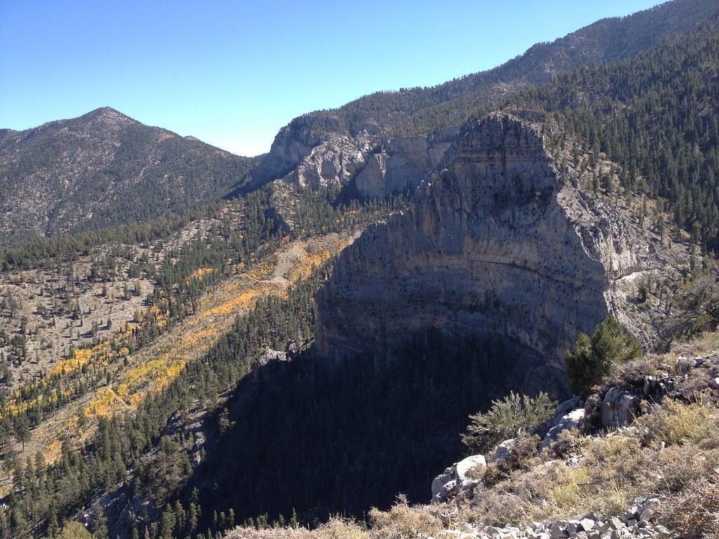 The BelltowerRock climbingPhoto: christie_verbose, CC BY 2.0 (via Flickr)0.1 mi
- Cathedral Rock Picnic AreaCamping0.1 mi
- The Church PewRock climbingPhoto: christie_verbose, CC BY 2.0 (via Flickr)0.2 mi
- Weakness WallRock climbingPhoto: christie_verbose, CC BY 2.0 (via Flickr)0.3 mi
 Little Falls (upper)HikingPhoto: christie_verbose, CC BY 2.0 (via Flickr)0.3 mi
 Stanley B Springs TrailHikingPhoto: stevelyon, CC BY-SA 2.0 (via Flickr)0.8 mi
- Fletcher ViewCamping1.8 mi
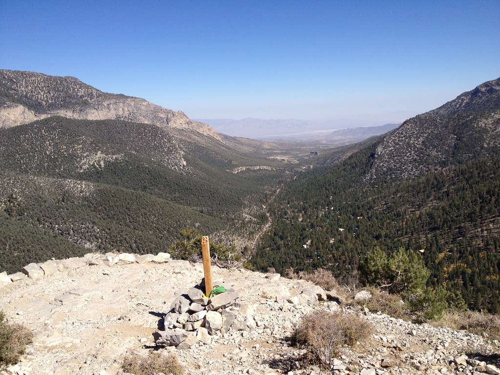 Cathedral RockHikingPhoto: christie_verbose, CC BY 2.0 (via Flickr)Next door
- Stanley B Springs TrailHikingPhoto: stevelyon, CC BY-SA 2.0 (via Flickr)~1 min drive
 Trail CanyonHikingPhoto: Ken Lund, CC BY-SA 2.0 (via Flickr)~2 min drive
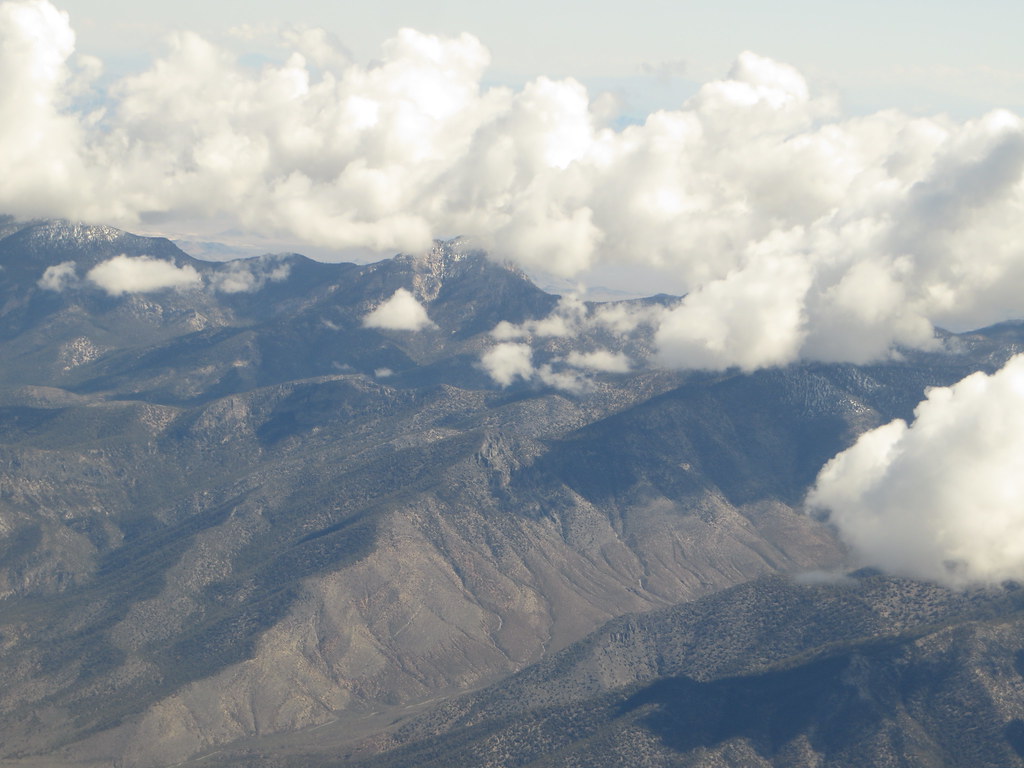 Charleston Peak Trail South LoopHikingPhoto: Ken Lund, CC BY-SA 2.0 (via Flickr)~5 min drive
- Little Falls (upper)HikingPhoto: christie_verbose, CC BY 2.0 (via Flickr)Next door
 AcastusHikingPhoto: Desert Landscape Conservation Cooperative, CC BY 2.0 (via Flickr)~6 min drive
 North LoopHikingPhoto: bahniuk, CC BY 3.0 (via Wikimedia Commons)~7 min drive
- Acastus TrailHikingPhoto: Desert Landscape Conservation Cooperative, CC BY 2.0 (via Flickr)~6 min drive
 Wildhorse CanyonHikingPhoto: redlicks, CC BY 3.0 (via Wikimedia Commons)~6 min drive
 BristleconeHikingPhoto: Ken Lund, CC BY-SA 2.0 (via Flickr)~7 min drive
Conditions and forecast
Daily highs and lows, wind and the chance of precipitation at Start for the next 7 days, from the Open-Meteo model.

Ask about this place
Questions about Echo Trail: conditions, access, timing. Answers say when something isn't known.
Map and trail data © OpenStreetMap contributors
