Little Falls
- 8,360 ft
- elevation
- Forest Service
- managed by
- May–Oct
- best months
Caution at last check
Agency alerts are in effect for this area; weather is good · USFS, OpenWeather · checked 12 h ago
Is Little Falls open right now?
Closure in the area
There's a closure order in Humboldt-Toiyabe National Forest. It doesn't name Little Falls, so check the source for the area it covers.
Elephant Fire Closure
Agency closure covering Humboldt-Toiyabe National Forest · Order 04-17-26-01-04 · USFS · Humboldt-Toiyabe National Forest
Area, Road, and Trail Closures (Spring Mountains National Recreation Area)
Agency alert covering Humboldt-Toiyabe National Forest · Order 04-17-25-04 · USFS · Humboldt-Toiyabe National Forest
Year-Round Fire Restrictions (Spring Mountains National Recreation Area)
Agency alert covering Humboldt-Toiyabe National Forest · Order 04-17-24-01 · USFS · Humboldt-Toiyabe National Forest
Vehicle Snow Chain Requirements during Inclement Weather (Spring Mountains National Recreation Area)
Agency alert covering Humboldt-Toiyabe National Forest · Order 04-17-23-01 · USFS · Humboldt-Toiyabe National Forest
Rainbow Canyon Flood Diversion Structure Closure (Spring Mountains National Recreation Area)
Agency alert covering Humboldt-Toiyabe National Forest · Order 04-17-15-01 · USFS · Humboldt-Toiyabe National Forest
As of · Source: USFS · Humboldt-Toiyabe National Forest. Agencies don't list every closure — check before you go.
Little Falls is a waterfall in the Spring Mountains National Recreation Area, part of the Humboldt-Toiyabe National Forest in Nevada. The Forest Service manages the land, and the nearest town is Mount Charleston, about 2.4 miles away. The falls sit at roughly 8,360 feet. Summer is the most comfortable time to visit. Typical averages from a nearby weather station show July highs around 79°F with lows near 52°F, and the falls sit higher than that station, so expect it to run a little cooler. The surrounding area is a hub for climbing and hiking. Kyle Canyon and Walden climbing areas are each about 0.2 miles away, and the Little Falls (upper) hike starts about 0.3 miles off. Cathedral Rock Picnic Area, a campground, is about 0.7 miles away.
- Elevation
- 8,360 ft
- Land manager
- Forest Service
Elevation from USGS 3D Elevation Program terrain data (about 10 m resolution).
 Kyle CanyonRock climbingPhoto: Ken Lund, CC BY-SA 2.0 (via Flickr)0.2 mi
- WaldenRock climbingPhoto: Ken Lund, CC BY-SA 2.0 (via Flickr)0.2 mi
 Little Falls (upper)HikingPhoto: christie_verbose, CC BY 2.0 (via Flickr)0.3 mi
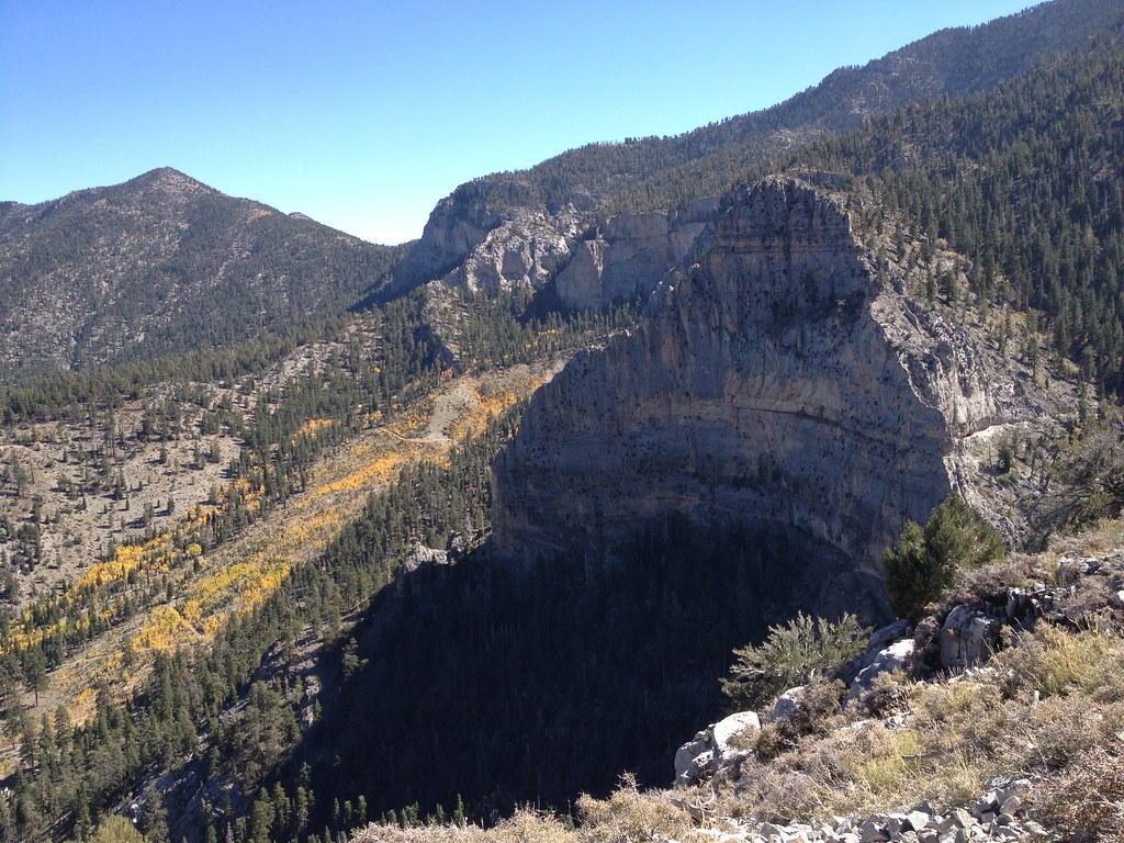 Weakness WallRock climbingPhoto: christie_verbose, CC BY 2.0 (via Flickr)0.3 mi
- Echo TrailHiking0.6 mi
- Charleston Peak Trail South LoopHiking0.6 mi
- Cathedral Rock Picnic AreaCamping0.7 mi
- Fletcher ViewCamping2.4 mi
Source: Roamze catalog (indexable pages within 10 miles, PostGIS distance)
Also worth it near here
- Kyle CanyonRock climbing · Next doorPhoto: Ken Lund, CC BY-SA 2.0 (via Flickr)
- Little Falls (upper)Hiking · Next doorPhoto: christie_verbose, CC BY 2.0 (via Flickr)
 Trail CanyonMountain biking · ~2 min drivePhoto: Famartin, CC BY-SA 4.0 (via Wikimedia Commons)
 Charleston PeakSummit · ~4 min drivePhoto: Stan Shebs, CC BY-SA 3.0 (via Wikimedia Commons)
Best time to visit Little Falls
Best months: May–October. Best months have typical highs of 55–85 °F, lows of 30 °F or warmer (32 °F where the station doesn't record snow), at most one snowy day and no more than 12 wet days.
Jan
44° / 22°
6 wet
Feb
44° / 22°
6 wet
Mar
49° / 26°
6 wet
Apr
55° / 30°
4 wet
May
63° / 37°
4 wet
Jun
74° / 46°
2 wet
Jul
79° / 52°
5 wet
Aug
78° / 52°
6 wet
Sep
72° / 44°
4 wet
Oct
62° / 35°
3 wet
Nov
51° / 27°
4 wet
Dec
44° / 21°
5 wet
Typical high / low (°F) and days with rain or snow, 1991–2020. Measured at Mt Charleston Fire Stn, NV, 0.7 mi away at 7,460 ft. The station sits about 900 ft lower than this place, so expect it a little cooler here. This station doesn't record snowfall. Source: NOAA NCEI U.S. Climate Normals 1991–2020.
