Triple Divide Peak
 Photo: Eggbones, CC BY-SA 4.0 (via Wikimedia Commons)
- 8,012 ft
- summit
Is Triple Divide Peak open right now?
Closure in the area
There's a closure order in Glacier National Park. It doesn't name Triple Divide Peak, so check the source for the area it covers.
Going-to-the-Sun Road Seasonal Closure
Park closure covering Glacier National Park · NPS · Glacier National Park
As of · Source: NPS · Glacier National Park. Agencies don't list every closure — check before you go.
Triple Divide Peak is a summit of about 8,012 feet in Flathead County, Montana, within Glacier National Park. The nearest town is St. Mary, about 12 miles away. The peak stands among the park's high country, and nearby trails reach toward it from several directions. Oldman Lake is the closest neighboring hike at about 5 miles away. Within roughly 8 miles you'll also find the St. Mary Falls Trail, the Rising Sun Trail and the Saint Mary River for canoeing.
Conditions and forecast
Daily highs and lows, wind and the chance of precipitation at the summit for the next 7 days, from the Open-Meteo model.
- Summit elevation
- 8,012 ft
Elevation from USGS 3D Elevation Program terrain data (about 10 m resolution).
We don't know of a mapped trail or route to the summit of Triple Divide Peak. Plan the approach with local maps, a guidebook or a local guide, and check conditions before you go.
Questions about Triple Divide Peak
How tall is Triple Divide Peak?
8,012 ft (2,442 m).
Is there a trail to the top of Triple Divide Peak?
We don't know of a mapped trail or route to the summit. Plan the approach with local maps, a guidebook or a local guide.
 Oldman LakeHikingPhoto: ludger.heide, CC BY-SA 2.0 (via Flickr)5.4 mi
- Milk River Ridge BdyHiking6.8 mi
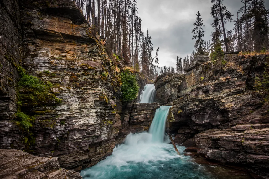 St. Mary Falls TrailHikingPhoto: NPS / public domain8 mi
- St Mary LakeHiking8.2 mi
 Rising Sun TrailHikingPhoto: SridharSaraf, CC BY-SA 2.0 (via Flickr)8.2 mi
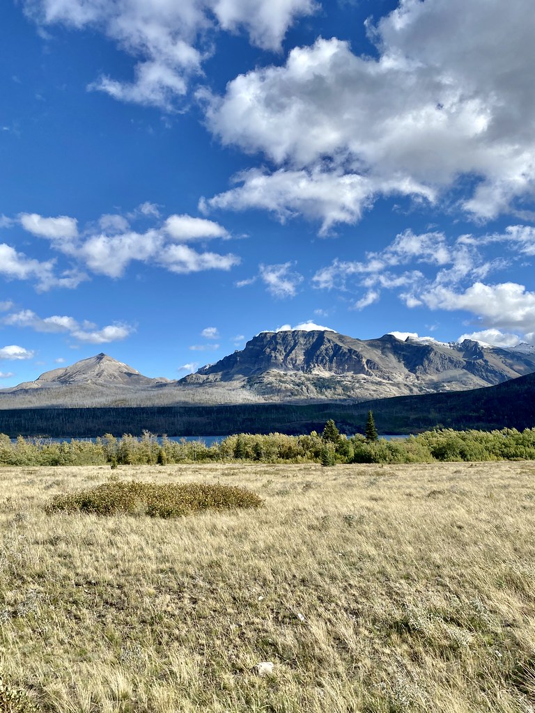 Rose Creek TrailHikingPhoto: w_lemay, CC BY-SA 2.0 (via Flickr)8.4 mi
 Saint Mary RiverCanoeingPhoto: Royalbroil, CC BY-SA 3.0 (via Wikimedia Commons)8.5 mi
- Two Medicine CreekCanoeing8.6 mi
Source: Roamze catalog (indexable pages within 10 miles, PostGIS distance)
 Mount PinchotSummit · ~11 min drivePhoto: Leaflet, CC BY-SA 4.0 (via Wikimedia Commons)
 Mount JacksonSummit · ~16 min drivePhoto: Acroterion, CC BY-SA 4.0 (via Wikimedia Commons)
 Mount EllsworthSummit · ~20 min drivePhoto: MONGO, CC BY-SA 4.0 (via Wikimedia Commons)
 Reynolds MountainSummit · ~20 min drivePhoto: Public domain (via Wikimedia Commons)
 Little MatterhornSummit · ~22 min drivePhoto: NPS Natural Resources
NPS Photo/Jacob W. Frank, Public domain (via Wikimedia Commons)
 Bearhat MountainSummit · ~22 min drivePhoto: GlacierNPS, Public domain (via Wikimedia Commons)
 Mount BrownSummit · ~25 min drivePhoto: GlacierNPS, CC BY 2.0 (via Wikimedia Commons)
 Haystack ButteSummit · ~25 min drivePhoto: oliver.dodd, CC BY 2.0 (via Wikimedia Commons)
 Mount GouldSummit · ~25 min drivePhoto: National Park Service, Public domain (via Wikimedia Commons)
 Angel WingSummit · ~27 min drivePhoto: Jeff P from Berkeley, CA, USA, CC BY 2.0 (via Wikimedia Commons)
