Mount Aeneas
- 7,527 ft
- summit
- 1
- way up
Is Mount Aeneas open right now?
Alert in the area
The Forest Service lists 6 alerts for Flathead National Forest.
Ashley Lake North Campground Closure
Agency alert covering Flathead National Forest · Order 01-10- · USFS · Flathead National Forest
Camp Creek Fire Updated Trail Closure
Agency alert covering Flathead National Forest · Order 01-10- · USFS · Flathead National Forest
FK&L Area Closed to Public Access Starting July 22, 2026
Agency alert covering Flathead National Forest · Order 01-10- · USFS · Flathead National Forest
Trail 800 Tally-Ashely Closure
Agency alert covering Flathead National Forest · Order 01-10- · USFS · Flathead National Forest
Ryan Creek Occupancy and Use Order
Agency alert covering Flathead National Forest · Order 1-10- · USFS · Flathead National Forest
As of · Source: USFS · Flathead National Forest. Agencies don't list every closure — check before you go.
Mount Aeneas is a summit in the Swan Lake Ranger District of Flathead National Forest in northwest Montana, about 7.6 miles from the town of Bigfork. Two of them are listed as cautions. Several other destinations sit close to the summit. The Mt. Aeneas mountain biking route is 0.4 miles away, and the Birch Lake and Alpine 7 hikes are each about half a mile off. Graves Creek Campground lies 5.2 miles away if you want somewhere to stay.
Conditions and forecast
Daily highs and lows, wind and the chance of precipitation at the summit and camp misery trailhead for the next 7 days, from the Open-Meteo model.
- Summit elevation
- 7,527 ft
Elevation from USGS 3D Elevation Program terrain data (about 10 m resolution).
Map © Mapbox © OpenStreetMap contributors Questions about Mount Aeneas
How tall is Mount Aeneas?
7,527 ft (2,294 m).
How many routes go to the summit of Mount Aeneas?
One: Mt. Aeneas.
Where do the routes up Mount Aeneas start?
Mt. Aeneas starts at Camp Misery Trailhead (about 5,743 ft).
When is the best time to climb Mount Aeneas?
June 1 – September 30.
- Wildcat Mountain6,590 ft · Montana1 route6.6 mi away
- Tom Tom Mountain7,071 ft · Montana1 route6.8 mi away
- Java Mountain6,808 ft · Montana1 route16 mi away
- Columbia Mountain7,228 ft · Montana1 route16 mi away
- Crossover Mountain6,615 ft · Montana1 route19 mi away
- Ousel Peak7,145 ft · Montana1 route22 mi away
- Mt. AeneasMountain biking0.4 mi
- Birch LakeHiking0.5 mi
- Alpine 7Hiking0.5 mi
- Picnic LakesMountain biking1 mi
- Graves Creek CampgroundCamping5.2 mi
- 5398-2 Bear Creek RoadCamping5.5 mi
 Anna Creek CabinCampingPhoto: Recreation.gov (RIDB) / public domain6.1 mi
- Riverside CampgroundSaltwater fishing9.8 mi
Source: Roamze catalog (indexable pages within 10 miles, PostGIS distance)
 Mount EllsworthSummit · ~55 min drivePhoto: MONGO, CC BY-SA 4.0 (via Wikimedia Commons)
 Mount JacksonSummit · ~56 min drivePhoto: Acroterion, CC BY-SA 4.0 (via Wikimedia Commons)
 Mount BrownSummit · ~59 min drivePhoto: GlacierNPS, CC BY 2.0 (via Wikimedia Commons)
 Little MatterhornSummit · ~59 min drivePhoto: NPS Natural Resources
NPS Photo/Jacob W. Frank, Public domain (via Wikimedia Commons)
 Triple Divide PeakSummit · ~59 min drivePhoto: Eggbones, CC BY-SA 4.0 (via Wikimedia Commons)
 Stanton MountainSummit · ~1h 1m drivePhoto: GlacierNPS, Public domain (via Wikimedia Commons)
 Bearhat MountainSummit · ~1h 3m drivePhoto: GlacierNPS, Public domain (via Wikimedia Commons)
 Reynolds MountainSummit · ~1h 4m drivePhoto: Public domain (via Wikimedia Commons)
 Haystack ButteSummit · ~1h 11m drivePhoto: oliver.dodd, CC BY 2.0 (via Wikimedia Commons)
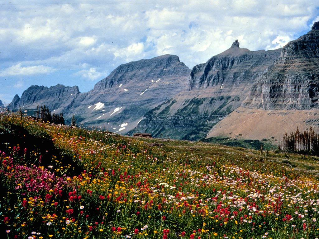 Mount GouldSummit · ~1h 12m drivePhoto: National Park Service, Public domain (via Wikimedia Commons)

