Cascade Landing
- Apr–Jun, Sep–Oct
- best months
Is Cascade Landing open right now?
Alert in the area
The Forest Service lists an alert for Lolo National Forest.
East Fork Big Creek Road & Trail Closure- Superior Ranger District
Agency alert covering Lolo National Forest · Order 26-003- · USFS · Lolo National Forest
As of · Source: USFS · Lolo National Forest. Agencies don't list every closure — check before you go.
Cascade Landing is a boat launch in the Plains/Thompson Falls Ranger District of Lolo National Forest in western Montana, about 6 miles from the town of Paradise. It is a simple put-in with no fees required to use it. Summer is the most comfortable time to visit. Typical averages from the nearby Superior weather station show July and August highs around 88°F with lows near 50°F, while September cools to highs in the upper 70s. Winters are cold, with January highs in the mid-30s. The launch sits right next to Cascade Cg/Trhd, a campground just 0.3 miles away, and the Iron Mountain hike starts about 0.4 miles off. Fourteen Mile Creek and Donlan Saddle are both within about 5 miles.
- Fee
- No fee
- Cascade Cg/TrhdCamping0.3 mi
- Iron MountainHiking0.4 mi
- Fourteen Mile CreekHiking3.3 mi
- Donlan SaddleHiking5.1 mi
- Reservation DivideHiking6.3 mi
- nine mile divide trailHiking7.7 mi
- VistaHiking7.9 mi
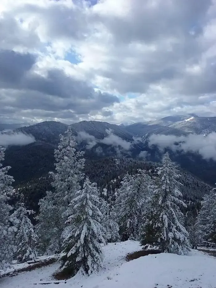 Thompson Peak Lookout TowerCampingPhoto: Recreation.gov (RIDB) / public domain9.5 mi
Source: Roamze catalog (indexable pages within 10 miles, PostGIS distance)
 Saint Regis RiverCanoeing · ~1h 4m drivePhoto: Ken Gallager, CC BY-SA 4.0 (via Wikimedia Commons)
- Buffalo Bridge AccessBoat launch · ~56 min drive
- Fish CreekCanoeing · ~45 min drive
- Ferry Landing/Boating/Picnic/TrhdBoat launch · ~6 min drive
- Little Thompson RiverCanoeing · ~47 min drive
- Ralph's TakeoutBoat launch · ~36 min drive
- North Fork Clearwater RiverCanoeing · ~48 min drive
- Lena Lane Boat RampBoat launch · ~1h 18m drive
- Little Bitterroot RiverCanoeing · ~51 min drive
- South Fork Fish CreekCanoeing · ~56 min drive
Best time to visit Cascade Landing
Best months: April–June and September–October. Best months have typical highs of 55–85 °F, lows of 30 °F or warmer (32 °F where the station doesn't record snow), at most one snowy day and no more than 12 wet days.
Jan
36° / 22°
10 wet
Feb
42° / 22°
9 wet
Mar
53° / 27°
10 wet
Apr
61° / 32°
10 wet
May
71° / 40°
11 wet
Jun
78° / 46°
10 wet
Jul
88° / 51°
6 wet
Aug
88° / 49°
5 wet
Sep
77° / 42°
6 wet
Oct
61° / 34°
9 wet
Nov
43° / 27°
12 wet
Dec
34° / 22°
11 wet
Typical high / low (°F) and days with rain or snow, 1991–2020. Measured at Superior, MT, 8.3 mi away at 2,710 ft. We don't have this place's elevation, so higher spots nearby can run cooler. This station doesn't record snowfall. Source: NOAA NCEI U.S. Climate Normals 1991–2020.
