nine mile divide trail
- 4.8 mi
- round trip
- 2,926 ft
- climb
- 6,882 ft
- high point
- Out and back
- route
Is nine mile divide trail open right now?
Alert in the area
The Forest Service lists an alert for Lolo National Forest.
East Fork Big Creek Road & Trail Closure- Superior Ranger District
Agency alert covering Lolo National Forest · Order 26-003- · USFS · Lolo National Forest
As of · Source: USFS · Lolo National Forest. Agencies don't list every closure — check before you go.
Nine Mile Divide Trail is a hard hike in the Superior Ranger District of Lolo National Forest in western Montana, managed by the Forest Service. The trail is an out-and-back route of about 9.6 miles, with a one-way climb of roughly 1,080 feet. The total round-trip gain is about 2,926 feet, and the steepest stretch comes at about 4.7 miles, where the grade reaches 30%. The trail starts at an elevation of about 6,440 feet and climbs to a high point of about 6,880 feet. The climb is steady, and the steepest part sits near the middle of the route. For a longer outing, Reservation Divide lies about 4.3 miles away and Burnt Fork Pinnacle about 5.1 miles. Cascade Campground and the Iron Mountain hike are both about 8 miles off.
Local outfitters
- Granite Peak RV Resort33 mi away
Not on Roamze yet. Their page has how to reach them.
- Reservation DivideHiking4.3 mi
- Burnt Fork PinnacleHiking5.1 mi
- VistaHiking7.6 mi
- Cascade Cg/TrhdCamping8 mi
- Iron MountainHiking8 mi
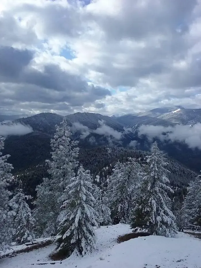 Thompson Peak Lookout TowerCampingPhoto: Recreation.gov (RIDB) / public domain8.6 mi
- Trout Cr CgCamping9.2 mi
- Quartz Flat Campground (MT)Camping9.4 mi
Source: Roamze catalog (indexable pages within 10 miles, PostGIS distance)
 Ch-Paa-Qn PeakHiking · ~29 min drivePhoto: Forest Service - Northern Region, Public Domain Mark (via Flickr)
- Reservation DivideHiking · ~7 min drive
- VistaHiking · ~13 min drive
- 9 mile divide trailHiking · ~15 min drive
- Burnt Fork PinnacleHiking · ~9 min drive
- Quartz Flat NatureHiking · ~16 min drive
- Kreis Pond Blue Loop - AHiking · ~26 min drive
- Iron MountainHiking · ~14 min drive
- Ninemile Divide TrailHiking · ~18 min drive
- Kreis Pond Orange LoopHiking · ~28 min drive
Also worth it near here
Map and trail data © OpenStreetMap contributors
