Cascade Cg/Trhd
- May
- season
- Apr–Jun, Sep–Oct
- best months
Is Cascade Cg/Trhd open right now?
Alert in the area
The Forest Service lists an alert for Lolo National Forest.
East Fork Big Creek Road & Trail Closure- Superior Ranger District
Agency alert covering Lolo National Forest · Order 26-003- · USFS · Lolo National Forest
As of · Source: USFS · Lolo National Forest. Agencies don't list every closure — check before you go.
- At 2,560 ft
- Plains/Thompson Falls Ranger DistrictLolo National Forest
Cascade Campground, also known as Cascade Campground/Trhd, is a Forest Service site in the canyon bottom along the Clark Fork River in the Plains/Thompson Falls Ranger District of Lolo National Forest in western Montana. It sits about 1.7 miles from the town of Quinns, adjacent to the highway and across the road from the river. The site is forested with Douglas-fir, ponderosa pine and western larch, which provide abundant shade. The Iron Mountain Trail #242, a historic wagon road, has its terminus in the campground. Fishing is available at the river. Vault toilets are the only amenity on site, and a fee is charged for stays. Summer is the most comfortable time to visit. Typical averages from the nearby Superior weather station show July and August highs around 88°F with lows near 50°F, while September cools to highs in the upper 70s. The Iron Mountain hike starts just 0.3 miles away, and Fourteen Mile Creek, Donlan Saddle and Reservation Divide are all within about 6.5 miles.
Local outfitters
- Campground St. Regis15 mi away
- Granite Peak RV Resort40 mi away
Not on Roamze yet. Their page has how to reach them.
- Iron MountainHiking0.3 mi
- Fourteen Mile CreekHiking3.1 mi
- Donlan SaddleHiking4.9 mi
- Reservation DivideHiking6.5 mi
- nine mile divide trailHiking8 mi
- VistaHiking8 mi
- MILL CREEKHiking8.8 mi
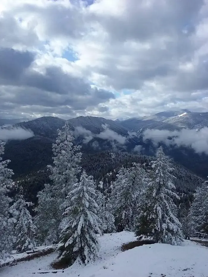 Thompson Peak Lookout TowerCampingPhoto: Recreation.gov (RIDB) / public domain9.6 mi
Source: Roamze catalog (indexable pages within 10 miles, PostGIS distance)
- Thompson Peak Lookout TowerCamping · ~16 min drive
- Muchwater Recreation AreaCamping · ~2 min drive
- Peninsula _North-001Camping · ~5 min drive
- Peninsula_001Camping · ~6 min drive
- Patrickaccess-003Camping · ~6 min drive
- Patrickaccess-002Camping · ~6 min drive
- Patrickaccess-006Camping · ~6 min drive
- Peninsula -010aCamping · ~6 min drive
- Patrickaccess-001Camping · ~6 min drive
- Patrickaccess-008Camping · ~6 min drive
Best time to visit Cascade Cg/Trhd
Best months: April–June and September–October. Best months have typical highs of 55–85 °F, lows of 30 °F or warmer (32 °F where the station doesn't record snow), at most one snowy day and no more than 12 wet days.
Jan
36° / 22°
10 wet
Feb
42° / 22°
9 wet
Mar
53° / 27°
10 wet
Apr
61° / 32°
10 wet
May
71° / 40°
11 wet
Jun
78° / 46°
10 wet
Jul
88° / 51°
6 wet
Aug
88° / 49°
5 wet
Sep
77° / 42°
6 wet
Oct
61° / 34°
9 wet
Nov
43° / 27°
12 wet
Dec
34° / 22°
11 wet
Typical high / low (°F) and days with rain or snow, 1991–2020. Measured at Superior, MT, 8.4 mi away at 2,710 ft. This station doesn't record snowfall. Source: NOAA NCEI U.S. Climate Normals 1991–2020.
