Worden Lake
- 0.5 mi
- round trip
- 174 ft
- climb
- 6,699 ft
- high point
- Out and back
- route
Is Worden Lake open right now?
Alert in the area
The Forest Service lists an alert for Lolo National Forest.
East Fork Big Creek Road & Trail Closure- Superior Ranger District
Agency alert covering Lolo National Forest · Order 26-003- · USFS · Lolo National Forest
As of · Source: USFS · Lolo National Forest. Agencies don't list every closure — check before you go.
Worden Lake is an easy, short hike in Montana's Rattlesnake Wilderness, inside the Missoula Ranger District of the Lolo National Forest. The trail is about half a mile long, with a one-way elevation gain of 174 feet, and it is an out-and-back route that starts and ends at the low point of the route, around 6,522 feet, and reaches a high of about 6,699 feet. The Forest Service manages the land, and the trail is on natural surface. Horses are allowed, but bikes are not. The hike is open year-round, and Big Lake lies just 0.1 mile away, so it pairs easily with a visit here. Sheridan Lake Trail is about 0.8 mile off, and Twin Lakes and Glacier Lake are both within about 2 miles.
Local outfitters
- Granite Peak RV Resort11 mi away
Not on Roamze yet. Their page has how to reach them.
- Big LakeHiking0.1 mi
- Sheridan Lake TrailHiking0.8 mi
- Twin LakesHiking1.1 mi
 Carter LakeMountain bikingPhoto: nklette, CC BY 3.0 (via Wikimedia Commons)1.1 mi
 Wrangle CreekMountain bikingPhoto: nklette, CC BY 3.0 (via Wikimedia Commons)1.8 mi
- Glacier LakeHiking1.8 mi
- Rattlesnake CreekHiking2.5 mi
- Northwest RegionRock climbing3.3 mi
Source: Roamze catalog (indexable pages within 10 miles, PostGIS distance)
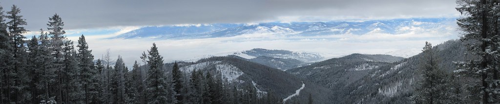 Snowbowl Mountain BikeHiking · ~7 min drivePhoto: Evan-Lovely, CC BY-SA 2.0 (via Flickr)
 SAWMILL GULCH CUTOFF DHiking · ~11 min drivePhoto: Forest Service - Northern Region, Public Domain Mark (via Flickr)
 Stuart PeakHiking · ~12 min drivePhoto: Forest Service - Northern Region, Public Domain Mark (via Flickr)
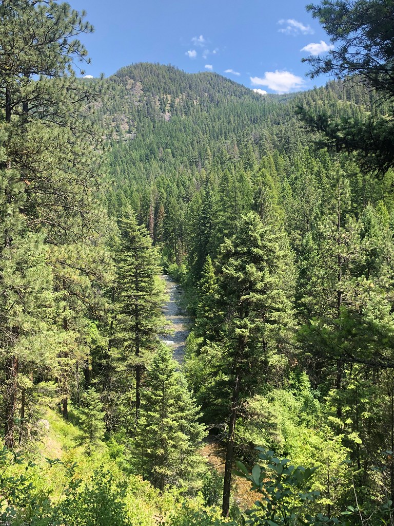 RATTLESNAKE CREEK CUTOFF GHiking · ~9 min drivePhoto: Forest Service - Northern Region, Public Domain Mark (via Flickr)
- Spring GulchHiking · ~11 min drivePhoto: Forest Service - Northern Region, Public Domain Mark (via Flickr)
 Rattlesnake CreekHiking · ~12 min drivePhoto: Forest Service - Northern Region, Public Domain Mark (via Flickr)
- WALLMAN CUTOFF AHiking · ~9 min drivePhoto: Forest Service - Northern Region, Public Domain Mark (via Flickr)
- Twin LakesHiking · ~2 min drive
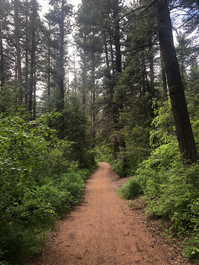 Sheep MountainHiking · ~13 min drivePhoto: Forest Service - Northern Region, Public Domain Mark (via Flickr)
- SAWMILL GULCH CUTOFF AHiking · ~11 min drivePhoto: Forest Service - Northern Region, Public Domain Mark (via Flickr)
