Sheep Mountain
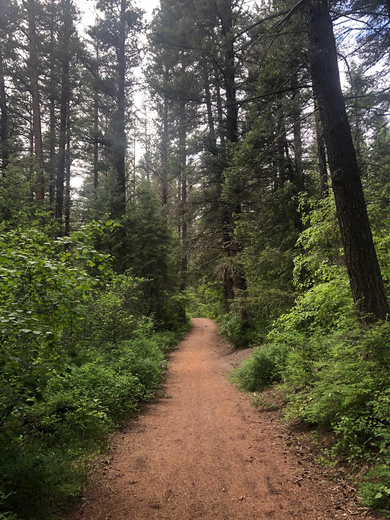 Photo: Forest Service - Northern Region, Public Domain Mark (via Flickr)
- 28.3 mi
- round trip
- 3,314 ft
- climb
- 7,617 ft
- high point
- Out and back
- route
Is Sheep Mountain open right now?
Alert in the area
The Forest Service lists an alert for Lolo National Forest.
East Fork Big Creek Road & Trail Closure- Superior Ranger District
Agency alert covering Lolo National Forest · Order 26-003- · USFS · Lolo National Forest
As of · Source: USFS · Lolo National Forest. Agencies don't list every closure — check before you go.
Sheep Mountain is a hard hike in the Missoula Ranger District of Montana's Lolo National Forest. The out-and-back route climbs from about 3,780 feet to roughly 7,617 feet, a total gain of 3,314 feet over about 28 miles. The trail is on natural surface, and the Forest Service manages the land. The trip starts at the Woods Gulch Trailhead, where parking is labeled "WOODS GULCH TRAILHEAD." The trail is open from about June 1 to November 15. Bikes and horses are allowed. The trailhead sits right beside the Rattlesnake Trailhead network, where the Sidewinder and Three Larch mountain biking routes are about half a mile away. Rattlesnake Creek is a hike a little farther out, and Pattee Canyon Picnic Area is about 8 miles away.
Local outfitters
- Granite Peak RV Resort9 mi away
Not on Roamze yet. Their page has how to reach them.
Keep exploring — more trails worth the drive
 Photo: Forest Service - Northern Region, Public Domain Mark (via Flickr)
Rattlesnake Creek
~1 min drive
28.25-mile out-and-back trail in Montana with 1,641 ft of elevation gain.
Photo: Forest Service - Northern Region, Public Domain Mark (via Flickr)Missoula Rattlesnake
~1 min drive
1.30-mile out-and-back trail in Montana with 57 ft of elevation gain.
 Photo: Forest Service - Northern Region, Public Domain Mark (via Flickr)
Spring Gulch
~2 min drive
3.64-mile out-and-back trail in Montana with 450 ft elevation gain.
Photo: Forest Service - Northern Region, Public Domain Mark (via Flickr)Stuart Peak
~2 min drive
26.06-mile out-and-back trail to Stuart Peak in Montana with 7,461 ft of elevation gain.
Photo: Forest Service - Northern Region, Public Domain Mark (via Flickr)Sawmill Gulch Wooten Ranch
~1 min drive
2.68-mile out-and-back trail in Montana with 324 ft gain.
Photo: Forest Service - Northern Region, Public Domain Mark (via Flickr)Three Larches
~2 min drive
4.38-mile out-and-back trail in Montana with 508 ft elevation gain.
HIKE
Wallman
~5 min drive
6.60-mile out-and-back trail in Montana with 577 ft elevation gain.
Photo: Forest Service - Northern Region, Public Domain Mark (via Flickr)RATTLESNAKE CREEK CUTOFF A
~2 min drive
1.94-mile out-and-back trail in Montana with 379 ft gain/loss.
 Photo: Forest Service - Northern Region, Public Domain Mark (via Flickr)
SAWMILL GULCH CUTOFF D
~4 min drive
2.36-mile out-and-back trail in Montana with 1,250 ft gain/loss and max elevation 4,810 ft.
HIKE
Sawmill Gulch (Rattlesnake)
~4 min drive
8.76-mile out-and-back trail in Montana with 1,466 ft elevation gain.

Route details
- Distance
- 28.3 mi round trip
- Climbing
- About 3,314 ft
- Starts at
- Woods Gulch Trailhead (about 3,779 ft)
- Summit
- 7,646 ft
- Difficulty
- Hard
- Time
- About 11 hours
Getting there
Park at WOODS GULCH TRAILHEAD.
Questions about this route
How long is the Sheep Mountain on Sheep Mountain?
About 28.3 mi round trip from Woods Gulch Trailhead (about 3,779 ft).
How much elevation gain is on the Sheep Mountain?
About 3,314 ft of climbing round trip.
How hard is the Sheep Mountain?
It is rated hard.
Where does the Sheep Mountain start?
Woods Gulch Trailhead (about 3,779 ft).
How long does the Sheep Mountain take?
About 11 hours round trip.
Conditions and forecast on Sheep Mountain
Daily highs and lows, wind and the chance of precipitation at the summit and route start for the next 7 days, from the Open-Meteo model.
